Brookfield in Worcester County, Massachusetts — The American Northeast (New England)
Foster Hill Road
West Brookfield

Photographed by G.W.Bartlett, June 26, 2026
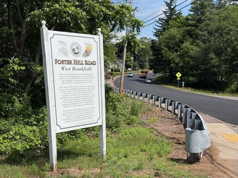
1. Foster Hill Road Marker
Foster Hill Road
West Brookfield
Historic sites along this road are the 1686 Brookfield Town Pound, the oldest known relic of the Quaboag Plantation; a Franklin Mile Marker; the area where the first settlement was attacked and burned by the Nipmuc Indians, August 2nd, 3rd and 4th, 1675.
After a party of Bay Colony emissaries was ambushed, the survivors and the Brookfield families took refuge in the Ayers Tavern, The "Fortified House." They were saved when a sudden rainstorm drenched the incendiary materials on the cart the Indians were placing next to the wall of the house. Before the Indians could find dry materials, a mounted troop from Marlborough arrived and the Indians withdrew, burning everything as they left. In 1686 the second settlement was established and called Brookfield.
At the western slope of the plateau, Judge Jedediah Foster's Homesite is on the left. The house, built in 1735, burned in 1901. By tradition, Jedediah Foster is credited with writing the initial draft of the Massachusetts Constitution, which later served as a model for the Constitution of
this page online
Quaboag Historical Society, est. 1895
Erected by Quaboag Historical Society.
Topics and series. This historical marker is listed in these topic lists: Colonial Era • Patriots & Patriotism • Wars, US Indian. In addition, it is included in the King Philip's War 1675-1676 series list. A significant historical year for this entry is 1660.
Location. 42° 13.132′ N, 72° 6.885′ W. Marker is in Brookfield, Massachusetts, in Worcester County. It is on West Main Street (State Road 9) near West Brookfield Road, on the left when traveling east. Touch for map. Marker is in this post office area: West Brookfield MA 01585, United States of America. Touch for directions.

Regionally, this marker is in the Quiet Corner and in Greater Worcester. It is also in the American Northeast and in New England. Globally, it is in North America, the Western Hemisphere, the Western World, and the Anglosphere. Historically, it finds itself in what was once one of the original Thirteen Colonies.
Other nearby markers. At least 8 other markers are within walking distance of this marker: Civil War Memorial (approx. 0.2 miles
Photographed by G.W.Bartlett, June 26, 2026
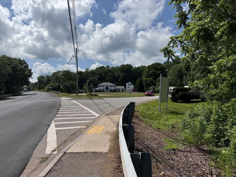
2. Foster Hill Road Marker
Related markers. Click here for a list of markers that are related to this marker.
Also see . . . Foster Hill - West Brookfield Historical Commission. The West Brookfield Historical Commission has assembled an array of information about the sites along Foster Hill Road and also provided a link to a Bochure with photos and an historical map of the 1675 Nipmuck attack.
With its pastoral vistas, West Brookfield’s Foster Hill today is one of a diminishing number of surviving “heirloom” Massachusetts landscapes. It also is the site of a number of events important in Massachusetts history, at least one of which belies its present day perception of enduring tranquility.(Submitted on June 29, 2026, by G.W.Bartlett of Hingham, Massachusetts.)
Photographed by G.W.Bartlett, June 26, 2026
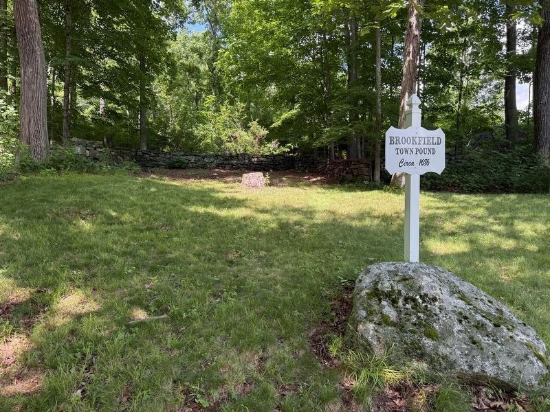
3. Foster Hill Road & Marker
Photographed by G.W.Bartlett, June 26, 2026
4. Brookfield Town Pound
circa 1686
circa 1686
Site of the Brookfield Town Pound
Credits. This page was last revised on July 5, 2026. It was originally submitted on June 27, 2026, by G.W.Bartlett of Hingham, Massachusetts. This page has been viewed 20 times since then. Photos: 1, 2, 3. submitted on June 27, 2026, by G.W.Bartlett of Hingham, Massachusetts. 4. submitted on June 29, 2026, by G.W.Bartlett of Hingham, Massachusetts. • Michael Herrick was the editor who published this page.
