Near Opelika in Lee County, Alabama — The American South (East South Central)
Union Grove Baptist Church
Lee County
Photographed by Jimmy Emerson, June 24, 2026
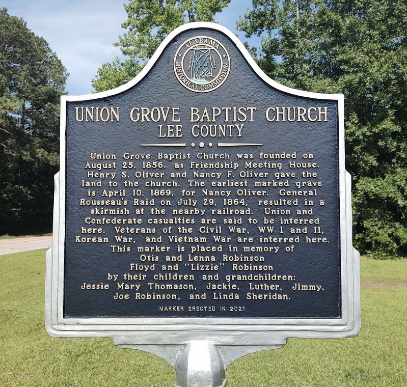
1. Union Grove Baptist Church Marker
Union Grove Baptist Church was founded on August 25, 1856, as Friendship Meeting House. Henry S. Oliver and Nancy F. Oliver gave the land to the church. The earliest marked grave is April 10, 1869, for Nancy Oliver. General Rousseau's Raid on July 29, 1864, resulted in a skirmish at the nearby railroad. Union and Confederate casualties are said to be interred here. Veterans of the Civil War, WW I and II, Korean War, and Vietnam War are interred here. This marker is placed in memory of Otis and Lenna Robinson Floyd and "Lizzie" Robinson by their children and grandchildren: Jessie Mary Thomason, Jackie, Luther, Jimmy, Joe Robinson, and Linda Sheridan.
Erected 1921 by Alabama Historical Commission.
Topics. This historical marker is listed in these topic lists: Cemeteries & Burial Sites • Religion & Religious Structures • War, US Civil. A significant historical year for this entry is 1856.
Location. 32° 37.012′ N, 85° 18.294′ W. Marker is near Opelika, Alabama, in Lee County. It is on County Road 391 east of County Road 151, on the right when traveling east. Touch for map. Marker is at or near
this page online

Regionally, this marker is in East Alabama and in Greater Columbus. It is also in the American South and specifically in the Deep South. Globally, it is in North America, a Gulf of Mexico state, the Western Hemisphere, the Western World, and the Anglosphere. Historically, it finds itself in what was once the territory of the Mississippian Culture, one of the Confederate States of America, and the Antebellum South.
Other nearby markers. At least 8 other markers are within 5 miles of this marker, measured as the crow flies: Spring Villa (approx. 2 miles away); Lebanon Methodist Meeting House (approx. 3.7 miles away); Camp Opelika (approx. 3.9 miles away); Salem, Alabama (approx. 3.9 miles away); Thompson Chapel (approx. 4.2 miles away); J.W. Darden High School (approx. 4.3 miles away); Former Site of J. W. Darden High School (approx. 4.3 miles away); Barbara H. Patton (approx. 4.4 miles away). Touch for a list and map of all markers in Opelika.
Photographed by Jimmy Emerson, June 24, 2026
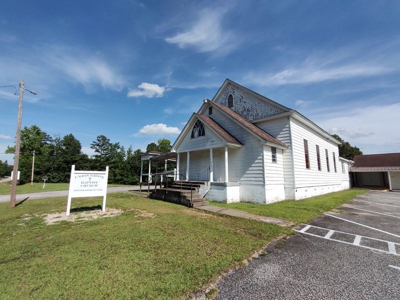
2. Union Grove Baptist Church & Marker
Credits. This page was last revised on June 28, 2026. It was originally submitted on June 27, 2026, by Jimmy Emerson of Dalton, Georgia. This page has been viewed 17 times since then. Photos: 1, 2. submitted on June 27, 2026, by Jimmy Emerson of Dalton, Georgia. • James Hulse was the editor who published this page.
