Quaboag Plantation in West Brookfield in Worcester County, Massachusetts — The American Northeast (New England)
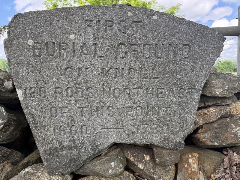
First Burial Ground
Photographed by G.W.Bartlett, June 26, 2026
1. First Burial Ground Marker
Burial Ground
on knoll
120 rods northeast
of this point.
1660 - 1730
Topics. This historical marker is listed in these topic lists: Cemeteries & Burial Sites • Colonial Era • Settlements & Settlers.
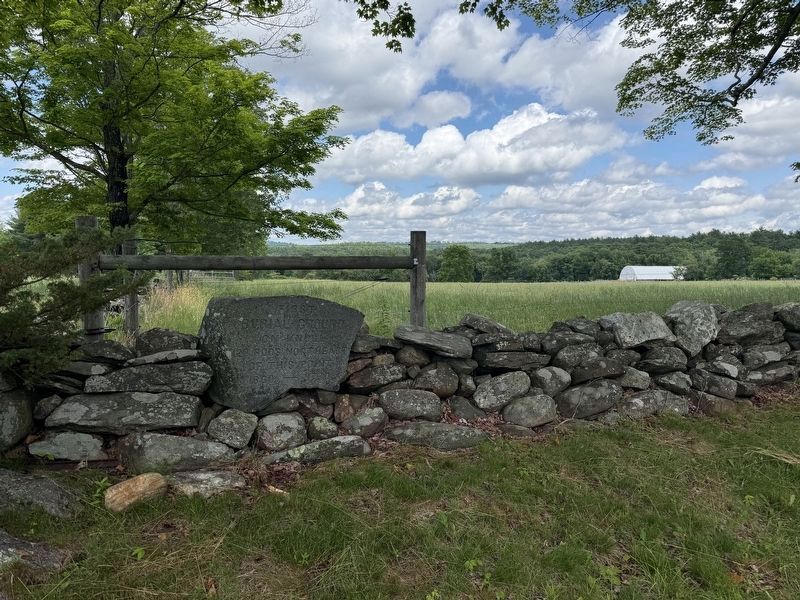
Location. 42° 13.841′ N, 72° 7.523′ W. Marker is in West Brookfield, Massachusetts, in Worcester County. It is in Quaboag Plantation. It is on Forest Hill Road 0.2 miles west of George Allen Road, on the right when traveling west. Touch for map. Marker is in this post office area: West Brookfield MA 01585, United States of America. Touch for directions.

Regionally, this marker is in the Quiet Corner and in Greater Worcester. It is also in the American Northeast and in New England. Globally, it is in North America, the Western Hemisphere, the Western World, and the Anglosphere. Historically, it finds itself in what was once one of the original Thirteen Colonies.
Other nearby markers. At least 8 other markers are within walking distance of this marker: Thomas and Mary Millett’s Home Site (within shouting distance of this marker); The First and Second Meeting Houses
this page online
Photographed by G.W.Bartlett, June 26, 2026
2. First Burial Ground Marker
Credits. This page was last revised on July 5, 2026. It was originally submitted on June 27, 2026, by G.W.Bartlett of Hingham, Massachusetts. This page has been viewed 13 times since then. Photos: 1, 2. submitted on June 27, 2026, by G.W.Bartlett of Hingham, Massachusetts. • Michael Herrick was the editor who published this page.
