Brownsburg in Hendricks County, Indiana — The American Midwest (Great Lakes)
The B&O Trail
Photographed by Tom Bosse, June 16, 2026
1. The B&O Trail Marker
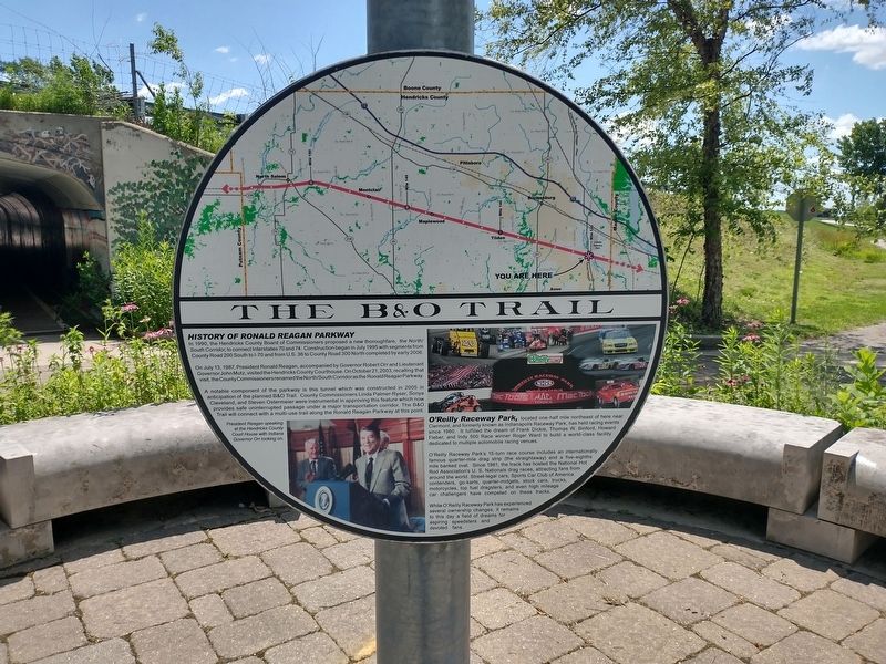
History of Ronald Reagan Parkway
In 1990, the Hendricks County Board of Commissioners proposed a new thoroughfare, the North / South Corridor, to connect Interstate 70 and 74. Construction began in July 1995 with segments from County Road 200 South to I-70 and from U.S. 36 to County Road 300 North completed by early 2006.
On July 13, 1987, President Ronald Reagan, accompanied by Governor Robert Orr and Lieutenant Governor John Mutz, visited the Hendricks County Courthouse. On October 21, 2003, recalling that visit, the County Commissioners renamed the North / South Corridor as the Ronald Reagan Parkway.
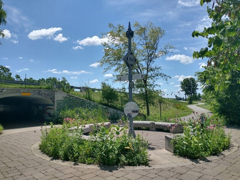
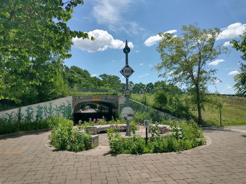
A notable component of the parkway is this tunnel which was constructed in 2005 in anticipation of the planned B&O Trail. County Commissioners Linda Palmer-Ryser, Conja Cleveland, and Steven Ostermeier were instrumental in approving this feature which now provides safe uninterrupted passage under a major transportation corridor. The B&O Trail will connect with a multi-use trail along the Ronald Reagan Parkway at this point
O’Reilly Raceway Park, located one-half mil northeast of here near Clermont, and formerly
this page online
O’Reilly Raceway Park’s 15-turn race course includes and internationally famous quarter-mile drag strip (the straightaway) and a five-eighths mile banked oval. Since 1961, the track has hosted the National Hot Rod Association’s U.S. Nationals drag races, attracting fans from around the world. Street-legal cars, Sports Car Club o America contenders, go-karts, quarter-midgets, stock cars, trucks, motorcycles, top fuel dragsters, an even high mileage car challengers have competed on these tracks.
While O’Reilly Raceway Park has experienced several ownership changes, it remains to this day a field of dreams for aspiring speedsters and devoted fans.
Topics. This historical marker is listed in these topic lists: Parks & Recreational Areas • Roads & Vehicles • Sports. A significant historical month for this entry is July 1995.
Location. 39° 48.225′ N, 86° 20.995′ W. Marker is
Photographed by Tom Bosse, June 16, 2026
2. The B&O Trail Marker

Regionally, this marker is in Central Indiana and specifically in Greater Indianapolis. It is also in the American Midwest and in the Corn Belt. Globally, it is in North America, the Western Hemisphere, the Western World, and the Anglosphere. Historically, it finds itself in what was once the territory of the Mississippian Culture and also the Northwest Territory.
Other nearby markers. At least 8 other markers are within 4 miles of this marker, measured as the crow flies: Rodger Ward (within shouting distance of this marker); Virgil Park (approx. 0.6 miles away); Robbie Stanley (approx. 3½ miles away); The Korean War (approx. 3½ miles away); The Vietnam War (approx. 3½ miles away); The Revolutionary War (approx. 3½ miles away); The Civil War (approx. 3.6 miles away); World War I (approx. 3.6 miles away).
Photographed by Tom Bosse, June 16, 2026
3. The B&O Trail Marker
Credits. This page was last revised on July 9, 2026. It was originally submitted on June 28, 2026, by Tom Bosse of Jefferson City, Tennessee. This page has been viewed 14 times since then. Photos: 1, 2, 3. submitted on June 28, 2026, by Tom Bosse of Jefferson City, Tennessee. • Devry Becker Jones was the editor who published this page.
