the Inyo National Forest in Mono County, California — The American West (Pacific Coastal)
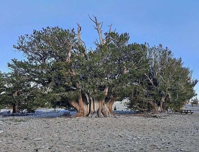
The Patriarch
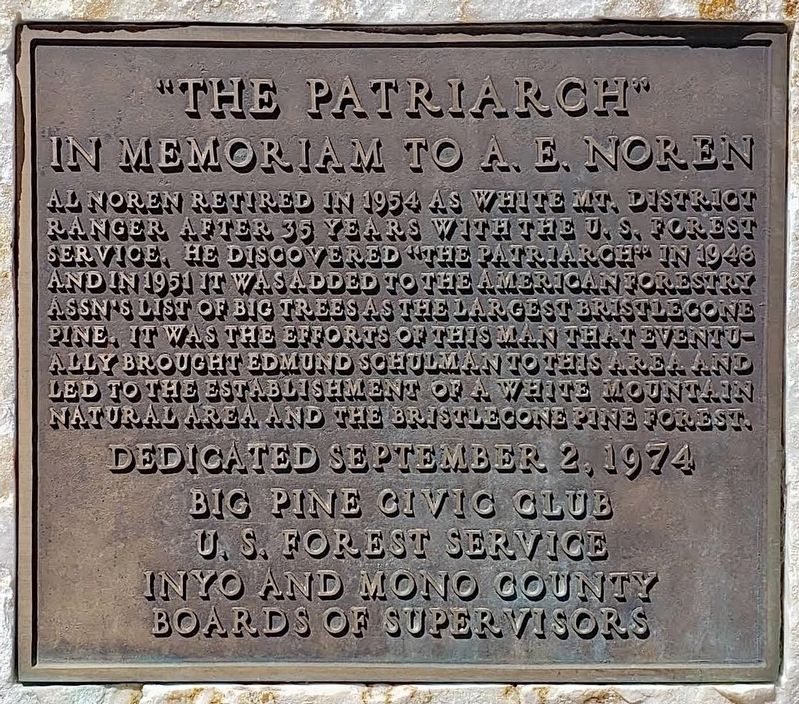
In Memoriam to A.E. Noren
| — | Largest Bristlecone Pine | — |
Photographed by Craig Baker
1. The Patriarch Marker
Al Noren retired in 1954 as White Mt. District Ranger after 35 years with the U.S. Forest Service. He discovered The Patriarch in 1948 and in 1951 it was added to the American Forestry Assn's List of Big Trees as the Largest Bristlecone Pine. It was the efforts of this man that eventually brought Edmund Schulman to this area and led to the establishment of a White Mountain Natural Area and the Bristlecone Pine Forest.
Erected 1974 by Big Pine Civic Club, U.S. Forest Service, Inyo and Mono County Boards of Supervisors.
Topics and series. This historical marker is listed in these topic lists: Horticulture & Forestry • Parks & Recreational Areas • Science & Medicine. In addition, it is included in the Historic Trees series list. A significant historical year for this entry is 1954.
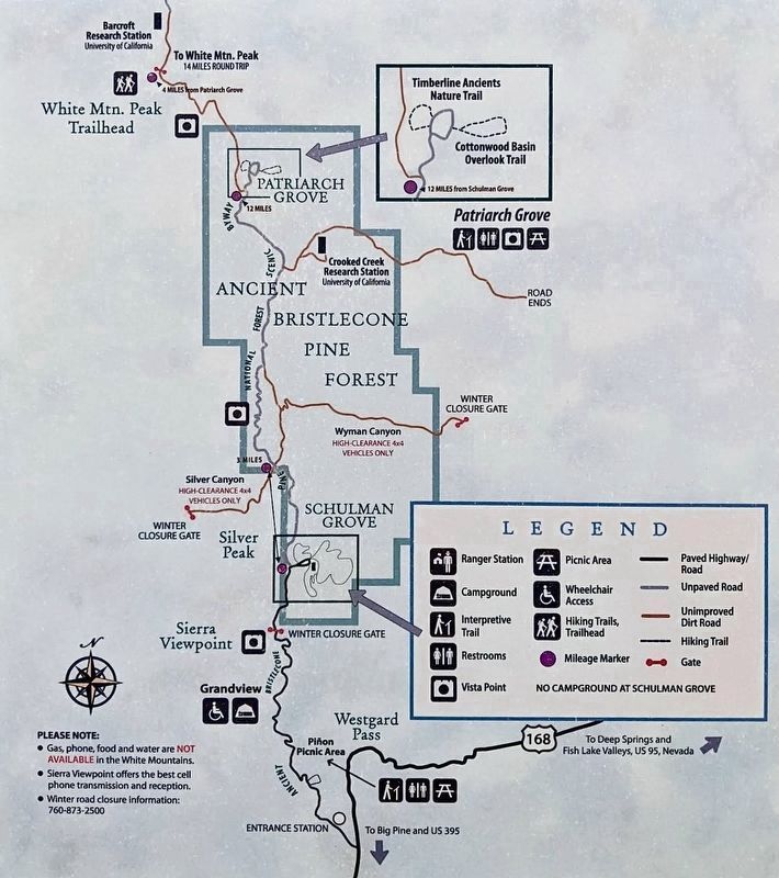
Location. 37° 31.698′ N, 118° 11.96′ W. Marker is in the Inyo National Forest, California, in Mono County. It can be reached from White Mountain Road 13 miles north of Ancient Bristlecone Pine Forest Visitor Center, on the right when traveling north. Touch for map. Marker is in this post office area: Bishop CA 93514, United
this page online

Regionally, this marker is in the Sierra Nevada. It is also in the American Mountain West. Globally, it is in North America, on the Ring of Fire, on the Pacific Rim, in the Western Hemisphere, in the Western World, and in the Anglosphere. Historically, it finds itself in what was once New Spain and also Mexico’s Alta California.
Other nearby markers. At least 3 other markers are within 12 miles of this marker, measured as the crow flies: Dr. Edmund P. Schulman (approx. 9.9 miles away); Laws Station (approx. 12 miles away); Reception Center (approx. 12 miles away).
More about this marker.
High ground clearance vehicle recommended.
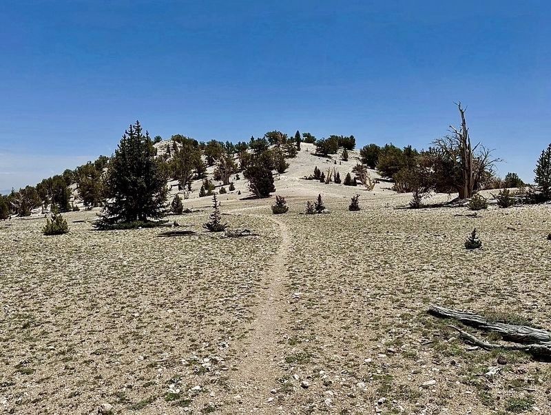
The half-mile loop hike to the marker is at an altitude of 11,300 feet.
Also see . . . Patriarch Grove Trail. (Submitted on June 30, 2026.)

Photographed by Craig Baker
2. The Patriarch and Marker
Photographed by Craig Baker
3. The Patriarch
Photographed by Craig Baker
4. Trail to The Patriarch
Photographed by Craig Baker
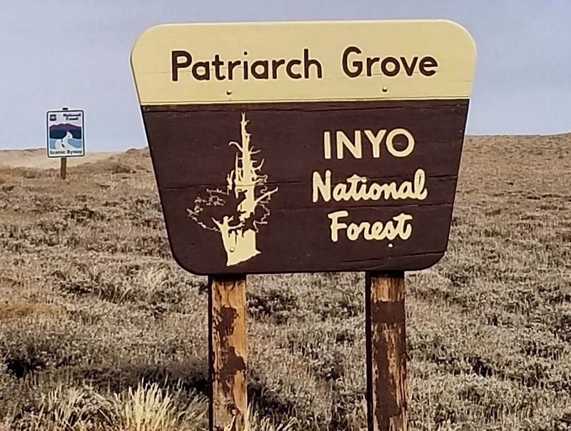
5. Road Sign
Photographed by Craig Baker
6. Road Map
Bristlecone Pine National Forest Scenic Byway is also known as White Mountain Road. Ancient Bristlecone Pine Forest Visitor Center is at Schulman Grove.
Credits. This page was last revised on August 28, 2026. It was originally submitted on June 30, 2026, by Craig Baker of Sylmar, California. This page has been viewed 28 times since then. Photos: 1, 2, 3, 4, 5, 6. submitted on June 30, 2026, by Craig Baker of Sylmar, California.
