
Watford City in McKenzie County, North Dakota — The American Midwest (Upper Plains)
Ox Bow Bend Overlook
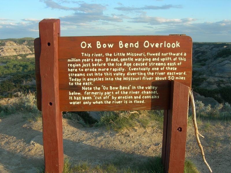
Photographed by Jimmy Emerson, June 1, 2009
1. Ox Bow Bend Overlook Marker
Note the "Ox Bow Bend" in the valley below. formerly part of the river channel, it has been "cut off by erosion and contains water only when the river is in flood.
Topics. This historical marker is listed in these topic lists: Natural Features • Waterways & Vessels.
Location. 47° 36.187′ N, 103° 26.521′ W. Marker is in Watford City, North Dakota, in McKenzie County. It can be reached from Scenic Drive. Touch for map. Marker is at or near this postal address: Scenic Drive, Arnegard ND 58835, United States of America. Touch for directions.

Regionally, this marker is in North Dakota’s Bakken Oil Patch. It is also in the American Lewis & Clark Corridor, on the prairies, and on the Northern Plains. Globally,
this page online
Other nearby markers. At least 8 other markers are within 7 miles of this marker, measured as the crow flies: A Wild River / Growing Old / Cotton (about 500 feet away, measured in a direct line); Work in Progress / Better Together (approx. 2.9 miles away); The View that Launched a Park (approx. 3 miles away); Bentonitic Clay (approx. 3.2 miles away); The Long X Trail: A Dusty Trail to Greener Pastures (approx. 4.1 miles away); North Dakota Badlands (approx. 4½ miles away); Cannonball Mystery (approx. 5.1 miles away); Tilted (approx. 6½ miles away). Touch for a list and map of all markers in Watford City.
Other markers no longer nearby. Roosevelt and the Boat Thieves (was within shouting distance of this marker but has been permanently removed); Edge of a Glacier (was approx. 0.7 miles away but has been permanently removed); Man and Grass (was approx. 2.9 miles away but has been replaced with another marker now near it); Building From Hard Times
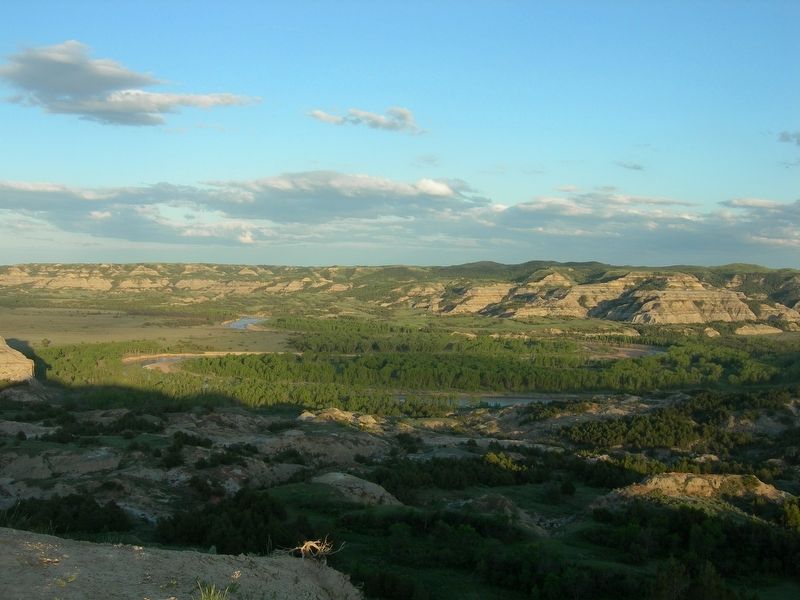
Photographed by Jimmy Emerson, June 1, 2009
2. Ox Bow Bend
Theodore Roosevelt National Park, North Unit
More about this marker. Marker is located in Theodore Roosevelt National Park, North Unit
Credits. This page was last revised on July 19, 2026. It was originally submitted on July 2, 2026, by Jimmy Emerson of Dalton, Georgia. This page has been viewed 12 times since then. Photos: 1, 2. submitted on July 2, 2026, by Jimmy Emerson of Dalton, Georgia. • Andrew Ruppenstein was the editor who published this page.
