Danville, Virginia — The American South (Mid-Atlantic)
Danville Canal
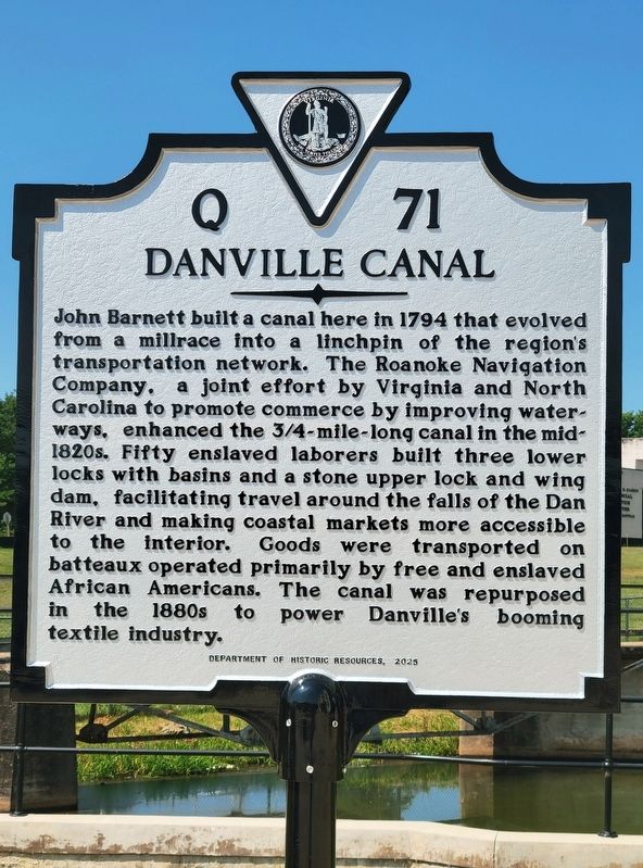
Photographed by C. Ryan Dodson, July 3, 2026
1. Danville Canal Marker
Erected 2025 by Virginia Department of Historic Resources. (Marker Number Q 71.)
Topics and series. This historical marker is listed in these topic lists: African Americans • Agriculture • Industry & Commerce • Waterways & Vessels. In addition, it is included in the Virginia Department of Historic Resources (DHR) series list. A significant historical year for this entry is 1794.
Location. 36° 35.427′ N, 79° 23.62′ W. Marker is in
this page online

Regionally, this marker is in Southside Virginia and specifically in Central Virginia. It is also in the American South and specifically in the Upper South. Globally, it is in North America, the Western Hemisphere, the Western World, and the Anglosphere. Historically, it finds itself in what was once the territory of the Mississippian Culture, one of the original Thirteen Colonies, one of the Confederate States of America, and the Antebellum South.
Other nearby markers. At least 8 other markers are within walking distance of this marker: This Trough (about 300 feet away, measured in a direct line); Centennial Celebration of the Danville Tobacco Association (about 300 feet away); Hippodrome Theatre and the TOBA Circuit
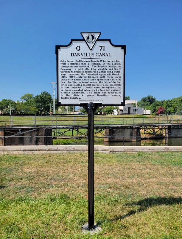
Photographed by C. Ryan Dodson, July 3, 2026
2. Danville Canal Marker
Also see . . . Danville remembers old canal with historic marker - [Chatham Star-Tribune]. (Submitted on July 8, 2026, by Mark Hilton of Montgomery, Alabama.)
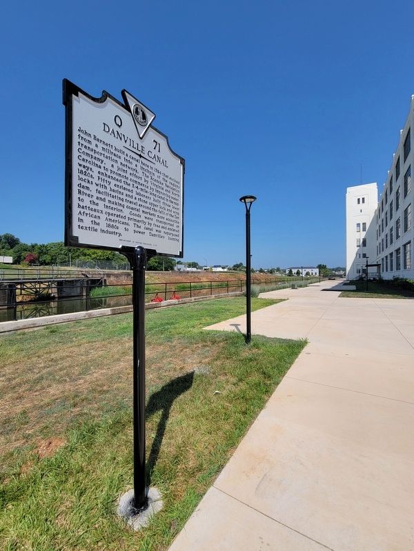
Photographed by C. Ryan Dodson, July 3, 2026
3. Danville Canal Marker
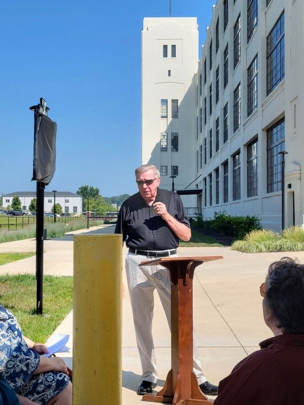
Photographed by C. Ryan Dodson, July 3, 2026
4. Danville Canal Marker
Prior to its unveiling on July 3, 2026.
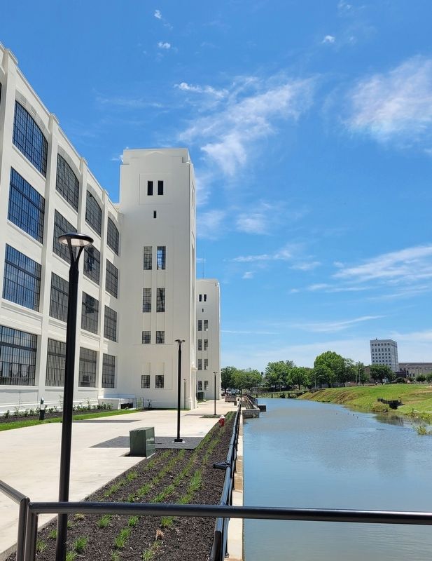
Photographed by C. Ryan Dodson, May 19, 2025
5. Danville Canal
Dan River Falls, a former textile mill, can be seen in the background.
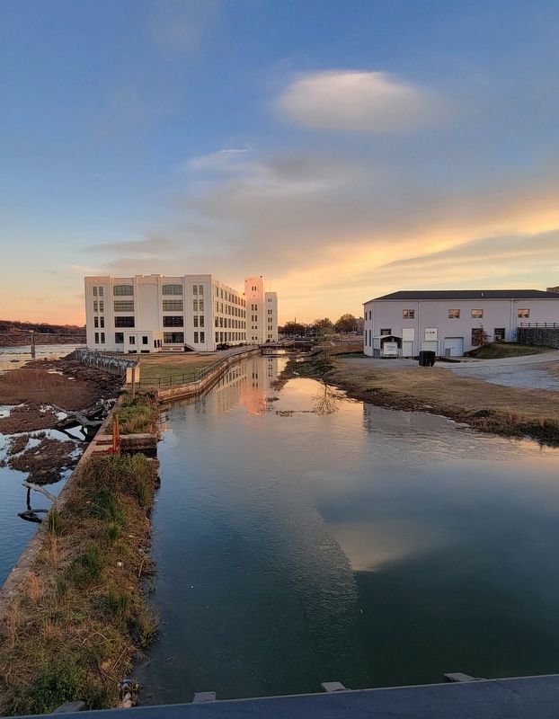
Photographed by C. Ryan Dodson, December 7, 2024
6. Danville Canal
As seen from the Union Street Bridge.
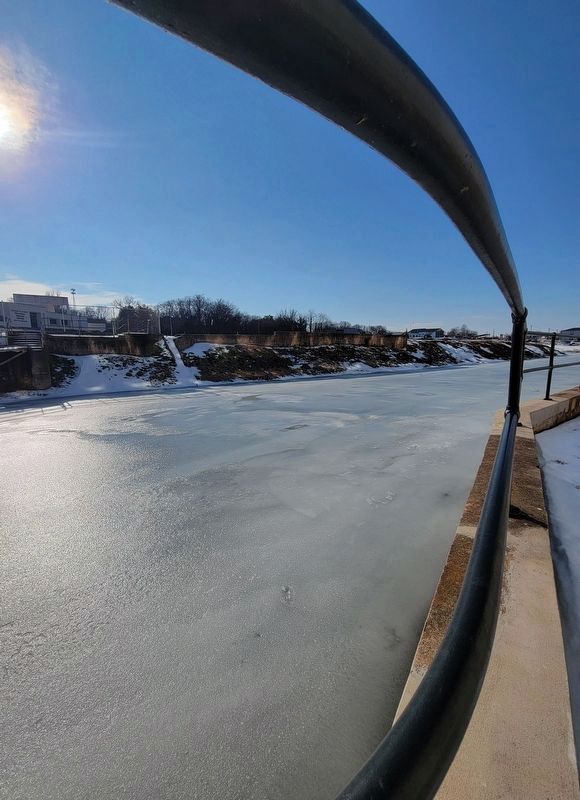
Photographed by C. Ryan Dodson, February 5, 2026
7. Danville Canal

Photographed by C. Ryan Dodson, May 19, 2025
8. Danville Canal Bridge
This pedestrian bridge, built in 1927, is still in use for crossing over the canal.
Credits. This page was last revised on July 16, 2026. It was originally submitted on July 3, 2026, by C. Ryan Dodson of Danville, Virginia. This page has been viewed 48 times since then. Photos: 1, 2, 3, 4, 5, 6. submitted on July 3, 2026, by C. Ryan Dodson of Danville, Virginia. 7, 8. submitted on July 15, 2026, by C. Ryan Dodson of Danville, Virginia. • Bernard Fisher was the editor who published this page.
