Westville in Adair County, Oklahoma — The American South (West South Central)
Home in the West
Westville and the Trail of Tears
| — | Trail of Tears National Historic Trail | — |
Photographed by Marc Hayot, June 28, 2026
1. Home in the West Marker
Home in the West
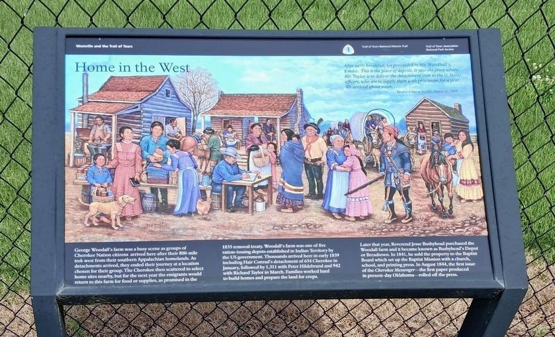
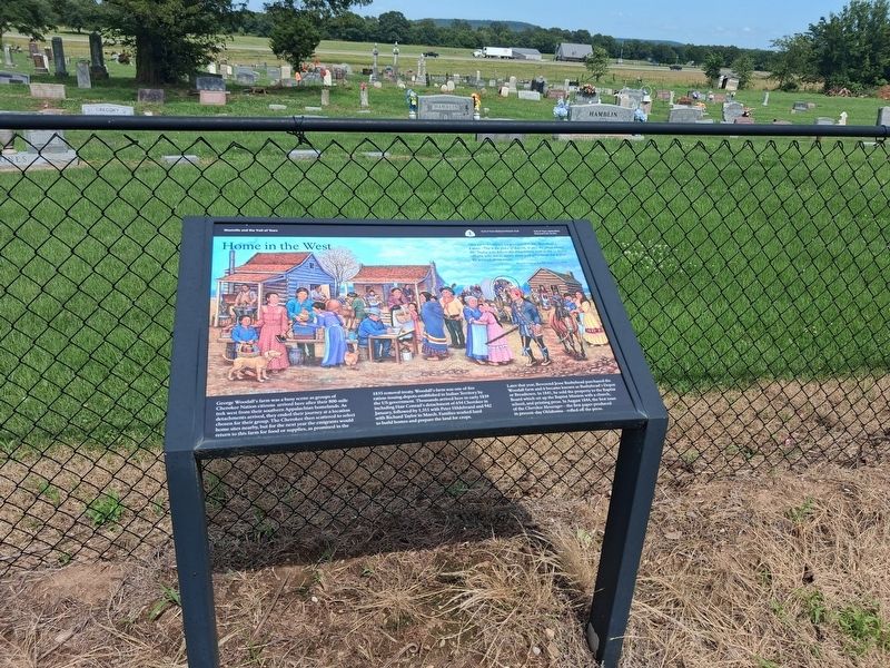
George Woodall's farm was a busy scene as groups of Cherokee Nation citizens arrived here after their 800-mile trek west from their southern Appalachian homelands. As detachments arrived, they ended their journey at a location chosen for their group. The Cherokee then scattered to select homesites nearby, but for the next year the emigrants would return to this farm for food or supplies as promised in the 1835 removal treaty. Woodall's farm was one of five ration-issuing depots established in Indian Territory by the US government. Thousands arrived here in early 1839 including Hair Conrad's detachment of 654 Cherokee in January, followed by 1,311 with Peter Hildebrand and 942 with Richard Taylor in March. Families worked hard to build homes and prepare the land for crops.
Later that year, Reverend Jesse Bushyhead purchased the Woodall farm and it became known as Bushyhead's Deoit or Beardtown. In 1841, he sold the property to the Baptist Board which set up the Baptist Mission with a church, school, and printing press. In August 1844, the first issue of the Cherokee Messenger -- the first paper produced
this page online
Erected 2014 by Oklahoma Trail of Tears Association, National Park Service.
Topics and series. This historical marker is listed in these topic lists: Communications • Immigration • Indigenous Peoples and Communities • Settlements & Settlers. In addition, it is included in the Trail of Tears series list. A significant historical year for this entry is 1839.
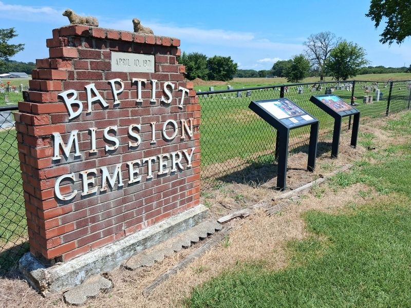
Location. 36° 2.117′ N, 94° 35.017′ W. Marker is in Westville, Oklahoma, in Adair County. It is on Old Mission Mountain Road, on the right when traveling north. This marker and "The End of the Journey" marker are located at the entrance of Baptist Mission Cemetery. Touch for map. Marker is in this post office area: Westville OK 74965, United States of America. Touch for directions.

Regionally, this marker is in the Cherokee Nation and in Northeast Oklahoma—Green Country. It is also in the American South, specifically in the Ozarks, on the prairies, and on the Southern Plains. Globally, it is in North America, the Western Hemisphere, the Western World, and the Anglosphere. Historically, it finds itself
Photographed by Marc Hayot, June 28, 2026
2. Home in the West Marker
Other nearby markers. At least 8 other markers are within 11 miles of this marker, measured as the crow flies: The End of the Journey (here, next to this marker); Robert Rogers (here, next to this marker); Baptist Mission (a few steps from this marker); a different marker also named Baptist Mission (a few steps from this marker); Fort Wayne (approx. 4.9 miles away); Reeves House (approx. 10½ miles away in Arkansas); Pyeatte House (approx. 10½ miles away in Arkansas); Grand Army of the Republic Memorial (approx. 10½ miles away in Arkansas). Touch for a list and map of all markers in Westville.
More about this marker. A second version of this marker can be found in Stilwell Cemetery.
Photographed by Marc Hayot, July 5, 2026
3. Home in the West Marker
Credits. This page was last revised on July 19, 2026. It was originally submitted on July 4, 2026, by Marc Hayot of Siloam Springs, Arkansas. This page has been viewed 23 times since then. Photos: 1. submitted on July 19, 2026, by Marc Hayot of Siloam Springs, Arkansas. 2. submitted on July 4, 2026, by Marc Hayot of Siloam Springs, Arkansas. 3. submitted on July 6, 2026, by Marc Hayot of Siloam Springs, Arkansas. • Andrew Ruppenstein was the editor who published this page.
