Patrick Springs in Patrick County, Virginia — The American South (Mid-Atlantic)
Col. Abram Penn
(1743-1801)
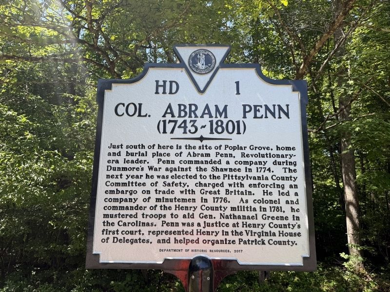
Just south of here is the site of Poplar Grove, home and burial place of Abram Penn, Revolutionary-era leader. Penn commanded a company during Dunmore's War against the Shawnee in 1774. The next year he was elected to the Pittsylvania County Committee of Safety, charged with enforcing an embargo on trade with Great Britain. He led a company of minutemen in 1776. As colonel and commander of the Henry County militia in 1781, he mustered troops to aid Gen. Nathanael Greene in the Carolinas. Penn was a justice at Henry County's first court, represented Henry in the Virginia House of Delegates, and helped organize Patrick County.
Erected 2017 by Department of Historic Resources. (Marker Number HD-1.)
Topics and series. This historical marker is listed in these topic lists: Government & Politics • Law Enforcement • War, US Revolutionary • Wars, US Indian. In addition, it is included in the Virginia Department of Historic Resources (DHR) series list. A significant historical year for this entry is 1774.
Location. 36° 40.943′ N, 80° 5.495′ W. Marker is in Patrick Springs, Virginia, in Patrick County. It is at
this page online

Regionally, this marker is in Southern Virginia and in the Blue Ridge Highlands. It is also in the American South, specifically in the Upper South, in Appalachia, and specifically in Southern Appalachia. Globally, it is in North America, the Western Hemisphere, the Western World, and the Anglosphere. Historically, it finds itself in what was once the territory of the Mississippian Culture, one of the original Thirteen Colonies, one of the Confederate States of America, and the Antebellum South.
Other nearby markers. At least 8 other markers are within 6 miles of this marker, measured as the crow flies: Tobacco Barn (approx. 4.1 miles away); Family Cemetery (approx. 4.1 miles away); The Reynolds Homestead (approx. 4.2 miles away); Plantation Kitchen (approx. 4.2 miles away); Creamery & Ice House (approx. 4.2 miles away); Historic Home (approx.
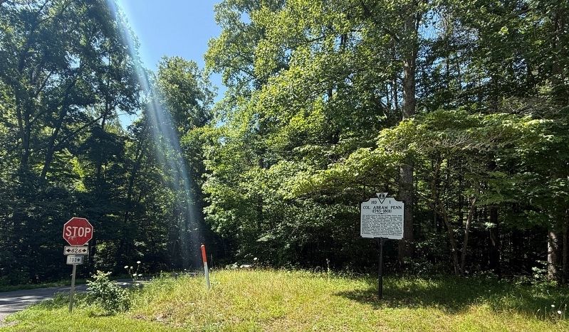
Another marker is no longer nearby. Colonel Abram Penn (was here, next to this marker but has been replaced with another marker now near it).
Credits. This page was last revised on July 5, 2026. It was originally submitted on July 5, 2026, by Devry Becker Jones of Washington, District of Columbia. This page has been viewed 19 times since then. Photos: 1, 2. submitted on July 5, 2026, by Devry Becker Jones of Washington, District of Columbia.
