
Southwark in Greater London, England, United Kingdom — Northwestern Europe (the British Isles)
Potters Fields Park
Photographed by Adam Margolis, June 17, 2026
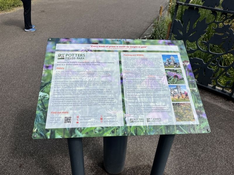
1. Potters Fields Park Marker
In Victorian times the dockside part of the Pool of London, was one or the busiest stretches of river in the world, with ships transporting goods from around the globe. After lower Bridge opened in 1894, the area was known as Tower Bridge Wharf until the early 1900s.
By the 1970s, the docks had closed. The site became the William Curtis Ecology Park for a few years until a master plan was drawn up in 1982 tō redevelop the riverside, including Potters Fields Park.
Designated as Metropolitan Open Land, the Park closed in 2006 for refurbishment, reopening in 2007 as a beautiful, world class facility, enjoyed by thousands of people every day. Landscape architects Gross Max created a place for public events and private contemplation; a park which reflects upon its distinctive history and provides
this page online
Topics. This historical marker is listed in these topic lists: Industry & Commerce • Parks & Recreational Areas • Waterways & Vessels. A significant historical year for this entry is 1618.
Location. 51° 30.204′ N, 0° 4.757′ W. Marker is in Southwark, England, in Greater London. It is at the intersection of Tooley Street and Potters Fields, on the left when traveling east on Tooley Street. Touch for map. Marker is in this post office area: Southwark, England SE1, United Kingdom. Touch for directions.

Regionally, this marker is in the Greater South East. Globally, it is on the Atlantic Ocean, in the North Atlantic Region, in Europe, in Atlantic Europe, on one of the British Isles, in the Western World, and in the Anglosphere. Historically, it finds itself in what was once the Roman Empire.
Other nearby markers. At least 8 other markers are within walking distance of this marker: Tower Bridge Control Cabin (approx. 0.3 kilometers away); The Great Fire of Tooley Street (approx. 0.4 kilometers away); Hay's Wharf (approx. 0.4 kilometers away); The Tower Wharf (approx. half
Photographed by Adam Margolis, June 17, 2026
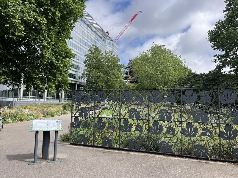
2. Potters Fields Park Marker
Photographed by Adam Margolis, June 17, 2026
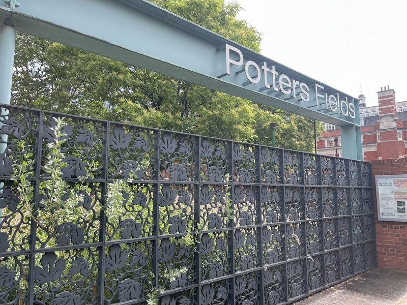
3. Potters Fields Park Marker
Credits. This page was last revised on July 8, 2026. It was originally submitted on July 5, 2026, by Adam Margolis of Mission Viejo, California. This page has been viewed 8 times since then. Photos: 1, 2, 3. submitted on July 5, 2026, by Adam Margolis of Mission Viejo, California. • Andrew Ruppenstein was the editor who published this page.
