Near Wytheville in Wythe County, Virginia — The American South (Mid-Atlantic)
Battle of Wytheville
Skirmish at Stony Creek
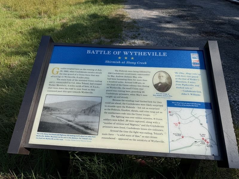
Gunfire erupted here on the evening of July 18, 1863, when Confederate cavalry struck the rear guard of a Union force that was advancing on Wytheville, 8 miles away.
The main body of the mounted Union raiding party, commanded by Col. John Toland, had crossed Walker Mountain, 4 miles north of here, at 3 p.m., then came down the road to your front as they continued past this spot towards Wytheville.
The Federals were being followed by 250 Confederate cavalrymen, commanded by Maj. Andrew Jackson May, who had been harassing them for more than a hundred miles. Around 5:30 pm, as the head of the Union column was closing on Wytheville, the small Union rear guard was resting here, guarding 35 Confederate prisoners, when May's men caught up and struck.
Because the winding road limited how far they could see ahead, the Confederates were likely surprised to stumble upon the Federals — but not as surprised as the Federals. Gunfire, shouts, and cries rang out as the southerners rode into the Union troops.
The fighting was over within minutes. 8 Union soldiers were killed. 20 were captured, along with a "number of citizens
this page online
Around the time the fighting was ending, Toland's main force — "a solid mass of blue," as one citizen remembered — appeared on the outskirts of Wytheville.
"He [Maj. May] came up with their rear guard at the foot of Walker's Mountain, 8 miles from Wytheville, and dashed into it."
— Confederate Gen. John S. Williams
[Caption:]
This is the Stony Fork Road (old Highway 52) looking north about six miles from Wytheville. Walker Mountain can be seen in the distance. Col Toland's men marched into Wytheville on this road. — Courtesy Wythe County Historical Society
Erected by Virginia Civil War Trails. (Marker Number 2.)
Topics and series. This historical marker is listed in these topic lists: Roads & Vehicles • War, US Civil. In addition, it is included in the Virginia Civil War Trails series list. A significant historical date for this entry is July 18, 1863.
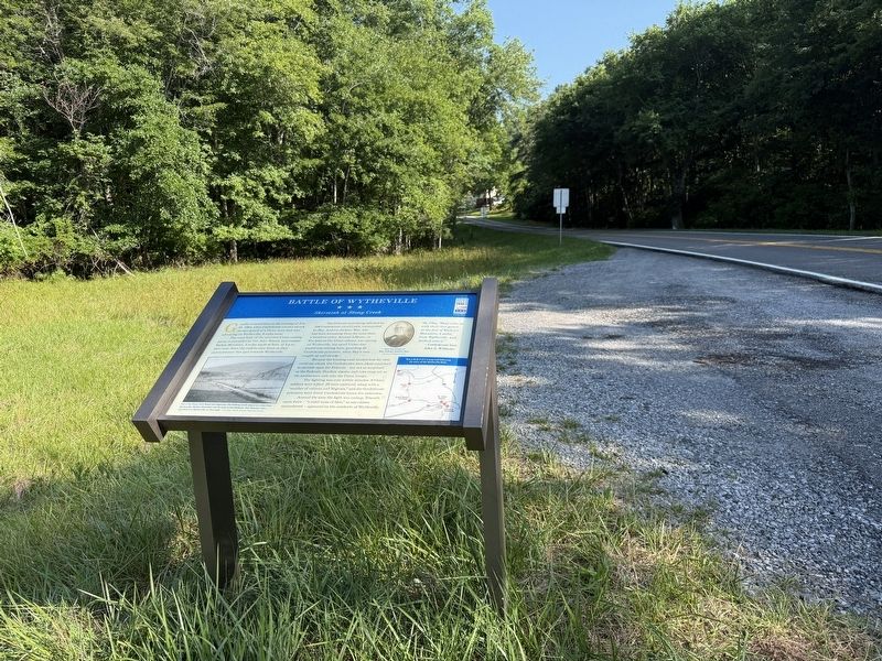
Location. 37° 0.614′ N, 81° 11.408′ W. Marker is near Wytheville, Virginia, in Wythe County. It is on Stoney Fork Road (U.S. 52) north of Krenning Road (Virginia Route 717), on the right.

Regionally, this marker is in Southwest Virginia and in the Blue Ridge Highlands. It is also in the American South, specifically in the Upper South, in Appalachia, and specifically in Southern Appalachia. Globally, it is in North America, the Western Hemisphere, the Western World, and the Anglosphere. Historically, it finds itself in what was once the territory of the Mississippian Culture, one of the original Thirteen Colonies, one of the Confederate States of America, and the Antebellum South.
Other nearby markers. At least 8 other markers are within 6 miles of this marker, measured as the crow flies: Homesteader's Legacy (approx. 2.6 miles away); One of the “Big Four” (approx. 2.8 miles away); a different marker also named Battle of Wytheville (approx. 3.1 miles away); Toland’s Raid (approx. 3.2 miles away); Wythe County / Bland County (approx. 3.2 miles away); a different marker also named Battle of Wytheville (approx. 3.2 miles away); George Daniel Flohr (approx. 5.9 miles away); The Flohr House (approx. 5.9 miles away). Touch for a list and map of all markers in Wytheville.
Other markers no longer nearby. Battle of Wytheville (has been replaced with this marker); a different marker also named One of the "Big Four" (was approx. 2.8 miles away but has been replaced with another marker now near it); a different marker also named Battle of Wytheville (was approx. 3.1 miles away but has been replaced with another marker now near it); a different marker also named Battle of Wytheville (was approx. 3.2 miles away but has been replaced with another marker now near it).
Credits. This page was last revised on July 6, 2026. It was originally submitted on July 6, 2026, by Devry Becker Jones of Washington, District of Columbia. This page has been viewed 20 times since then. Photos: 1, 2. submitted on July 6, 2026, by Devry Becker Jones of Washington, District of Columbia.
