
West End in Tacoma in Pierce County, Washington — The American West (Northwest)
Captain Charles Wilkes Expedition
Photographed by Renee Crist, October 18, 2020
1. Captain Charles Wilkes Marker
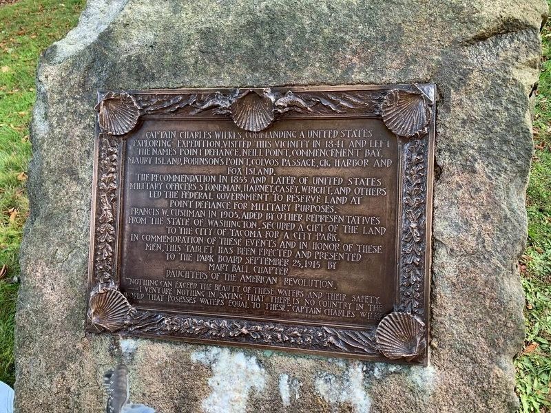
Captain Charles Wilkes, commanding a United States exploring expedition, visited this vicinity in 1841 and left the names Point Defiance, Neill Point, Commencement Bay, Maury Island, Robinson's Point, Colvos Passage, Gig Harbor and Fox Island.
The recommendation in 1855 and later of the United States military officers Stoneman, Harney, Casey, Wright and others led the Federal government to reserve land at Point Defiance for military purposes.
Francis W. Cushman in 1905, aided by other representatives from the State of Washington, secured a gift of the land to the City of Tacoma for a city park.
In commemoration of these events and in honor of these men, this tablet has been erected and presented to the Park Board September 25, 1915, by Mary Ball Chapter Daughters of the American Revolution.
"Nothing can exceed the beauty of these waters and their safety. I venture nothing in saying that there is no country in the world that possesses waters equal to these." — Captain Charles Wilkes
Erected 1915 by Mary Ball Chapter Daughters of the American Revolution (DAR).
Topics and series. This historical marker is listed
this page online
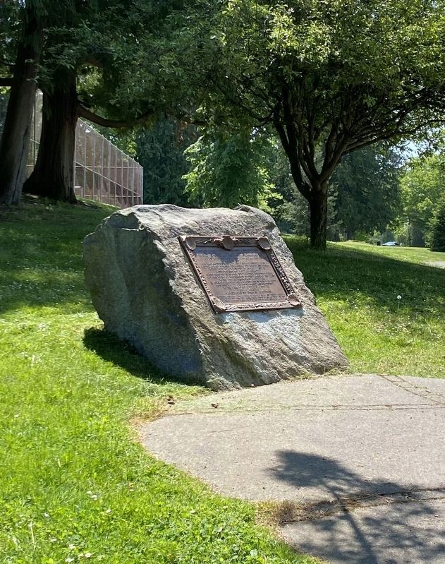
Location. 47° 18.336′ N, 122° 30.989′ W. Marker is in Tacoma, Washington, in Pierce County. It is in West End. It is on North Waterfront Drive north of Roberts Garden Drive, on the right when traveling north. It is between the Point Defiance Tennis Courts and the Point Defiance Park Pagoda, at the edge of the park's Japanese Garden. It is accessible next to the walking path, but cannot be seen from the Parking areas. Touch for map. Marker is in this post office area: Tacoma WA 98407, United States of America. Touch for directions.

Regionally, this marker is in the Puget Sound Region and in Greater Seattle. It is also on the American Pacific Coast, in the Pacific Northwest, and in the Lewis & Clark Corridor. Globally, it is in North America, in the Cascade Range, in the Inside Passage, on the Ring of Fire, in the Pacific Rim, in the Western Hemisphere, in the Western World, and in the Anglosphere.
Photographed by Renee Crist, May 19, 2023
2. Captain Charles Wilkes Marker
Other nearby markers. At least 8 other markers are within 3 miles of this marker, measured as the crow flies: Ten Inch Shell From U.S.S. Maine (within shouting distance of this marker); Fireboat No. 1: A Proud History (approx. 2.3 miles away); September 11th Memorial (approx. 2.4 miles away); Restoring the Site (approx. 2.9 miles away); People of the Water (approx. 2.9 miles away); Cutting Edge Technology (approx. 2.9 miles away); Dickman Mill Park (approx. 2.9 miles away); Top of the Ocean (approx. 3.1 miles away). Touch for a list and map of all markers in Tacoma.
Regarding Captain Charles Wilkes Expedition. Charles Wilkes (1798-1877) from 1838 to 1842 commanded a US Naval expedition that took him into the Antarctic Ocean and along the Antarctic barrier, where he reported land at a number of points in the region subsequently known as Wilkes Land. He visited islands in the Pacific, explored the West Coast of the United States and ended his exploration in New York in June 1842, having sailed completely around the world. He was advanced to the rank of commander in 1843.

Photographed by Shirley A Stirling, November 29, 2025
3. Captain Charles Wilkes Marker
The marker stone is pictured from the side on the far left, showing its location as near the Pagoda.
Credits. This page was last revised on July 8, 2026. It was originally submitted on April 16, 2023, by Renee Crist of Gig Harbor, Washington. This page has been viewed 329 times since then and 77 times this year. Last updated on July 7, 2026, by Renee Crist of Gig Harbor, Washington. Photos: 1. submitted on April 16, 2023, by Renee Crist of Gig Harbor, Washington. 2. submitted on May 21, 2023, by Renee Crist of Gig Harbor, Washington. 3. submitted on November 30, 2025, by Shirley A Stirling of Lacey, Washington. • Devry Becker Jones was the editor who published this page.
