Near South Bend in Pacific County, Washington — The American West (Northwest)
Bruceville-Bruceport

Photographed by Joel Seewald, September 1987
1. Bruceville-Bruceport Marker
The deserted site of a famous pioneer village, once a county seat, is one mile northward on Willapa Bay, formerly called Shoalwater Bay. The crew of the oyster schooner "Robert Bruce" settled here in December 1851 after that craft had burned. Crewmen built cabins, filed land claims, and named the settlement "Bruceville." It was changed to "Bruceport" in 1854. This site recalls the lively oyster industry of 1851-1880, when enormous quantities of native oysters were gathered by local Indians and loaded aboard schooners for San Francisco.
Erected by Washington State Parks and Recreation Commission and Washington State Department of Transportation.
Topics. This historical marker is listed in these topic lists: Indigenous Peoples and Communities • Industry & Commerce • Settlements & Settlers • Waterways & Vessels. A significant historical month for this entry is December 1851.
Location. Marker has been reported missing. It was located near 46° 39.864′ N, 123° 55.168′ W. Marker was near South Bend, Washington, in Pacific County. It was on U.S. 101 at milepost 46, 2.3 miles south of Bruceport County Park Road, on the
this page online

Regionally, this marker was in Southwest Washington State. It was also on the American Pacific Coast, in the Pacific Northwest, and in the Lewis & Clark Corridor. Globally, it was in North America, on the Ring of Fire, on the Pacific Rim, in the Western Hemisphere, in the Western World, and in the Anglosphere.
Other nearby markers. At least 5 other markers are within 10 miles of this location, measured as the crow flies: Pacific County Courthouse (approx. 5.2 miles away); Raymond Public Library (approx. 9.1 miles away); Oysterville Schoolhouse (approx. 9.7 miles away); Oysterville Courthouse (approx. 9.7 miles away); Oldest House in Oysterville (approx. 9.8 miles away).
More about this marker. The marker may have been removed; it did not appear in Google Street view in June 2024.
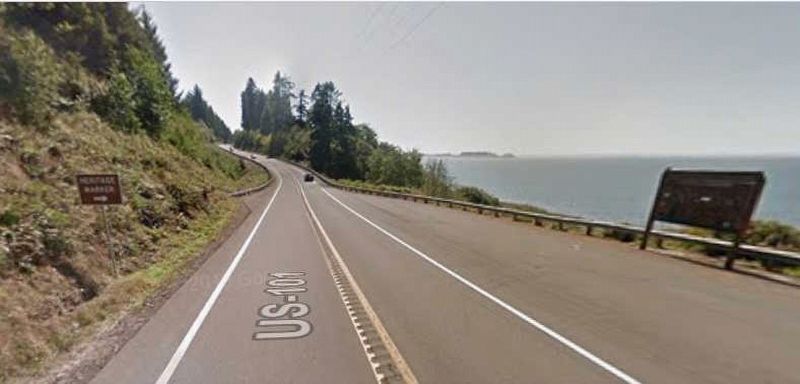
Image capture: Aug 2018 ©2026 Google
2. Bruceville-Bruceport Marker
Credits. This page was last revised on July 8, 2026. It was originally submitted on July 7, 2026, by Joel Seewald of Madison Heights, Michigan. This page has been viewed 21 times since then. Photos: 1, 2. submitted on July 7, 2026, by Joel Seewald of Madison Heights, Michigan.
