Near Holley in Orleans County, New York — The American Northeast (Mid-Atlantic)
Early Cemetery
Photographed by Bradley Owen, July 7, 2026
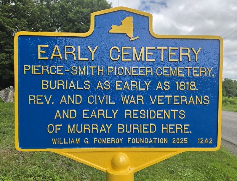
1. Early Cemetery Marker
Pierce-Smith Pioneer Cemetery, burials as early as 1818. Rev. and Civil War veterans and early residents of Murray buried here.
Erected 2025 by William G. Pomeroy Foundation. (Marker Number 1242.)
Topics and series. This historical marker is listed in these topic lists: Cemeteries & Burial Sites • Settlements & Settlers • War, US Civil • War, US Revolutionary. In addition, it is included in the William G. Pomeroy Foundation series list. A significant historical year for this entry is 1818.
Location. 43° 13.298′ N, 78° 3.978′ W. Marker is near Holley, New York, in Orleans County. It is on Hulberton Road (County Route 24) 0.3 miles south of Holley Road (New York State Route 31), on the right when traveling south. Touch for map. Marker is at or near this postal address: 4006 Hulberton Road, Holley NY 14470, United States of America. Touch for directions.

Regionally, this marker is in Upstate New York, specifically in Western New York, in the Finger Lakes, and in the Rochester Metropolitan Area. It is also in the American Northeast and in the Mid-Atlantic. Globally, it is in North America, on
this page online
Other nearby markers. At least 8 other markers are within 2 miles of this marker, measured as the crow flies: Patriot Burials (within shouting distance of this marker); Hillside Cemetery (approx. 1.8 miles away); V.F.W. Post 202 Memorial (approx. 1.9 miles away); 1837 Church (approx. 1.9 miles away); Herbert Taylor (approx. 1.9 miles away); Eastern Orleans Memorial Post 202 (approx. 1.9 miles away); Safe House / Brainard Home (approx. 2 miles away); Fancher WWII Memorial (approx. 2 miles away). Touch for a list and map of all markers in Holley.
Photographed by Bradley Owen, July 7, 2026
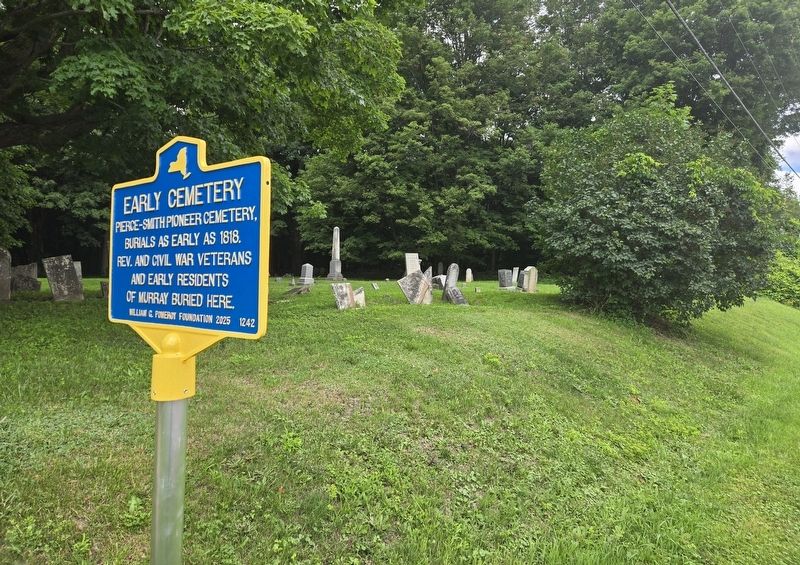
2. Early Cemetery Marker
Photographed by Bradley Owen, July 7, 2026
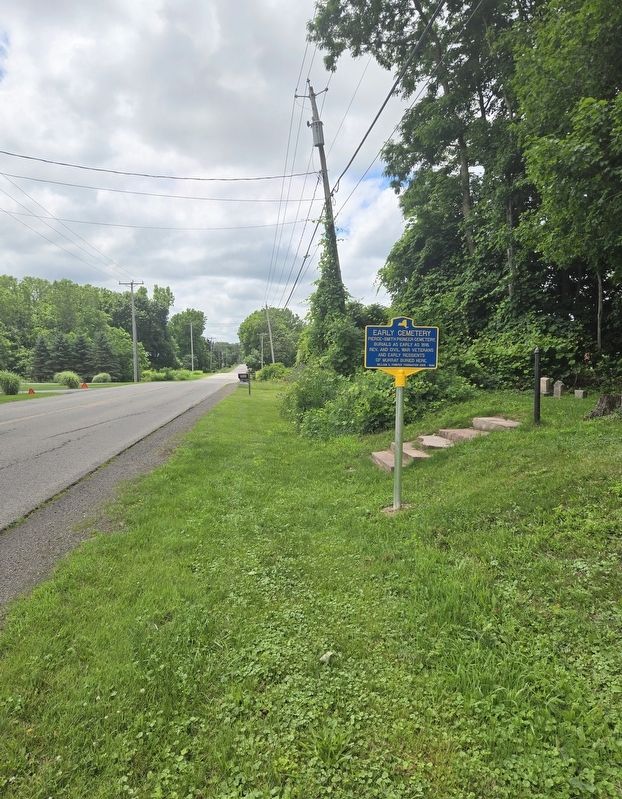
3. Early Cemetery Marker
View is looking south.
Credits. This page was last revised on July 9, 2026. It was originally submitted on July 9, 2026, by Bradley Owen of Morgantown, West Virginia. This page has been viewed 11 times since then. Photos: 1, 2, 3. submitted on July 9, 2026, by Bradley Owen of Morgantown, West Virginia.
