De Cocksdorp in Texel, North Holland, Netherlands — Northwestern Europe
Stengweg
Photographed by Andrew Ruppenstein, June 1, 2026
1. Stengweg Marker

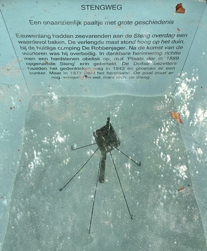
Eeuwenlang hadden zeevarenden aan de Steng overdag een waardevol baken. De verlengde mast stond hoog op het duin, bij de huidige camping De Robbenjager. Na de komst van de vuurtoren was hij overbodig. In dankbare herinnering richtte men een hardstenen obelisk op, met 'Plaats der in 1889 opgeruimde Steng' erin gebeiteld. De Duitse bezetters haalden het gedenkteken weg in 1943 en groeven er een bunker. Maar in 1973 verd het herplaatst. De paal staat er nog, verweerd en wel, maar toch: de Steng.
An unassuming post with a rich history
For centuries, seafarers relied on the 'Steng' as a valuable daytime beacon. This tall mast stood high on the dunes, near the site of the current De Robbenjager campsite. It became obsolete once the lighthouse was built. In grateful memory, a hardstone obelisk was erected, bearing the chiseled inscription: "Site of the Steng, removed in 1889." The German occupying forces removed the monument in 1943 to build a bunker, but it was reinstated in 1973. The post still stands there—weather-beaten, certainly,
this page online
Erected 2016.
Topics. This historical marker is listed in these topic lists: Man-Made Features • Waterways & Vessels. A significant historical year for this entry is 1889.
Location. 53° 9.444′ N, 4° 52.455′ E. Marker is in De Cocksdorp, Noord-Holland (North Holland), in Texel. It is on Kikkertstraat west of Stengweg, on the right when traveling east. Touch for map. Marker is at or near this postal address: Kikkertstraat 60, De Cocksdorp, Noord-Holland 1795 AE, Netherlands. Touch for directions.

Regionally, this marker is on the German Wadden Sea. Globally, it is in Europe, the European Union, Atlantic Europe, the Benelux Low Countries, the Schengen Area, Western Europe, and the Western World. Historically, it finds itself in what was once the Holy Roman Empire.
Other nearby markers. At least 8 other markers are within walking distance of this marker: De Cocksdorp - Kikkertstraat 59, Polderhuis (within shouting distance of this marker); De Cocksdorp openbare lagere school / De Cocksdorp Public Primary School (within shouting distance of this marker); De Posthoorn / The Post Horn (within
Photographed by Andrew Ruppenstein, June 1, 2026
2. Stengweg Marker - wide view
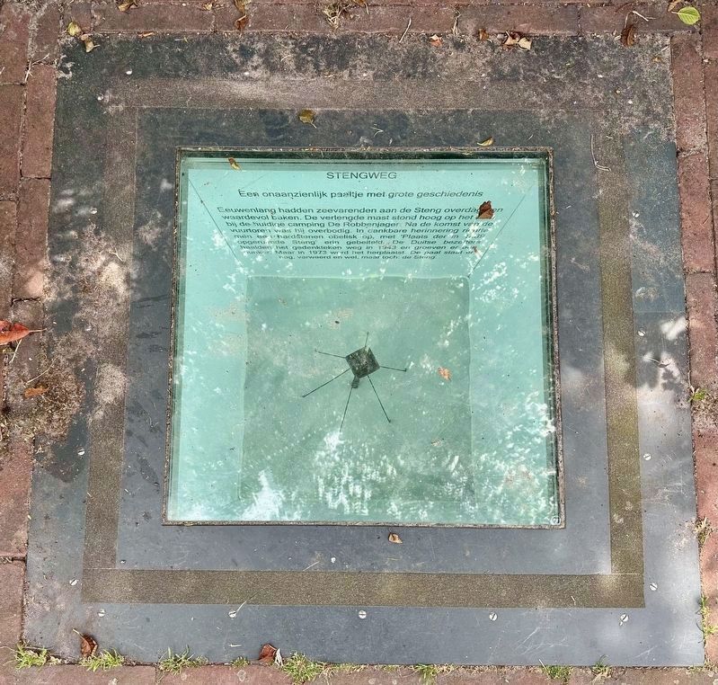
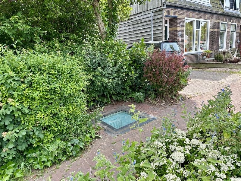
This is one of eight subterranean historical markers set into the sidewalk on the south side of Kikkertstraat.
Photographed by Andrew Ruppenstein, June 1, 2026
3. Stengweg Marker - wider view

Peter Cuyck, courtesy Noord-Hollands Archief (inventaris 5843), 1784
4. Eijerland House with the Steng
“ The so-called Eierlandse-Huys with the Steng—a beacon for seafarers—situated centrally on a dune, 1784. In the left foreground, a hay wagon is being unloaded; in front of it, three hunters with dogs. To the right, a horse and wagon loaded with jugs.”
Credits. This page was last revised on July 10, 2026. It was originally submitted on July 9, 2026, by Andrew Ruppenstein of Lamorinda, California. This page has been viewed 14 times since then. Photos: 1, 2, 3, 4. submitted on July 9, 2026, by Andrew Ruppenstein of Lamorinda, California.
