Manassas, Virginia — The American South (Mid-Atlantic)
Manassas
A Critical Junction

If you had been here in July 1861, you could have seen Confederate soldiers jumping down from one train after another at the junction half a mile in front of you. The trains were bringing Gen. Joseph E. Johnston's army from the Shenandoah Valley on the Manassas Gap Railroad to join Gen. P.G.T. Beauregard's army here at Manassas Junction. They arrived just in time to tip the balance of battle.
A small collection of railroad shops, a telegraph office, a hotel, and a few farms were clustered around the junction. The few residents' lives revolved more around the rhythm of the seasons than the train schedule. One-third of Prince William County's population was enslaved—men, women, and children whose labor brought comfort and profit to their owners. Except for the occasional train, life here was quiet.
With war, that all changed as the rail lines that intersected here made Manassas strategically important. The Orange & Alexandria Railroad linked Manassas by roundabout route to Richmond and also offered the Union army a promising avenue of advance into Virginia from Washington, D.C. The Manassas Gap Railroad connected
this page online
[Captions:]
One of the earliest known photographs of Manassas Junction, taken shortly after the Confederates burned the place and evacuated on March 8-9, 1862, shows the Union troops surveying the damage.
This pencil and watercolor drawing depicts Confederate reinforcements arriving in Manassas on July 21, 1861, the first time in history that troops were transported to battle by train.
Erected by Virginia Civil War Trails.
Topics and series. This historical marker is listed in these topic lists: Railroads & Streetcars • Settlements & Settlers • War, US Civil. In addition, it is included in the Orange and Alexandria Railroad, and the Virginia Civil War Trails series lists. A significant historical date for this entry is July 21, 1861.
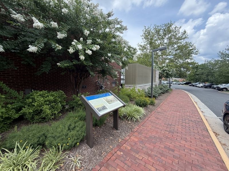
Location. 38° 44.918′ N, 77° 28.303′ W. Marker is in Manassas, Virginia. It can be reached from Prince William Street west of Main Street, on the right when traveling east. Touch for map. Marker is at or near this postal address: 9101 Prince William St, Manassas VA 20110, United States of

Regionally, this marker is in the Washington Metropolitan Area and in Northern Virginia. It is also in the American South, specifically in the Upper South, and in the Mid-Atlantic. Globally, it is in North America, the Western Hemisphere, the Western World, and the Anglosphere. Historically, it finds itself in what was once the territory of the Mississippian Culture, one of the original Thirteen Colonies, one of the Confederate States of America, and the Antebellum South.
Other nearby markers. At least 8 other markers are within walking distance of this marker: War on the Landscape (a few steps from this marker); The Museum Garden (within shouting distance of this marker); Manassas Veterans Memorial (within shouting distance of this marker); a different marker also named Wartime Manassas (about 300 feet away, measured in a direct line); Occupation or Liberation (about 400 feet away); Liberty Street / First African-American School (about 400 feet away); Burning of Manassas (about 500 feet away); Jackson's Raid (about 500 feet away). Touch for a list and map of all markers in Manassas.
Other markers no longer nearby. Wartime Manassas (was a few steps from this marker but has been replaced with another marker now near it); The Manassas Museum (was a few steps from this marker but has been replaced with another marker now near it); a different marker also named Manassas (was a few steps from this marker but has been replaced with another marker now near it); a different marker also named War on the Landscape (was a few steps from this marker but has been replaced with another marker now near it); Manassas 1905 - The Great Fire (was about 500 feet away but has been permanently removed).
Related marker. Click here for another marker that is related to this marker. This marker has replaced the linked marker. The main difference is the difference in attributed date on the second photo caption.
Credits. This page was last revised on July 11, 2026. It was originally submitted on July 11, 2026, by Devry Becker Jones of Washington, District of Columbia. This page has been viewed 23 times since then. Photos: 1, 2. submitted on July 11, 2026, by Devry Becker Jones of Washington, District of Columbia.
