Manassas, Virginia — The American South (Mid-Atlantic)
War on the Landscape
1861
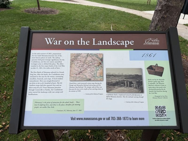
In the early summer of 1861, preparations for war made Manassas Junction one of the most famous places on earth. The railway junction held great strategic significance for the Confederacy, and the new nation assembled its largest army to defend this place. The effort resulted in the first major battle of the Civil War on July 21, 1861, five miles north of here.
The First Battle of Manassas ushered in a brutal, long war. After the battle, the Confederate army remained in the area for the winter, consuming woodlots, livestock, and crops. A local resident remembered, There was enough firewood on our farm to last us for hundreds of years. But the Southern troops had their quarters here and cut down every bit of it. From Manassas Junction through Centreville to Fairfax, the Confederate army scarred the landscape with vast camps and fortifications.
[Manassas] is the point of attraction for the whole South… There must be fighting here, and [this] is the place, therefore, for meeting people, not unlike New York.
— Charleston [SC] Mercury, June 27, 1861
[Captions:]
Detail from a mid-nineteenth cnetury map showing the Orange and Alexandria Railroad intersecting with the Manassas Gap Railroad intersecting with the Manassas Gap Railroad. The strategic value of these two lines put the area in the crossfire of two warring armies in the summer of 1861.
—Courtesy of the Library of Congress
Confederates built a complicated network of fortifications to defend Manassas Junction. Note the railroad running through the image.
—Courtesy of the Library of Congress
Basket used by the Marsteller family to gather eggs, fruits or vegetables. The Manassas Museum's collection is home to many objects that speak to the farming life practiced by the families that lived here during the Civil War.
—Photograph by Don Flory, Manassas Museum Collection
Erected by City
this page online
Topics and series. This historical marker is listed in these topic lists: Railroads & Streetcars • War, US Civil. In addition, it is included in the Orange and Alexandria Railroad, and the Virginia, City of Manassas series lists. A significant historical date for this entry is June 27, 1861.
Location. 38° 44.928′ N, 77° 28.296′ W. Marker is in Manassas, Virginia. It can be reached from Prince William Street west of Main Street, on the right when traveling east. Touch for map. Marker is at or near this postal address: 9101 Prince William St, Manassas VA 20110, United States of America. Touch for directions.

Regionally, this marker is in the Washington Metropolitan Area and in Northern Virginia. It is also in the American South, specifically in the Upper South, and in the Mid-Atlantic. Globally, it is in North America, the Western Hemisphere, the Western World, and the Anglosphere. Historically, it finds itself in what was once the territory of the Mississippian Culture, one of the original Thirteen Colonies, one of the Confederate States of America, and the Antebellum South.
Other nearby markers. At

Other markers no longer nearby. The Manassas Museum (was here, next to this marker but has been replaced with another marker now near it); Manassas (was here, next to this marker but has been replaced with another marker now near it); a different marker also named War on the Landscape (has been replaced with this marker); Wartime Manassas (was here, next to this marker but has been replaced with another marker now near it); Manassas 1905 - The Great Fire (was about 400 feet away but has been permanently removed).
Related marker. Click here for another marker that is related to this marker. This marker has replaced the linked marker. There are slight differences in the inscriptions.
Credits. This page was last revised on July 11, 2026. It was originally submitted on July 11, 2026, by Devry Becker Jones of Washington, District of Columbia. This page has been viewed 19 times since then. Photos: 1, 2. submitted on July 11, 2026, by Devry Becker Jones of Washington, District of Columbia.
