Cobalt in Timiskaming District, Ontario — Central Canada (North America)
Cart Lake
| — | Heritage Silver Trail Site #5 | — |
Photographed by Cosmos Mariner, June 2, 2022
1. Cart Lake Marker
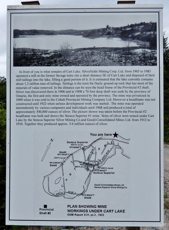
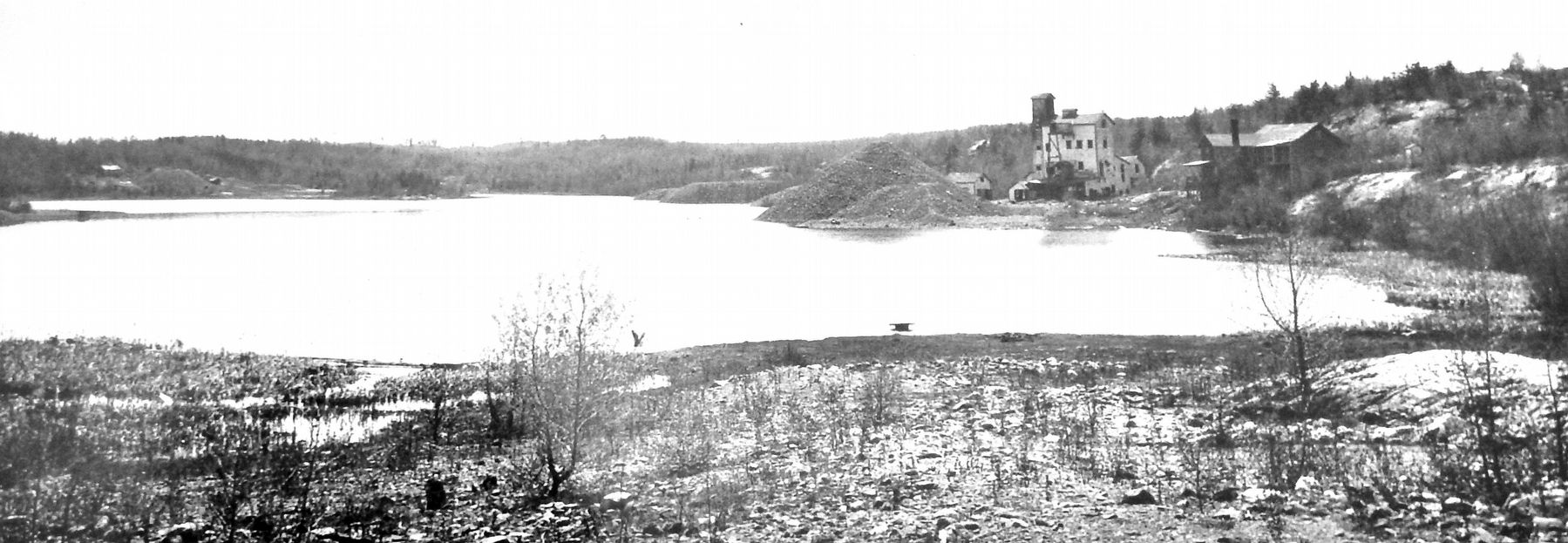
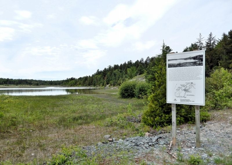
In front of you is what remains of Cart Lake. Silverfields Mining Corp. Ltd. from 1965 to 1983 operated a mill at the former Savage mine site a short distance SE of Cart Lake and disposed of their mill tailings into the lake, filling a good portion of it. It is estimated that the lake currently contains about 1.2 million tons of tailings. Tailings is the term for finely ground up rock that has most of the minerals of value removed. In the distance can be seen the head frame of the Provincial #2 shaft. Silver was discovered there in 1906 and in 1908 a 70-foot-deep shaft was sunk by the province of Ontario, the first and only mine owned and operated by the province. The mine was privatized in 1909 when it was sold to the Cobalt Provincial Mining Company Ltd. However, a headframe was not constructed until 1922 when serious development work was started. The mine was operated intermittently by various companies and individuals until 1968 and produced a total of approximately 300,000 ounces of silver. The picture shown was taken before the Provincial #2 headframe was built and shows the Seneca Superior #1 mine. Veins of silver
this page online
Erected by Cobalt Historical Society.
Topics. This historical marker is listed in these topic lists: Environment • Industry & Commerce. A significant historical year for this entry is 1965.
Location. 47° 23.029′ N, 79° 41.017′ W. Marker is in Cobalt, Ontario, in Timiskaming District. It can be reached from Coleman Road 1.5 kilometers south of Provincial Highway 11B, on the right when traveling south. The marker is near the Cart Lake Tailings Site, Heritage Silver Trail Site 5, just west of Coleman Road. Touch for map. Marker is in this post office area: Cobalt ON P0J 1C0, Canada. Touch for directions.

Regionally, this marker is in Northeastern Ontario and specifically in Northern Ontario. It is also in Central Canada. Globally, it is in North America, the Great North Woods, the Western Hemisphere, the Western World, and the Anglosphere. Historically, it finds itself in what was once a British colony, the Viceroyalty of New France,
/
2. Marker detail: Cart Lake
Other nearby markers. At least 8 other markers are within walking distance of this marker: Nipissing Vein No. 96 (approx. 0.2 kilometers away); Tunnel to Riches (approx. 0.4 kilometers away); Cobalt Lake Mine (approx. 0.6 kilometers away); Early Prospecting Techniques (approx. 0.6 kilometers away); Nipissing High Grade Mill (approx. 0.6 kilometers away); The McKinley-Darragh Story (approx. 0.8 kilometers away); Tri-town Trolleys (approx. 0.8 kilometers away); Townsite #1 Shaft / Le puits n°1 de la mine Townsite (approx. 1.1 kilometers away). Touch for a list and map of all markers in Cobalt.
Also see . . . Cart Lake Tailings Lookout (Cobalt Historical Society).
Excerpt: This lookout provides a view of a tailings pond that was once Cart Lake. The tailings are mostly from the Silverfields Mill and the Summit Mine which used to be on the Silverfields Road, across the lake. This mill and shaft were operated by Teck Corporation from 1968 to 1983. The Summit shaft was originally part of the Savage claim and owned by the McKinley Darragh Savage Company. Ore from(Submitted on July 14, 2026, by Cosmos Mariner of Cape Canaveral, Florida.)this shaft was shipped to the McKinley Darragh Mill (Site #3) via aerial tramway from 1907 to 1928.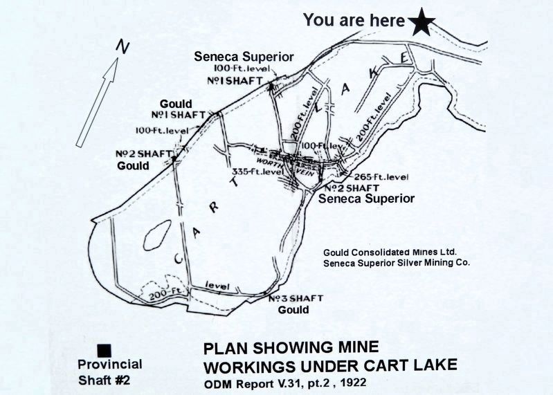 3. Marker detail: Plan of Mine Workings Under Cart Lake
Looking to the southwest you will see a rusty headframe on the south shore of Cart Lake. This property is the Provincial #2 shaft and was originally owned and operated by the Ontario government from 1906 to 1909. At this point the government recognized its limited expertise in mining and sold the property to the Cobalt Provincial Mining Company, and reaped the benefits of royalties on production that continued to 1924. The Provincial #2 Shaft reached a depth of 350 feet and produced 287,000 ounces of silver, 54,000 pounds of cobalt and 2,800 pounds of nickel.
Photographed by Cosmos Mariner, June 2, 2022
4. Cart Lake Marker
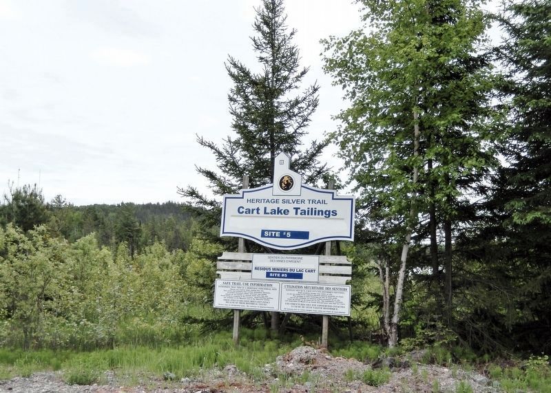
Photographed by Cosmos Mariner, June 2, 2022
5. Cart Lake Tailings — Heritage Silver Trail Site #5
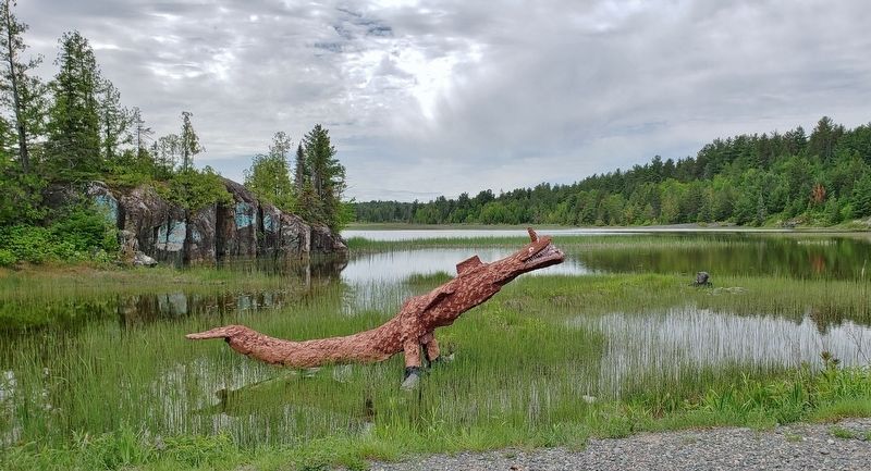
Photographed by Cosmos Mariner, June 2, 2022
6. Cart Lake "Nessie"
What’s a lake without a mythical resident?
Credits. This page was last revised on July 14, 2026. It was originally submitted on July 13, 2026, by Cosmos Mariner of Cape Canaveral, Florida. This page has been viewed 18 times since then. Photos: 1, 2, 3, 4, 5, 6. submitted on July 14, 2026, by Cosmos Mariner of Cape Canaveral, Florida.
