
Near Lynch Station in Campbell County, Virginia — The American South (Mid-Atlantic)
Mount Airy

Photographed by Tom Bosse, July 5, 2026
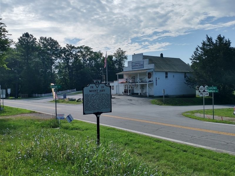
1. Mount Airy Marker
Erected 2017 by Virginia Department of Historic Resources. (Marker Number FR 29.)
Topics. This historical marker is listed in these topic lists: Architecture • Colonial Era • War, French and Indian • War, US Revolutionary. A significant historical year for this entry is 1800.
Location. 37° 7.125′ N, 79° 23.26′ W. Marker is near Lynch Station, Virginia, in Campbell County. It is at the intersection of Bedford Highway (Virginia Route
this page online

Regionally, this marker is in the Piedmont and in Central Virginia. It is also in the American South and specifically in the Upper South. Globally, it is in North America, the Western Hemisphere, the Western World, and the Anglosphere. Historically, it finds itself in what was once the territory of the Mississippian Culture, one of the original Thirteen Colonies, one of the Confederate States of America, and the Antebellum South.
Other nearby markers. At least 8 other markers are within 6 miles of this marker, measured as the crow flies: Bedford County / Campbell County (approx. 0.8 miles away); Welcome to Wayside Park (approx. 4.1 miles away); a different marker also named Welcome to Wayside Park (approx. 4.1 miles away); a different marker also named Welcome to Wayside Park (approx. 4.3 miles away); Clement Hill (approx. 4.9 miles away); Founding the Town of Hurt (approx. 5.2 miles away); Pittsylvania County / Campbell County
Photographed by Tom Bosse, July 5, 2026
2. Mount Airy Marker
Related markers. Click here for a list of markers that are related to this marker.
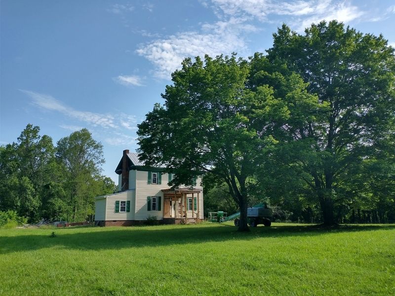
Photographed by Tom Bosse, July 5, 2026
3. Mount Airy
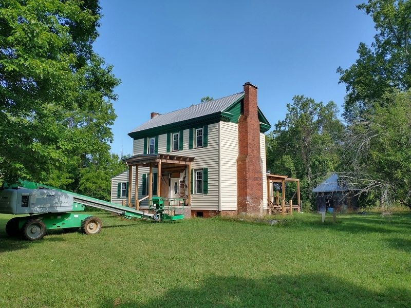
Photographed by Tom Bosse, July 5, 2026
4. Mount Airy

Photographed by Tom Bosse, July 5, 2026
5. Capt. Thomas Leftwich Grave (foreground), Brig. Gen. Joel Leftwich Grave (background)

Photographed by Tom Bosse, July 5, 2026
6. Brig. Gen. Joel Leftwich Grave
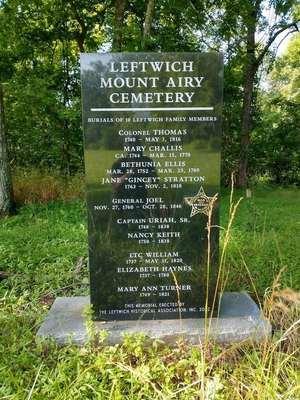
Photographed by Tom Bosse, July 5, 2026
7. Leftwich Mount Airy Cemetery
Credits. This page was last revised on July 30, 2026. It was originally submitted on July 14, 2026, by Tom Bosse of Jefferson City, Tennessee. This page has been viewed 21 times since then. Photos: 1, 2, 3, 4, 5, 6. submitted on July 14, 2026, by Tom Bosse of Jefferson City, Tennessee. 7. submitted on July 20, 2026, by Tom Bosse of Jefferson City, Tennessee. • Bernard Fisher was the editor who published this page.
