Hopewell Township in Mercer County, New Jersey — The American Northeast (Mid-Atlantic)
Watershed Reserve
| — | Lawrence Hopewell Trail | — |
Photographed by Richard Peterson, July 12, 2026
1. Welcome to the Watershed Reserve Marker
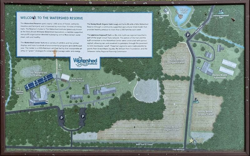
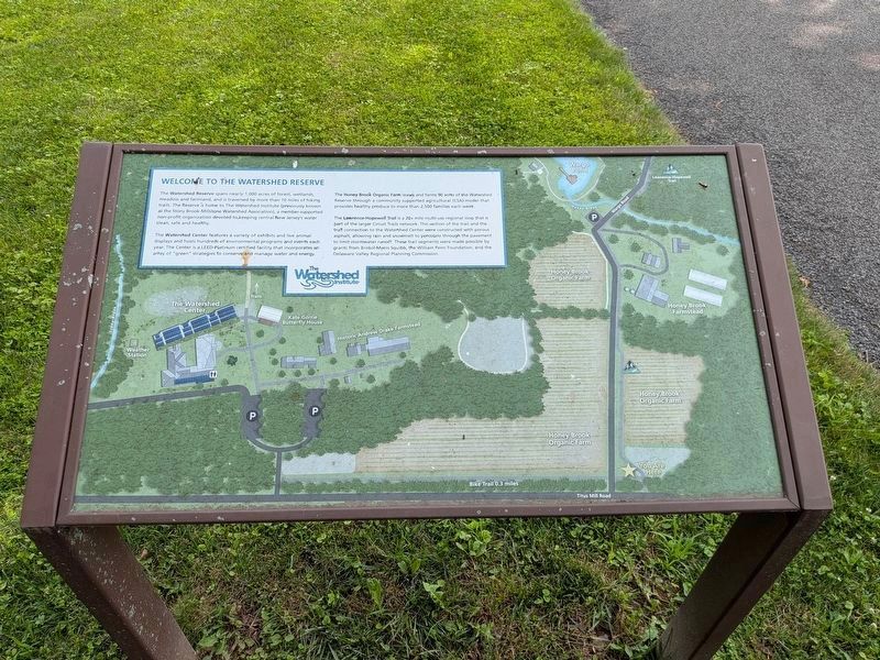
The Watershed Reserve spans nearly 1,000 acres of forest, wetlands, meadow and farmland, and is traversed by more than 10 miles of hiking trails. The Reserve is home to The Watershed Institute (previously known as the Stony Brook-Millstone Watershed Association), a member-supported non-profit organization devoted to keeping central New Jersey's water clean, safe and healthy.
The Watershed Center features a variety of exhibits and live animal displays and hosts hundreds of environmental programs and events each year. The Center is a LEED-Platinum certified facility that incorporates an array of “green strategies” to conserve and manage water and energy.
The Honey Brook Organic Farm leases and farms 90 acres of the Watershed Reserve through a community supported agricultural (CSA) model that provides healthy produce to more than 2,500 families each week.
The Lawrence-Hopewell Trail is a 20+ mile multi-use regional loop that is part of the larger Circuit Trails network. This section of the trail and the trail connection to the Watershed Center were constructed with porous asphalt, allowing rain and snowmelt to percolate
this page online
Topics. This historical marker is listed in these topic lists: Agriculture • Environment.
Location. 40° 20.97′ N, 74° 45.959′ W.
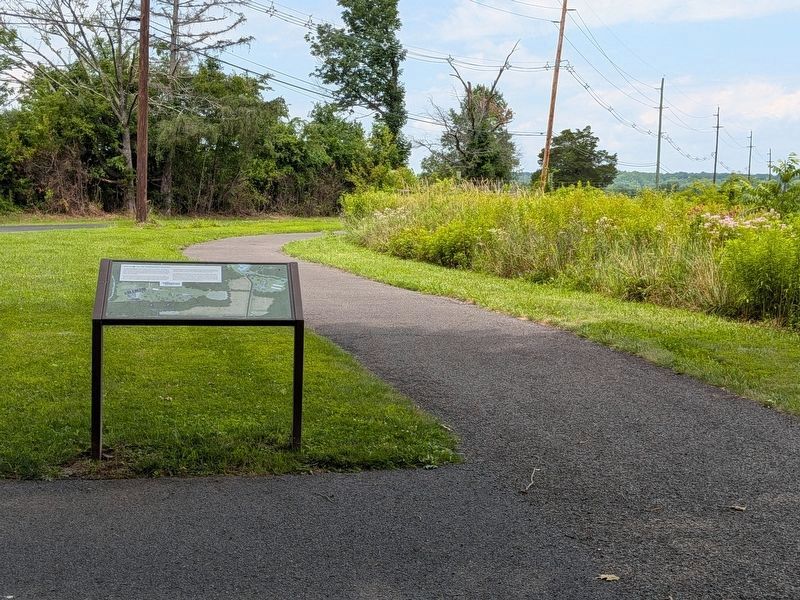
 Marker is in Hopewell Township, New Jersey, in Mercer County. It is at the intersection of Titus Mill Road and Wargo Road, on the right when traveling west on Titus Mill Road. Located on the Lawrence Hopewell Trail. Touch for map. Marker is in this post office area: Hopewell NJ 08525, United States of America. Touch for directions.
Regionally, this marker is in Central Jersey and in Greater Princeton. It is also in the American Northeast and in the Mid-Atlantic. Globally, it is in North America, the Western Hemisphere, the Western World, and the Anglosphere. Historically, it finds itself in what was once New Netherland and also one of the original Thirteen Colonies.
Other nearby markers. At least 8 other markers are within 2 miles
Photographed by Richard Peterson, July 12, 2026
2. Watershed Reserve Marker
Also see . . .
1. The Watershed Institute.
The Watershed Center is located on the Watershed Reserve in Hopewell Township, Mercer County, N.J. ... More than 10 miles of hiking trails wind through these habitats and pass by two historic farmsteads that date back to the 18th and 19th centuries.(Submitted on July 15, 2026, by Richard Peterson of East Windsor, New Jersey.)
2. Map of Lawrence Hopewell Trail. (Submitted on July 15, 2026, by Richard Peterson of East Windsor, New Jersey.)
3. The Watershed Institute (Wikipedia). (Submitted on July 18, 2026, by Michael Herrick of Southbury, Connecticut.)
Photographed by Richard Peterson, July 12, 2026
3. Watershed Reserve Marker
Credits. This page was last revised on July 18, 2026. It was originally submitted on July 15, 2026, by Richard Peterson of East Windsor, New Jersey. This page has been viewed 16 times since then. Photos: 1, 2, 3. submitted on July 15, 2026, by Richard Peterson of East Windsor, New Jersey. • Michael Herrick was the editor who published this page.
