Manfred in Wells County, North Dakota — The American Midwest (Upper Plains)
Manfred Lake on the James River
An Authentic Settlers' Community Celebrating Rural America
Photographed by Cosmos Mariner, June 28, 2024
1. Manfred Lake on the James River Marker
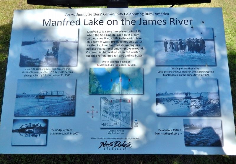
Manfred Lake came into existence in 1893 when the Soo Line Railroad built a dam on the James River, a little to the east of here. This body of water provided not only water for the Soo Line Railroad steam engines but also recreational enjoyment year-round. Commercial harvest of ice in the winter supplied refrigerated rail cars and ice boxes.
[photo captions]
• L to R: S.N. Willborg, Mrs. Olaf Tansem and Mr. Olaf Tansem, and Mrs. C.T. Lee with her son photographed by C.T. Lee on June 11, 1900
• The bridge of steel at Manfred, built in 1907
• Skating on Manfred Lake: local skaters and two children with a sled enjoying Manfred Lake on the James River in 1909
• Dam - before 1910
• Dam – spring of 1941
Topics. This historical marker is listed in these topic lists: Industry & Commerce • Parks & Recreational Areas • Railroads & Streetcars • Waterways & Vessels. A significant historical year for this entry is 1893.
Location. 47° 41.689′ N, 99° 44.877′ W. Marker is in Manfred, North Dakota, in Wells County. It is on Lake View Drive (Lake Avenue) (County Road 4) just south of Le Grand Street, on the
this page online

Regionally, this marker is in the Drift Prairie. It is also in the American Lewis & Clark Corridor, on the prairies, and on the Northern Plains. Globally, it is in North America, the Western Hemisphere, the Western World, and the Anglosphere. Historically, it finds itself in what was once Rupert’s Land and also the Louisiana Purchase.
Other nearby markers. At least 8 other markers are within walking distance of this marker: Lake Avenue Neighborhood (here, next to this marker); Soo Line Railroad at Manfred (about 300 feet away, measured in a direct line); West Side of Main Avenue (about 300 feet away); Central Office and Neighborhood (about 300 feet away); East Side of Main Avenue (about 300 feet away); Le Grand's Addition (about 400 feet away); Historic Manfred — Then and Now (about 400 feet away); The Elevators of Manfred (about 400 feet away). Touch for a list and map of all markers in Manfred.
Courtesy Manfred Heritage Museum
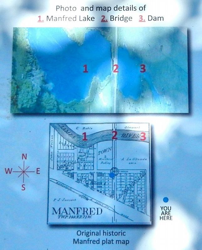
2. Marker detail: Map of Manfred Lake, Bridge and Dam locations
Photographed by Cosmos Mariner, June 28, 2024
3. Manfred Lake on the James River Marker
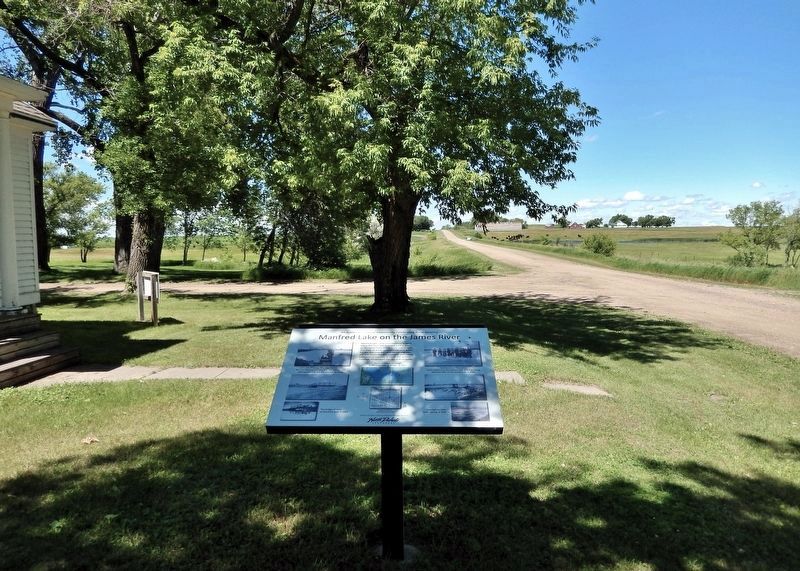
Looking north along Lake View Drive (Lake Avenue) (County Road 4). Le Grand Street crosses in the background. The river, dam and lake are about 1/10 mile north on County Road 4.
Photographed by Cosmos Mariner, June 28, 2024
4. Manfred Lake on the James River Marker
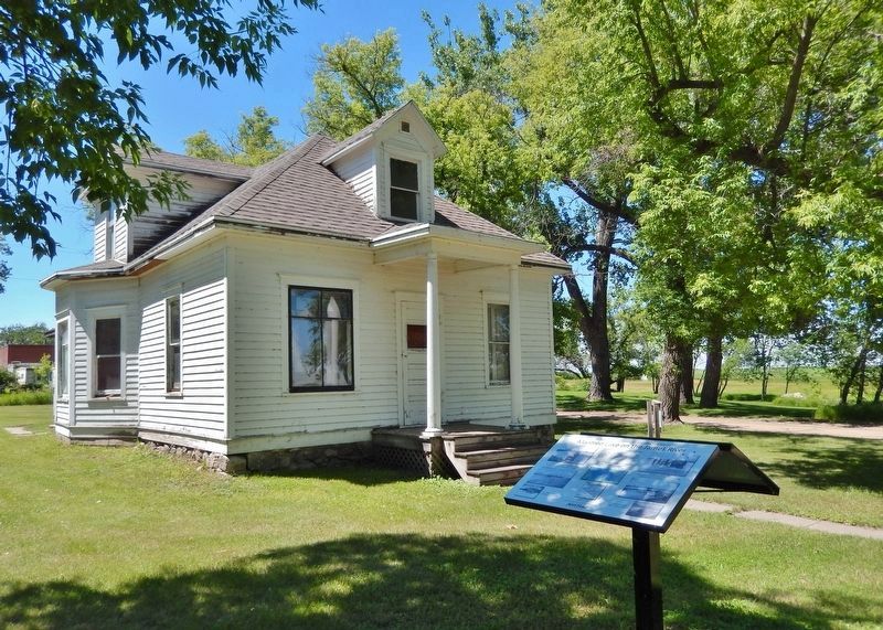
Looking northeast from Lake View Drive (Lake Avenue) (County Road 4). The Johnson-Jacobson-Ostrem House (built 1905) is in the background.
Credits. This page was last revised on July 18, 2026. It was originally submitted on July 15, 2026, by Cosmos Mariner of Cape Canaveral, Florida. This page has been viewed 14 times since then. Photos: 1, 2, 3, 4. submitted on July 18, 2026, by Cosmos Mariner of Cape Canaveral, Florida.
