
North End in Boise in Ada County, Idaho — The American West (Mountains)
The Route of the Oregon Trail in Boise

Photographed by Douglass Halvorsen, July 2, 2026
1. The Route of the Oregon Trail in Boise Marker
Oregon Trail Memorial
This is the historic pathway of the Oregon Trail through the city of Boise. Follow the footsteps of Native Americans, fur traders, pioneers, soldiers, and entrepreneurs, from our past to our future and discover Boise City’s beginnings.
North panel of monument
Exploring the Oregon Trail in Boise
In the second half of the 19th century, thousands of emigrants traveled west on the Oregon Trail. The route came through southern Idaho and what later became the City of Boise.
Boise’s Oregon Trail monuments can be found throughout Boise, from Hill Rd. to Highway 21. Locations are marked with a [monument] symbol on the drawing at the left.
East panel of monument
Boise: a city along the Trail
Old Fort Boise was orginally built (near current day Parma) as a fur trading fort by the British Hudson's Bay Company. By the 1840's, the fur trade was declining and the emigrants were increasing. The fort served the wagon trains throughout the 40s but floods continually plagued the area, and by 1855 old Fort Boise was gone.
Eight years later, a new Fort Boise was built 50 miles
this page online
[Acknowledgements]
South panel of monument
Slaughterhouse Gulch
Welcome to Hill Road
Near this street and traversing the foothills, along what is now Hill Road, emigrants, packers and miners traveled as they crossed the Boise Valley to connect with the emigrant trails north and west of Eagle.
This area north of Harrison Boulevard became known as "Slaughterhouse Gulch", the name taken from the meat packing businesses that were located here for many years. In 1901, Idaho Provision and Packing Company was organized here, just outside city limits. In addition to the slaughterhouse, a brick manufacturing facility and kiln was established which produced fired bricks for many of Boise's early buildings. Following World War II, this area was subdivided and houses were constructed.
Topics and series. This historical marker

Photographed by Douglass Halvorsen, July 2, 2026
2. The Route of the Oregon Trail in Boise Marker
Location. 43° 38.304′ N, 116° 12.341′ W. Marker is in Boise, Idaho, in Ada County. It is in North End. It is on North 15th Street, on the right when traveling north. The marker is located on the western edge of Dewey Park. Touch for map. Marker is at or near this postal address: 2150 N 15th Street, Boise ID 83702, United States of America. Touch for directions.

Regionally, this marker is on Idaho’s Snake River Plain. It is also in the American Mountain West. Globally, it is in North America, the Western Hemisphere, the Western World, and the Anglosphere.
Other nearby markers. At least 8 other markers are within walking distance of this marker: Washington Elementary (approx. 0.4 miles away); Historic North End Neighborhood Groceries (approx. half a mile away); a different marker also named Historic North End Neighborhood Groceries (approx. 0.6 miles away); Longfellow Elementary

Photographed by Douglass Halvorsen, July 2, 2026
3. The Route of the Oregon Trail in Boise Marker
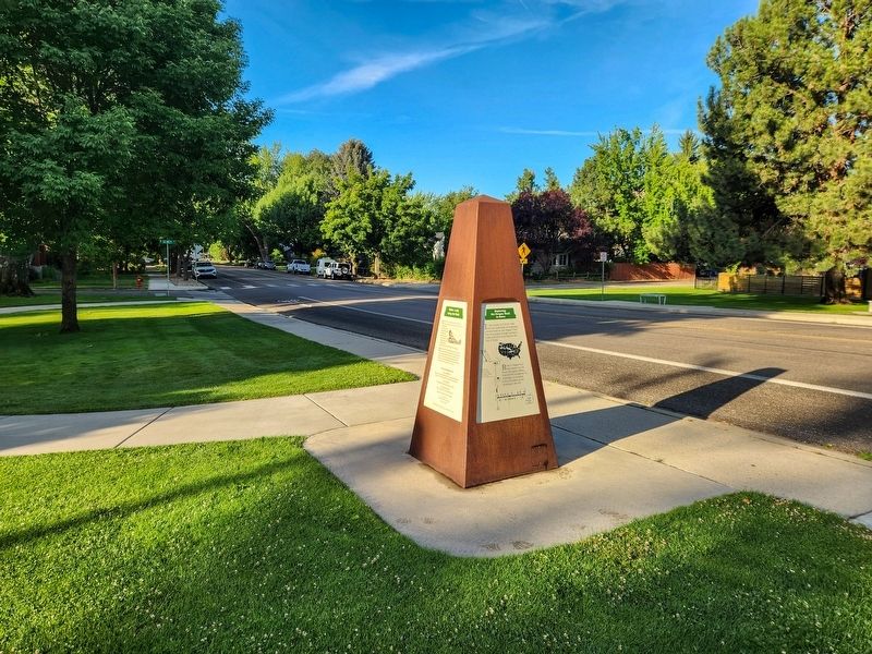
Photographed by Douglass Halvorsen, July 2, 2026
4. The Route of the Oregon Trail in Boise Marker
View of monument looking south along S 15th Street.

Photographed by Douglass Halvorsen, July 2, 2026
5. The Route of the Oregon Trail in Boise Marker
View of monument looking north along S 15th Street towards Hill Rd.
Credits. This page was last revised on July 16, 2026. It was originally submitted on July 15, 2026, by Douglass Halvorsen of Klamath Falls, Oregon. This page has been viewed 26 times since then. Photos: 1, 2, 3, 4, 5. submitted on July 15, 2026, by Douglass Halvorsen of Klamath Falls, Oregon. • Andrew Ruppenstein was the editor who published this page.
