Chestertown in Kent County, Maryland — The American Northeast (Mid-Atlantic)
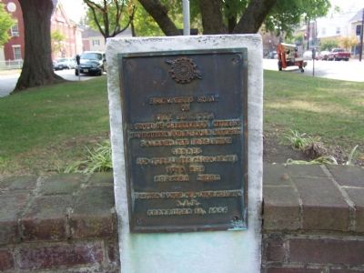
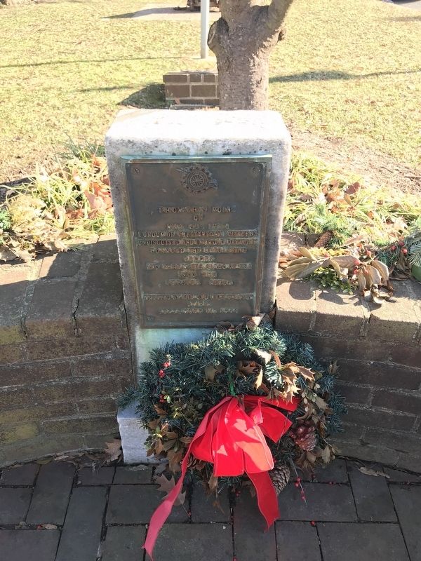
From This Point
on
May 23, 1774
a group of Chestertown citizens
undisguised and in broad daylight
boarded the brigantine
Geddes
and threw its cargo of tea
into the
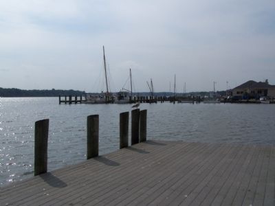
Chester River.
Erected by Old Kent Chapter, Daughters of the American Revolution.
Topics and series. This historical marker is listed in these topic lists: Colonial Era • Notable Events • Patriots & Patriotism. In addition, it is included in the Daughters of the American Revolution series list. A significant historical month for this entry is May 1706.
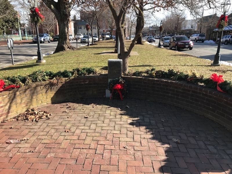
Location. 39° 12.546′ N, 76° 3.978′ W. Marker is in Chestertown, Maryland, in Kent County. Marker is at the intersection of North Cross Street (Maryland Route 289) and High Street, on the left on North Cross Street. Touch for map. Marker is at or near this postal address: 100 North Cross Street, Chestertown MD 21620, United States of America. Touch for directions.
Other nearby markers. At least 8 other markers are within walking distance of this marker. Chestertown, Maryland (here, next to this marker); Desert Storm Memorial (here, next to this marker); Revolutionary Cannon (here, next to this marker); This Monument Honors the Area Veterans (a few steps from this marker); In This Church (a few steps from this marker); In Memory of More Than 400 Prominent United States Colored Troops from Kent County (a few steps from this marker); Chestertown Vol. Fire Co. (within shouting distance of this marker); White & Black, Blue & Gray (within shouting distance of this marker). Touch for a list and map of all markers in Chestertown.
Also see . . . Chester Town Tea Party - Wikipedia. (Submitted on March 17, 2008, by Bill Pfingsten of Bel Air, Maryland.)
Credits. This page was last revised on January 19, 2022. It was originally submitted on October 19, 2007, by Bill Pfingsten of Bel Air, Maryland. This page has been viewed 1,321 times since then and 11 times this year. Photos: 1. submitted on October 19, 2007, by Bill Pfingsten of Bel Air, Maryland. 2, 3. submitted on January 10, 2022, by Adam Margolis of Mission Viejo, California. 4, 5. submitted on October 19, 2007, by Bill Pfingsten of Bel Air, Maryland. • J. J. Prats was the editor who published this page.
