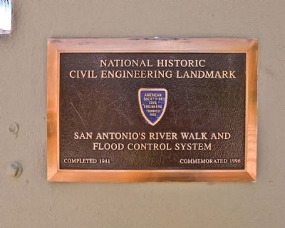
Main/Military Plaza in San Antonio in Bexar County, Texas — The American South (West South Central)
San Antonio River Walk
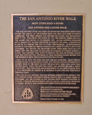
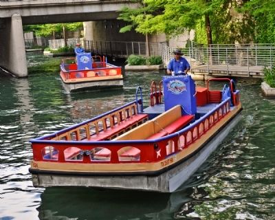
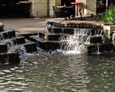
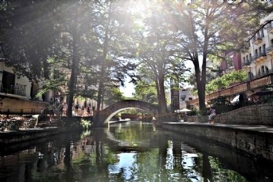
San Antonio has a river walk.
The San Antonio river has been an important resource since long before the arrival of the Spanish when the area was home to Native Americans. The first mission, San Antonio de Valero, was established here in 1718. Following the flood of 1724, the mission, which we call the Alamo, was moved to its present site. As San Antonio expanded into a major city, floods continued to disrupt the area. A Downtown flood in 1913 forced the city to study the problem. An engineering report in 1920 forecast serious damage and losses of life if a big flood occurred. 1921 proved the engineers right, when more than 50 lives were lost and millions of dollars of damage occurred during a flood. San Antonio took steps to reduce the risk of floods; Olmos Dam was constructed upstream to trap incoming flood waters and the horseshoe bend through downtown was cut off.
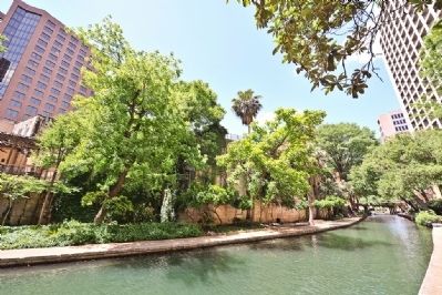
What to do with the bend became the big question. Many people wanted to fill it in and pave it over. But the San Antonio Conservation Society took up the fight to save the beautiful tree lined bend that we now enjoy. Once the bend was saved, San Antonio became a truly unique city. Beautification and development of the bend started with a plan proposed by Robert H.H. Hugman in 1927 and has continued through today.
The City of San Antonio, the San Antonio Conservation Society, the San Antonio River Authority, Bexar County, the U.S. Army Corps of Engineers, and the Citizens of San Antonio have worked together to create a unique environment and to solve a geologic problem flooding. Without this cooperation, there would be no river walk.
Erected 1993 by Association of Engineering Geologists.
Topics. This historical marker is listed in these topic lists: Bridges & Viaducts • Colonial Era • Waterways & Vessels. A significant historical year for this entry is 1718.
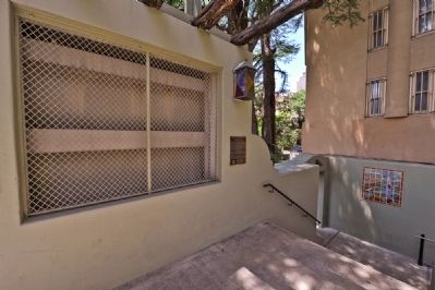
Location. 29° 25.508′ N, 98° 29.534′ W. Marker is in San Antonio, Texas, in Bexar County. It is in Main/Military Plaza. Marker is on W. Market Street. The plaque is located on the north flood control bridge over the San Antonio River. Touch for map. Marker is in this post office area: San Antonio TX 78205, United States of America. Touch for directions.
Other nearby markers. At least 8 other markers are within walking distance of this marker. Twin Cypress Mexican Sniper Tree (here, next to this marker); John Twohig Lived on These Grounds (here, next to this marker); San Antonio's River Walk and Flood Control System (a few steps from this marker); Twohig House (within shouting distance of this marker); Perote Prisoners (within shouting distance of this marker); Main Plaza - Plaza de las Islas (about 300 feet away, measured in a direct line); Council House (about 400 feet away); Saint Mary's Church (about 400 feet away). Touch for a list and map of all markers in San Antonio.
Credits. This page was last revised on June 5, 2023. It was originally submitted on May 11, 2010, by Ronald Claiborne of College Station, Texas. This page has been viewed 2,507 times since then and 32 times this year. Photos: 1, 2, 3, 4, 5, 6, 7, 8, 9, 10. submitted on May 11, 2010, by Ronald Claiborne of College Station, Texas. • Bill Pfingsten was the editor who published this page.
