Near Colonial Beach in Westmoreland County, Virginia — The American South (Mid-Atlantic)
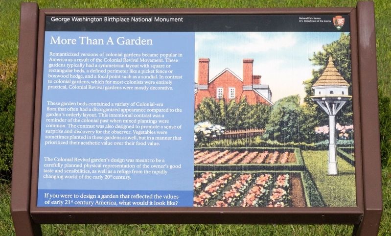
More than a Garden
Photographed by J. J. Prats, July 13, 2026
1. More than a Garden Marker
These garden beds contained a variety of Colonial-era flora that often had a disorganized appearance compared to the garden’s orderly layout. This intentional contrast was a reminder of the colonial past when mixed plantings were common. The contrast was also designed to promote a sense of surprise and discovery for the observer. Vegetables were sometimes planted in these gardens as well, but in a manner that prioritized their aesthetic value over their food value.
The Colonial Revival garden’s design was meant to be a carefully planned physical representation of the owner’s good taste and sensibilities, as well as a refuge from the rapidly changing world of the early 20th century.
If
this page online
Erected by National Park Service, U.S. Department of the Interior.
Topics. This historical marker is listed in these topic lists: Colonial Era • Man-Made Features.
Location. 38° 11.129′ N, 76° 54.96′ W. Marker is near Colonial Beach, Virginia, in Westmoreland County. It can be reached from Popes Creek Road (Virginia Route 204) 1.9 miles east of Kings Highway ( Route 3). Touch for map. Marker is at or near this postal address: 1730 Popes Creek Rd, Colonial Beach VA 22443, United States of America. Touch for directions.

Regionally, this marker is on Virginia’s Northern Neck. It is also in the American South, specifically in the Upper South, in the Tidewater, in the Chesapeake Bay Region, and on the Eastern Seaboard. Globally, it is in the North Atlantic Region, North America, the Western Hemisphere, the Western World, and the Anglosphere. Historically, it finds itself in what was once the territory of the Mississippian Culture, one of the original
Photographed by J. J. Prats, July 13, 2026
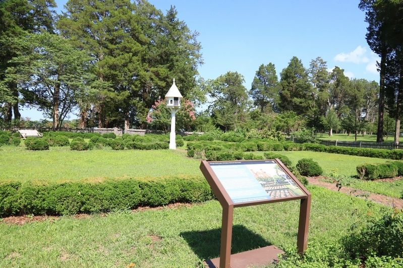
2. More than a Garden Marker
Other nearby markers. At least 8 other markers are within walking distance of this marker: Significance of a Birthplace (within shouting distance of this marker); Constructing a Past (within shouting distance of this marker); Dairy (within shouting distance of this marker); Connected by Commerce (about 300 feet away, measured in a direct line); The Tidewater Gentry (about 500 feet away); Remembering Washington (approx. 0.2 miles away); The First People Here (approx. 0.2 miles away); Explore a trail network (approx. 0.2 miles away). Touch for a list and map of all markers in Colonial Beach.
Other markers no longer nearby. Archeology at Popes Creek (was within shouting distance of this marker but has been permanently removed); The Memorial Area (was within shouting distance of this marker but has been permanently removed); George Washington’s Birthplace (was within shouting distance of this marker but has been permanently removed); Artery of Commerce (was about 400 feet away but has been replaced with another marker now near it); Popes Creek Plantation
Photographed by J. J. Prats, July 13, 2026
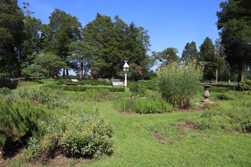
3. The Garden at George Washington’s Birthplace
This marker can be seen in the distance, to the right of the birdhouse.
Credits. This page was last revised on July 18, 2026. It was originally submitted on July 18, 2026, by J. J. Prats of Powell, Ohio. This page has been viewed 8 times since then. Photos: 1, 2, 3. submitted on July 18, 2026, by J. J. Prats of Powell, Ohio.
