Near Colonial Beach in Westmoreland County, Virginia — The American South (Mid-Atlantic)
Connected by Commerce
George Washington Birthplace National Monument
| — | National Park Service, U.S. Department of the Interior | — |
Photographed by J. J. Prats, July 13, 2026
1. Connected by Commerce Marker
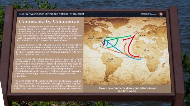
George Washington was born a British subject into the Atlantic World—a world that was globally linked by trade networks and intense international competition for land, resources, labor, and profit. Seemingly remote and isolated by today’s standards, the Washington family property was very well-connected to the larger Atlantic World by way of the Potomac River, which you can see in the distance.
A major tributary of the Chesapeake Bay, the Potomac River led to the Atlantic Ocean and from there to well-established international economic networks that were easily accessible by ship. A variety of ships, both coming and going, would have been a regular sight on the river.
From Virginia plantations, tobacco and raw materials would be loaded onto ships and sent to European markets. Returning ships would be filled with a variety of European trade goods, such as tea and spices from Asia, manufactured products, and enslaved Africans for sale. News and correspondence circulated along trade routes as well. Ships also took on paying passengers traveling to various locales along the Atlantic seaboard.
The economies of at least
this page online
How does commerce drive connections in our modern world?
Erected by National Park Service, U.S. Department of the Interior.
Topics. This historical marker is listed in these topic lists: Agriculture • Colonial Era • Industry & Commerce.
Location. 38° 11.174′ N, 76° 54.926′ W. Marker is near Colonial Beach, Virginia, in Westmoreland County. It can be reached from Popes Creek Road (Route 204) 1.9 miles east of Kings Highway (Virginia Route 3). Touch for map. Marker is at or near this postal address: 1730 Popes Creek Rd, Colonial Beach VA 22443, United States of America. Touch for directions.

Regionally, this marker is on Virginia’s Northern Neck. It is also in the American South, specifically in the Upper South, in the Tidewater, in the Chesapeake Bay Region, and on the Eastern Seaboard. Globally, it is in the North Atlantic Region, North
Photographed by J. J. Prats, July 13, 2026
2. Connected by Commerce Marker
Other nearby markers. At least 8 other markers are within walking distance of this marker: Constructing a Past (about 300 feet away, measured in a direct line); More than a Garden (about 300 feet away); Significance of a Birthplace (about 400 feet away); Dairy (about 400 feet away); The Tidewater Gentry (approx. 0.2 miles away); Remembering Washington (approx. ¼ mile away); The First People Here (approx. ¼ mile away); Explore a trail network (approx. ¼ mile away). Touch for a list and map of all markers in Colonial Beach.
Other markers no longer nearby. Artery of Commerce (was within shouting distance of this marker but has been replaced with another marker now near it); The Memorial Area (was about 400 feet away but has been permanently removed); Archeology at Popes Creek (was about 400 feet away but has been permanently removed); George Washington’s Birthplace
Photographed by J. J. Prats, July 13, 2026
3. Connected by Commerce Marker
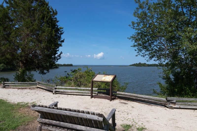
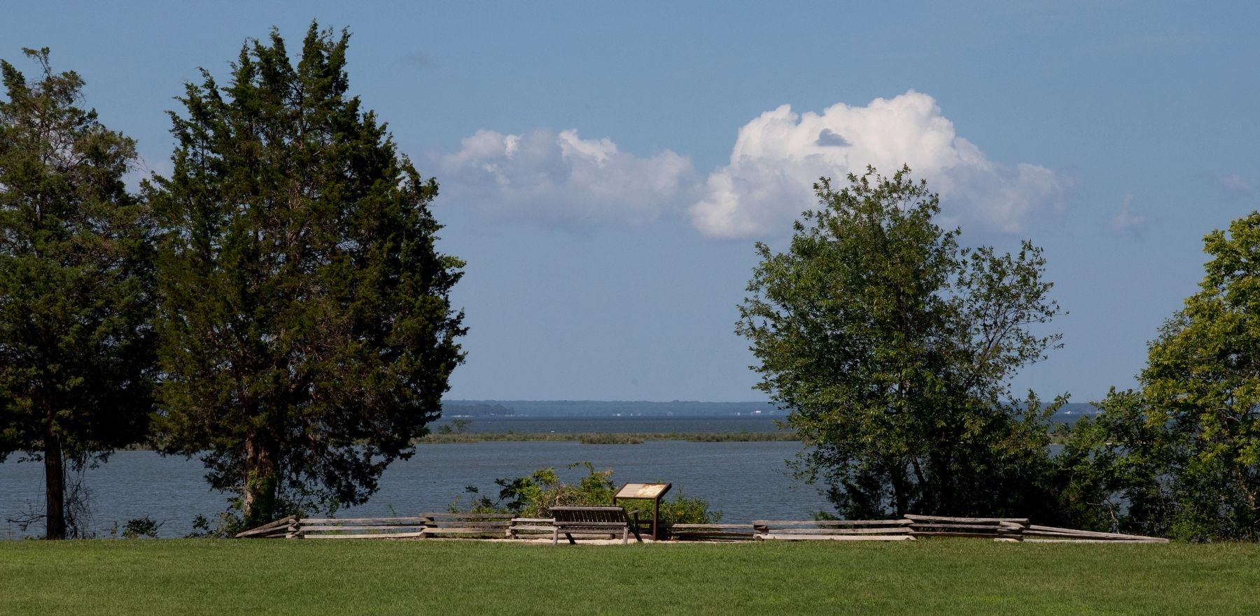
The body of water directly behind the marker is the mouth of Pope's Creek. In the distance is the Potomac River.
Credits. This page was last revised on July 18, 2026. It was originally submitted on July 18, 2026, by J. J. Prats of Powell, Ohio. This page has been viewed 9 times since then. Photos: 1, 2, 3. submitted on July 18, 2026, by J. J. Prats of Powell, Ohio.
