
Near Seneca in Montgomery County, Maryland — The American Northeast (Mid-Atlantic)
Rowser’s Ford
5,000 Confederate Cavalrymen Crossed
| — | Gettysburg Campaign | — |
Photographed by Craig Swain, July 7, 2007
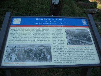
1. Close Up View of Marker
On June 24, 1863, Gen. J.E.B. Stuart, leaving 3,000 cavalrymen in Rectortown, Virginia, to monitor Federal activity, led three Confederate cavalry brigades to Haymarket. Encountering Union Gen. Winfield S. Hancock’s corps marching north, Stuart sent Gen. Robert E. Lee a dispatch (never received) predicting where Hancock would cross the Potomac River. Stuart’s cavalry rode through Fairfax Court House and reached Dranesville on June 27.
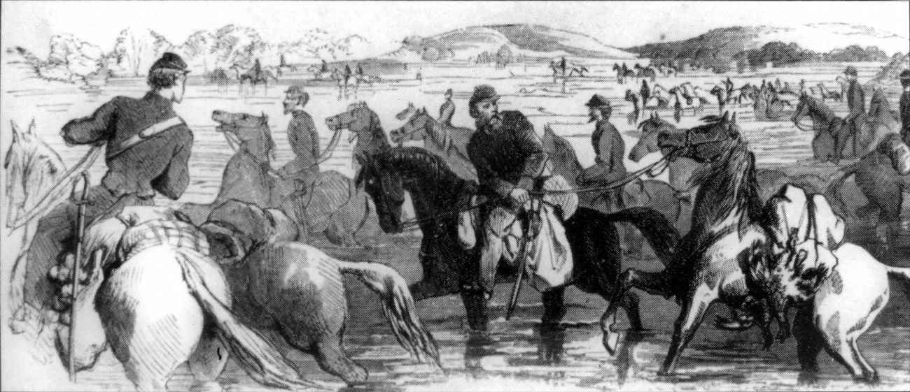
That night, 5,000 Confederate cavalrymen crossed into Maryland at Rowser’s Ford, cutting between the Union army and Washington. The rain-swollen river made crossing difficult for artillery and ambulances. By 3 a.m. on Sunday, June 28, they had crossed without alerting residents.
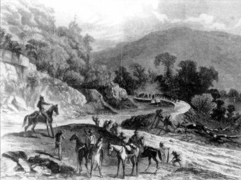
Stuart seized the Chesapeake and Ohio Canal between Locks 23 and 24, hoping to disrupt commerce and an important Federal supply line. Cavalrymen turned a barge length-wise for an impromptu bridge. Capturing at least a dozen boats with Union soldiers and grain, they burned nine, damaged the wooden gates at Lock 23 and Guard Lock 2, and drained that section of the canal by breaching the towpath embankment. Not
this page online
Stuart’s forces rested, then split into two columns to converge that afternoon at Rockville, the Montgomery County seat. Gen. Wade Hampton’s brigade turned up Seneca Road to Darnestown. Stuart, with the other two brigades under Gens. Fitzhugh Lee and W.H.F. Lee (led by Col. John R. Chambliss), rode south towards Offutts Crossroads (present-day Potomac) and onto Great Falls Road.
Erected by Maryland Civil War Trails.
Topics and series. This historical marker is listed in these topic lists: Industry & Commerce • War, US Civil • Waterways & Vessels. In addition, it is included in the Chesapeake and Ohio (C&O) Canal, and the Maryland Civil War Trails series lists. A significant historical date for this entry is June 24, 1863.
Location. 39° 4.135′ N, 77° 20.451′ W. Marker is near Seneca, Maryland, in Montgomery County. It is on Rileys Lock Road south of River Road, on the right when traveling south. Touch for map. Marker is at or near this postal address: 13000 Rileys Lock Rd, Germantown MD 20874, United States of America. Touch for directions.

Regionally, this marker is in the Washington
Photographed by Tom Fuchs, November 4, 2006
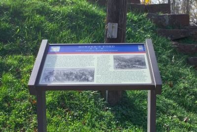
2. Rowser’s Ford Marker
Other nearby markers. At least 8 other markers are within walking distance of this marker: Seneca (a few steps from this marker); Seneca: “Average Man’s Resort” (approx. 0.2 miles away); Seneca Creek: “A Raging River” (approx. 0.2 miles away); A Veteran’s Life in Montgomery County (approx. ¾ mile away); Seneca Mills During the Civil War (approx. ¾ mile away); Seneca Store (approx. ¾ mile away); Seneca Mill (approx. ¾ mile away); a different marker also named Seneca Store (approx. ¾ mile away). Touch for a list and map of all markers in Seneca.
Other markers no longer nearby. The Seneca Aqueduct (was here, next to this marker but has been confirmed missing); Watering the Canal (was approx. 0.7 miles away but has been confirmed missing); a different marker also named Seneca (was approx. 0.7 miles away but has been confirmed missing).
Also see . . . Rowser's Ford Overlook.
Photographed by Tom Fuchs, November 4, 2006
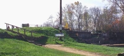
3. Rowser’s Ford Marker at Riley's Lock
Stairs lead up to Lock 24 and the Seneca Acqueduct. This marker is at the bottom of the stairs. The Seneca Aqueduct marker is as the top of the stairs, to the right. The Aqueduct itself is in the distance to the right.
Additional keywords. C&O Canal
Photographed by Tom Fuchs, November 4, 2006
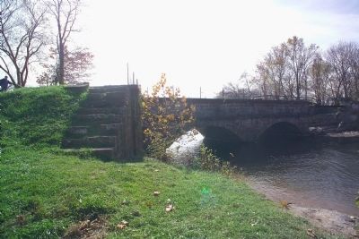
4. Seneca Aqueduct
Marker is out of frame to the right. Person at the extreme left of this photograph is on the footbridge over Lock 24.
Photographed by Craig Swain, July 7, 2007
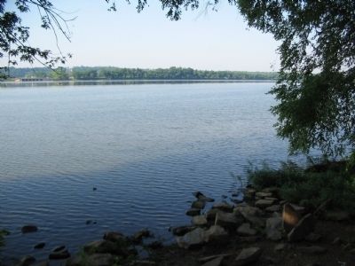
5. Across the Potomac at Seneca Lock
The distant shore is known locally as Lowes Island, as Sugarland Run separates it from the rest of the shore. The concrete structures on the left are water drains. Rowser's Ford was further downstream near Violetts Lock.
Photographed by Allen C. Browne, September 4, 2016
6. Confederate Cavalrymen fording the Potomac River
Photographed by Allen C. Browne, September 4, 2016
7. Cavalrymen cutting the C&O Canal banks to drain the water
Photographed by Allen C. Browne, September 4, 2016
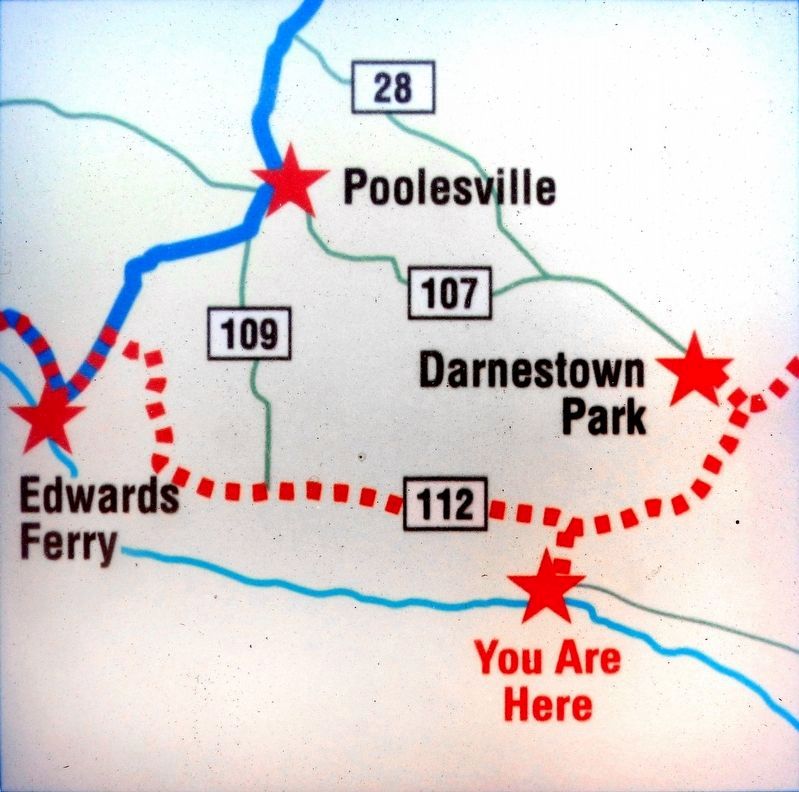
8. Map - You are Here
Credits. This page was last revised on July 18, 2026. It was originally submitted on December 16, 2006, by Tom Fuchs of Greenbelt, Maryland. This page has been viewed 7,379 times since then and 128 times this year. Last updated on July 18, 2026, by Carl Gordon Moore Jr. of North East, Maryland. Photos: 1. submitted on July 8, 2007, by Craig Swain of Leesburg, Virginia. 2, 3, 4. submitted on December 16, 2006, by Tom Fuchs of Greenbelt, Maryland. 5. submitted on July 7, 2007, by Craig Swain of Leesburg, Virginia. 6, 7, 8. submitted on September 5, 2016, by Allen C. Browne of Silver Spring, Maryland. • Devry Becker Jones was the editor who published this page.
