Glass Point in Jamestown in James City County, Virginia — The American South (Mid-Atlantic)
Interpreting the Glasshouse

Photographed by Tracy Andersen Roberts, July 3, 2026
1. Interpreting the Glasshouse Marker
The story of the first industry attempted in the English colony was one that needed to be told. For the 350th anniversary of Jamestown in 1957, a shed over the original Glasshouse ruins, a glassblowing facility, and a circular trail paved with crushed oyster shells were constructed at Glass House Point. Interpretive signs provided information on the history of the Glasshouse and identified the traces of the original Greate Road.
The shed was replaced with the current building in 1976. To commemorate the 400th anniversary of Jamestown in 2007, the course of the trail and its surface were changed to make the Glasshouse site more accessible.
(captions)
Greate Road near the Glasshouse, 1963
Glassblowing demonstration, 1963
Gasshouse Demonstration Building with oyster shell path, 1959
Topics. This historical marker is listed in these topic lists: Anthropology & Archaeology
this page online
Location. 37° 13.245′ N, 76° 47.065′ W. Marker is in Jamestown, Virginia, in James City County. It is in Glass Point. It can be reached from Colonial National Historical Parkway 0.6 miles south of Jamestown Road (Virginia Route 31), on the right when traveling south. Touch for map. Marker is in this post office area: Jamestown VA 23081, United States of America. Touch for directions.

Regionally, this marker is on Virginia’s Peninsula, in Coastal Virginia, and in the Hampton Roads Metropolitan Area. It is also in the American South, specifically in the Upper South, in the Tidewater, and on the Eastern Seaboard. Globally, it is in the North Atlantic Region, North America, the Western Hemisphere, the Western World, and the Anglosphere. Historically, it finds itself in what was once the territory of the Mississippian Culture, one of the original Thirteen Colonies, one of the Confederate States of America, and the Antebellum South.
Other nearby markers. At least 8 other markers are within walking distance

Photographed by Tracy Andersen Roberts, July 3, 2026
2. marker shown in front interpretive building in wooded area
Also see . . . National Park Service entry, "Jamestown Glasshouse".
Come witness what was surely one of England's first industries in North America. You will be mesmerized as artisans form glass into useful household products.(Submitted on July 18, 2026, by Tracy Andersen Roberts of Atlanta, Georgia.)
Photographed by Tracy Andersen Roberts, July 3, 2026
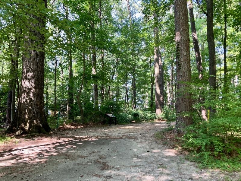
3. path on the way to marker
Credits. This page was last revised on July 19, 2026. It was originally submitted on July 18, 2026, by Tracy Andersen Roberts of Atlanta, Georgia. This page has been viewed 13 times since then. Photos: 1, 2, 3. submitted on July 18, 2026, by Tracy Andersen Roberts of Atlanta, Georgia. • Bernard Fisher was the editor who published this page.
