James Fort in Jamestown in James City County, Virginia — The American South (Mid-Atlantic)
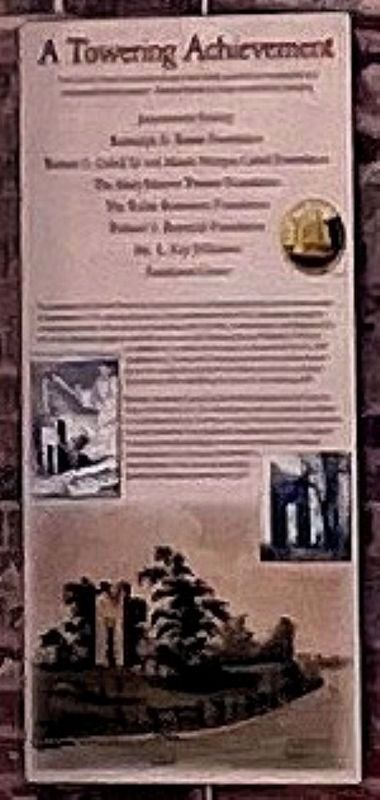
A Towering Achievement
Photographed by Tracy Andersen Roberts, July 3, 2026
1. A Towering Achievement Marker
Jamestowne Society
Randolph D. Rouse Foundation
Robert G. Cabell III and Maude Morgan Cabell Foundation
The Mary Morton Parsons Foundation
The Roller-Bottimore Foundation
Richard S. Reynolds Foundation
Ms. L. Kay Wilkinson
Americana Corner
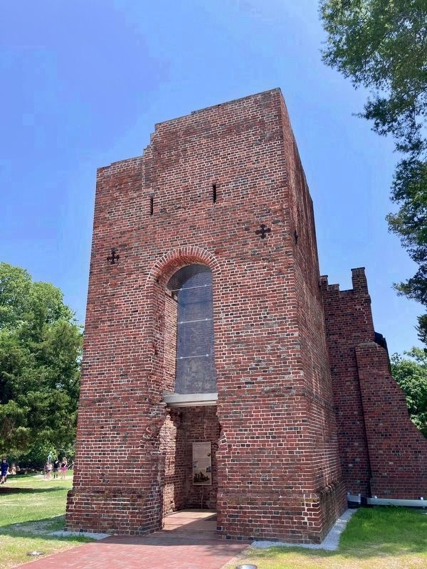
For centuries, the Church Tower ruin stood as an icon of Jamestown's past. As the lone survivor of Jamestown's 17th century structures, it has weathered trials of fire, occupation during the tumultuous periods of the American Revolution and Civil War, abandonment, and deterioration over time. Research suggests that the tower was built following Bacon's Rebellion (1676) as an addition to an earlier brick church. In preparation for the 1907 Tercentennial, Preservation Virginia conducted an archaeological dig on the church site and built the Memorial Church on historic foundations, while stabilizing the tower for the visiting public.
Recently, meticulous preservation efforts breathed new life into the bricks of the tower ruin. An internal glass roof now shields the interior from the elements; the first time in over 250 years that such protection has been afforded. This innovative engineering solution safeguards the tower's historical integrity but also preserves its ambiance, allowing visitors to immerse themselves in the remnants of the churches that have graced this hallowed ground since 1617.
Topics. This historical marker is listed in these topic lists: Anthropology & Archaeology • Architecture • Colonial Era • Religion & Religious Structures • Settlements & Settlers. A significant historical year for this entry is 1617.
Location. 37° 12.509′ N, 76° 46.718′ W. Marker is in Jamestown, Virginia, in
this page online

Regionally, this marker is on Virginia’s Peninsula, in Coastal Virginia, and in the Hampton Roads Metropolitan Area. It is also in the American South, specifically in the Upper South, in the Tidewater, and on the Eastern Seaboard. Globally, it is in the North Atlantic Region, North America, the Western Hemisphere, the Western World, and the Anglosphere. Historically, it finds itself in what was once the territory of the Mississippian Culture, one of the original Thirteen Colonies, one of the Confederate States of America, and the Antebellum South.
Other nearby markers. At least 8 other markers are within walking distance of this marker: 1608 Church (here, next to this marker); Storehouse & First Well (a few steps from this marker); Church Tower (a few steps from this
Photographed by Tracy Andersen Roberts, July 3, 2026
2. A Towering Achievement Marker
Also see . . . Historic Jamestown entry "17th Century Church Tower".
The 17th-century brick church tower is the last surviving above-ground structure from the days when Jamestown was the capital of Virginia. The tower, which was constructed around 1680, has survived fires, the fortification of the area during the American Civil War, and decades in which it was left to molder in the thick woods that grew after the colony’s capital moved to Williamsburg in 1699.(Submitted on July 19, 2026, by Tracy Andersen Roberts of Atlanta, Georgia.)
Credits. This page was last revised on August 4, 2026. It was originally submitted on July 18, 2026, by Tracy Andersen Roberts of Atlanta, Georgia. This page has been viewed 21 times since then. Photos: 1. submitted on July 19, 2026, by Tracy Andersen Roberts of Atlanta, Georgia. 2. submitted on July 18, 2026, by Tracy Andersen Roberts of Atlanta, Georgia. • Bernard Fisher was the editor who published this page.
