
Mount Hope in Providence in Providence County, Rhode Island — The American Northeast (New England)
Sarah Scott Hopkins
Wife of Governor Stephen Hopkins
Photographed by G.W.Bartlett, July 19, 2026
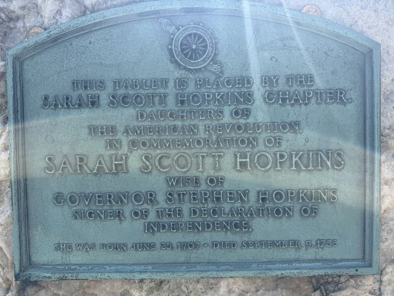
1. Sarah Scott Hopkins Marker
This tablet is placed by the Sarah Scott Hopkins Chapter, Daughters of the American Revolution, in commemoration of Sarah Scott Hopkins wife of Governor Stephen Hopkins signer of the Declaration of Independence.
Erected by Sarah Scott Hopkins Chapter, Daughter of the American Revolution.
Topics and series. This historical marker is listed in these topic lists: Cemeteries & Burial Sites • War, US Revolutionary • Women. In addition, it is included in the Daughters of the American Revolution (DAR) series list. A significant historical year for this entry is 1776.
Location. 41° 50.726′ N, 71° 24.456′ W. Marker is in Providence, Rhode Island, in Providence County. It is in Mount Hope. It can be reached from Branch Avenue north of North Main Street (U.S. 1), on the right when traveling north. Touch for map. Marker is at or near this postal address: 5 Branch Avenue, Providence RI 02904, United States of America. Touch for directions.

Regionally, this marker is on Rhode Island’s Narragansett Bay. It is also in the American Northeast, in New England,
this page online
Other nearby markers. At least 8 other markers are within walking distance of this marker: The Illustrious Stephen Hopkins (here, next to this marker); Stephen Hopkins (here, next to this marker); Revolutionary War Patriots (a few steps from this marker); Olney Street Riot 1831 (approx. 0.7 miles away); Esek Hopkins (approx. 0.7 miles away); Elizabeth Angell Gould (approx. 0.7 miles away); Slavery and Land Acknowledgement (approx. 0.7 miles away); Morris Brown House (approx. ¾ mile away). Touch for a list and map of all markers in Providence.
Photographed by G.W.Bartlett, July 19, 2026
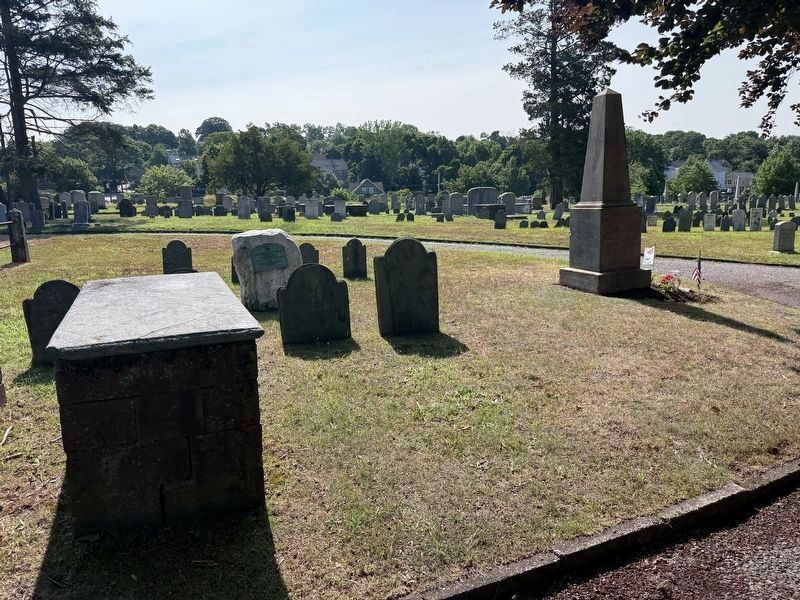
2. Sarah Scott Hopkins Marker (wide)
From the west. Monument is west facing. The monument is behind her headstone. Gov. Stephen Hopkins obelisk visible to the right.
Photographed by G.W.Bartlett, July 19, 2026
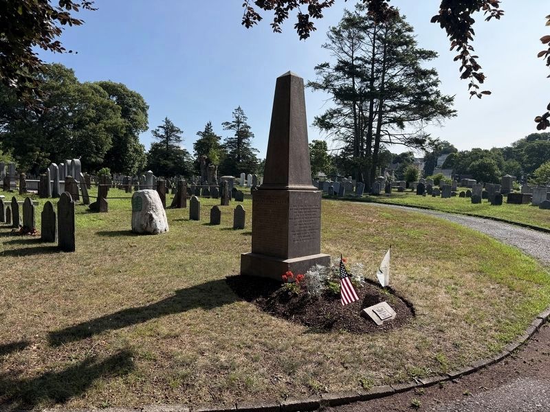
3. Sarah Scott Hopkins Marker (wide)
Photographed by G.W.Bartlett, July 19, 2026
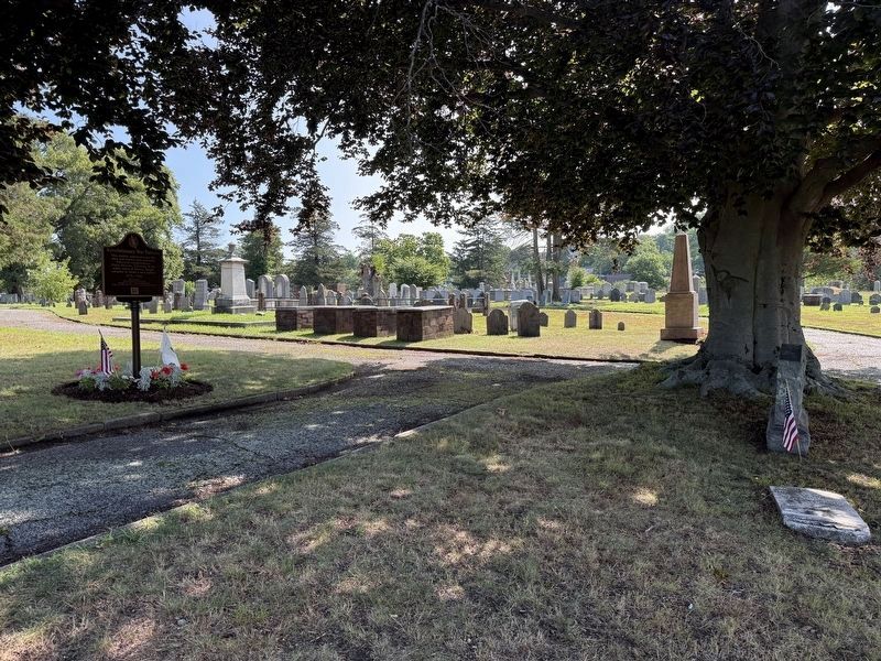
4. Sarah Scott Hopkins Marker (context)
Credits. This page was last revised on July 21, 2026. It was originally submitted on July 21, 2026, by G.W.Bartlett of Hingham, Massachusetts. This page has been viewed 17 times since then. Photos: 1, 2, 3, 4. submitted on July 21, 2026, by G.W.Bartlett of Hingham, Massachusetts. • Devry Becker Jones was the editor who published this page.
