Fries in Grayson County, Virginia — The American South (Mid-Atlantic)
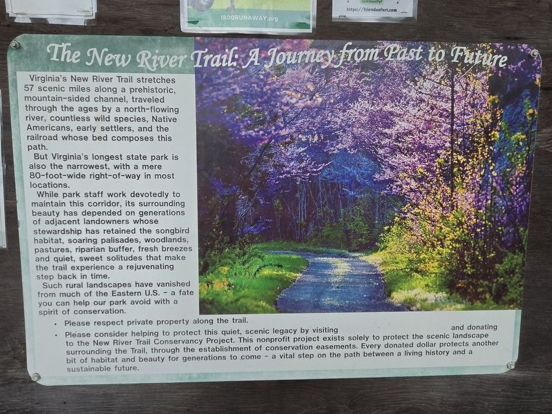
The New River Trail: A Journey from Past to Future
Photographed by Mark Parker, July 10, 2026
1. The New River Trail: A Journey from Past to Future Marker
Virginia's New River Trail stretches 57 scenic miles along a prehistoric, mountain-sided channel, traveled through the ages by a north-flowing river, countless wild species, Native Americans, early settlers, and the railroad whose bed composes this path.
But Virginia's longest state park is also the narrowest, with a mere 80-foot-wide right-of-way in most locations.
While park staff work devotedly to maintain this corridor, its surrounding beauty has depended on generations of adjacent landowners whose stewardship has retained the songbird habitat, soaring palisades, woodlands, pastures, riparian buffer, fresh breezes, and quiet, sweet solitudes that make the trail experience a rejuvenating step back in time.
Such rural landscapes have vanished from much of the Eastern U.S. - a fate you can help our park avoid with a spirit of conservation.
Topics. This historical marker is listed in these topic lists: Horticulture & Forestry • Indigenous Peoples and Communities • Parks & Recreational Areas • Railroads & Streetcars.
Location. 36° 42.912′ N, 80° 58.602′ W.
this page online

Regionally, this marker is in Southwest Virginia and in the Blue Ridge Highlands. It is also in the American South, specifically in the Upper South, in Appalachia, and specifically in Southern Appalachia. Globally, it is in North America, the Western Hemisphere, the Western World, and the Anglosphere. Historically, it finds itself in what was once the territory of the Mississippian Culture, one of the original Thirteen Colonies, one of the Confederate States of America, and the Antebellum South.
Other nearby markers. At least 8 other markers are within 5 miles of this marker, measured as the crow flies: “New River Train” Song (approx. 0.3 miles away); Fries (approx. 0.3 miles away); a different marker also named Fries (approx. 0.7 miles away); Grayson County / Carroll County
Photographed by Mark Parker, July 10, 2026
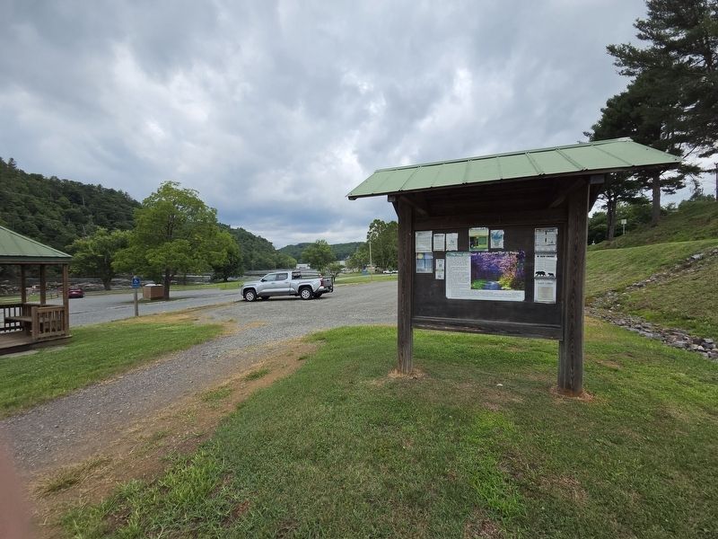
2. The New River Trail: A Journey from Past to Future Marker towards parking at Fries River Park
Another marker is no longer nearby. Landon Boyd (was approx. 1.3 miles away but has been replaced with another marker now near it).
Credits. This page was last revised on July 23, 2026. It was originally submitted on July 21, 2026, by Mark Parker of Hickory, North Carolina. This page has been viewed 13 times since then. Photos: 1, 2. submitted on July 21, 2026, by Mark Parker of Hickory, North Carolina. • Devry Becker Jones was the editor who published this page.
