Fort Jefferson in Darke County, Ohio — The American Midwest (Great Lakes)
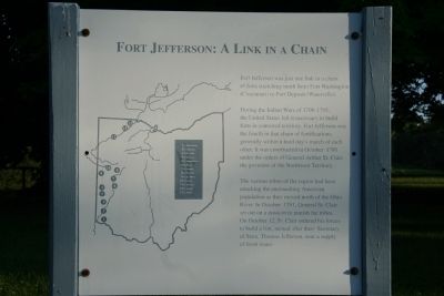
Fort Jefferson: A Link in a Chain
Photographed by Dale K. Benington, June 5, 2009
1. Fort Jefferson: A Link in a Chain Marker
Fort Jefferson was just a link in a chain of forts stretching north from Fort Washington (Cincinnati) to Fort Deposit (Waterville).
During the Indian War of 1790-1795, the United States felt it necessary to build forts in contested territory. Fort Jefferson was the fourth in that chain of fortifications, generally within a hard day's march of each other. It was constructed in October 1791 under the orders of General Arthur St. Clair, the governor of the Northwest Territory.
The various tribes of the region had been attacking the encroaching American population as they moved north of the Ohio River. In October 1791, General St. Clair set out on a mission to punish the tribes. On October 12, St. Clair ordered his forces to build a fort, named after then - Secretary of State, Thomas Jefferson, near a supply of fresh water.
Erected by Ohio Historical Society.
Topics and series. This historical marker is listed in these topic lists: Forts and Castles • Indigenous Peoples and Communities • Wars, US Indian. In addition, it is included in the Former U.S. Presidents: #03 Thomas Jefferson series list. A significant historical month for this entry is October 1791.
Location. Marker
this page online
We have been informed that this marker is no longer there and will not be replaced. This page is an archival view of what was.
Regionally, this marker was in Ohio’s Till Plains. It was also in the American Midwest and in the Corn Belt. Globally, it was in North America, the Western Hemisphere, the Western World, and the Anglosphere. Historically, it found itself in what was once the Haudenosaunee (Iroquois) Confederacy, the territory of the Mississippian Culture, and the Northwest Territory.

Other nearby markers. At least 8 other markers are within walking distance of this location: Underground Passage (a few steps from this marker); Fort Jefferson / St. Clair’s Defeat (a few steps from this marker); Firepit
Photographed by Craig Doda, September 14, 2019
2. Fort Jefferson: A Link in a Chain Marker
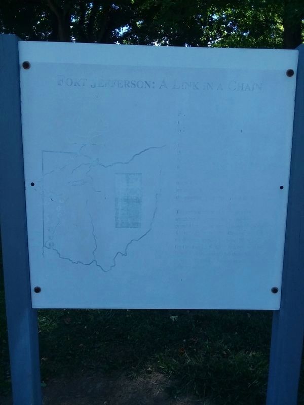
Unfortunately the marker has experienced significant weather damage.
Other markers no longer nearby. Trench (was a few steps from this marker but has been permanently removed); a different marker also named Underground Passage (was within shouting distance of this marker but has been permanently removed); Ash Pit (was within shouting distance of this marker but has been permanently removed); a different marker also named Excavation (was within shouting distance of this marker but has been permanently removed); a different marker also named Firepit (was within shouting distance of this marker but has been permanently removed); Well or Magazine Pit (was within shouting
Photographed by Dale K. Benington, June 5, 2009
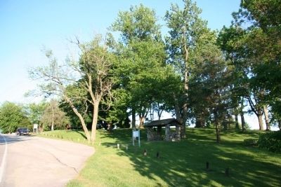
3. Site of Fort Jefferson
Credits. This page was last revised on July 22, 2026. It was originally submitted on September 20, 2009, by Dale K. Benington of Toledo, Ohio. This page has been viewed 1,504 times since then and 65 times this year. Last updated on July 22, 2026, by Craig Doda of Napoleon, Ohio. Photos: 1. submitted on September 20, 2009, by Dale K. Benington of Toledo, Ohio. 2. submitted on January 27, 2021, by Craig Doda of Napoleon, Ohio. 3. submitted on September 20, 2009, by Dale K. Benington of Toledo, Ohio. • Devry Becker Jones was the editor who published this page.
