White Bear Township in Ramsey County, Minnesota — The American Midwest (Upper Plains)
The Landscape was Shaped by Natural Forces
Photographed by McGhiever, January 24, 2024
1. The Landscape was Shaped by Natural Forces Marker
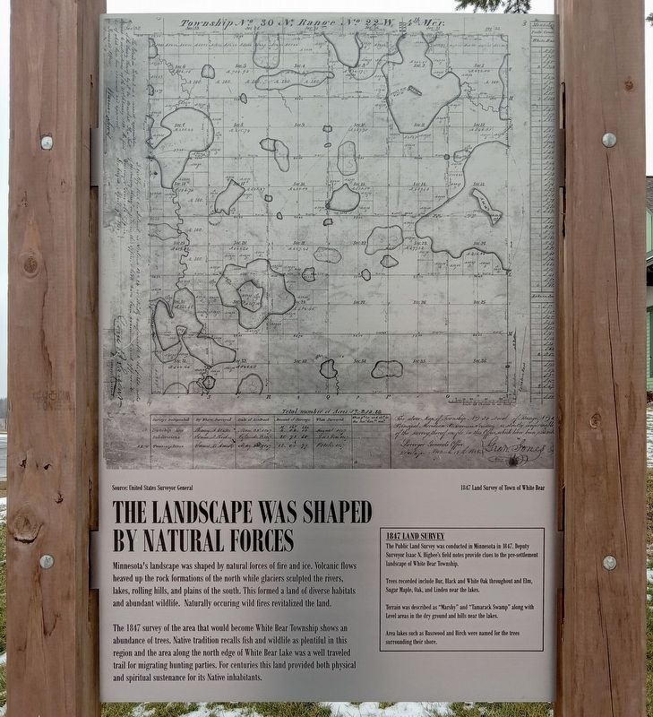
Source: United States Surveyor General
1847 Land Survey of Town of White Bear
Minnesota's landscape was shaped by natural forces of fire and ice. Volcanic flows heaved up the rock formations of the north while glaciers sculpted the rivers, lakes, rolling hills, and plains of the south. This formed a land of diverse habitats and abundant wildlife. Naturally occuring [sic] wild fires revitalized the land.
The 1847 survey of the area that would become White Bear Township shows an abundance of trees. native tradition recalls fish and wildlife as plentiful in this region and the area along the north edge of White Bear Lake was a well traveled trail for migrating hunting parties. For centuries this land provided both physical and spiritual sustenance for its Native inhabitants.
1847 Land Survey
The Public Land Survey was conducted in Minnesota in 1847. Deputy Surveyor Isaac N. Higbee's field notes provide clues to the pre-settlement landscape of White Bear Township.
Trees recorded include Bur, Black and White Oak throughout and Elm, Sugar Maple, Oak, and Linden near the lakes.
Terrain was described as "Marshy"and "Tamarack Swamp" along with Level areas in the dry ground and hills near the lakes.
Click or scan to see
this page online
Area lakes such as Basswood and Birth were named for the trees surrounding their shore.
Topics. This historical marker is listed in these topic lists: Environment • Exploration • Indigenous Peoples and Communities. A significant historical year for this entry is 1847.
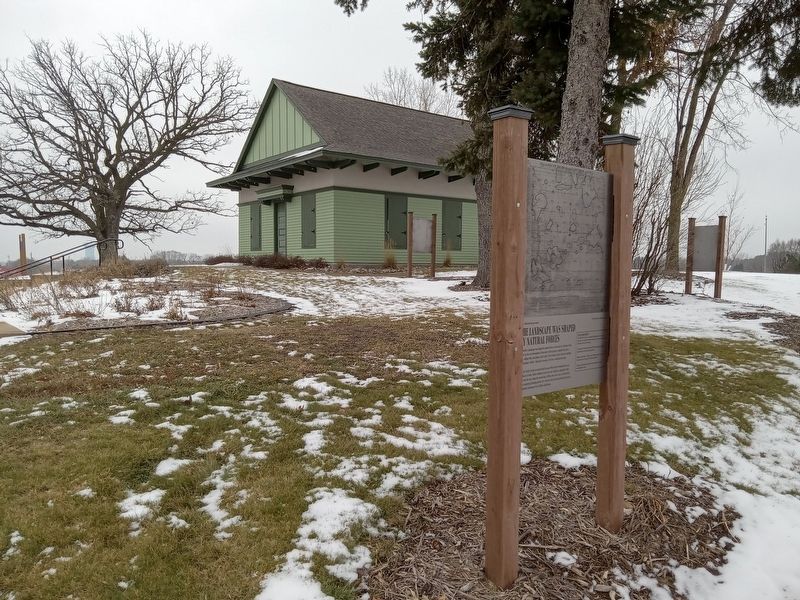
Location. 45° 5.654′ N, 93° 3.056′ W. Marker is in White Bear Township, Minnesota, in Ramsey County. It is on Hammond Road west of Township Parkway, on the right when traveling west. The marker is in Polar Park, on the path from the parking lot to the 1885 White Bear Town Hall. Touch for map. Marker is at or near this postal address: 1280 Hammond Road, Saint Paul MN 55110, United States of America. Touch for directions.

Regionally, this marker is in the Twin Cities Metropolitan Area. It is also in the American Midwest, in the Corn Belt, and in the Great River Road Region. Globally, it is in North America, the Western Hemisphere, the Western World, and the Anglosphere. Historically, it finds itself in what was once Rupert’s Land, the territory of the Mississippian
Photographed by McGhiever, January 24, 2024
2. The Landscape was Shaped by Natural Forces Marker and the 1885 White Bear Town Hall
Other nearby markers. At least 8 other markers are within 3 miles of this marker, measured as the crow flies: Who Were the Area's First Inhabitants? (here, next to this marker); Historic Lake Avenue (approx. 2 miles away); The Original Townsite Plat of White Bear Lake (approx. 2.1 miles away); White Bear Lake Civil War Memorial (approx. 2.1 miles away); White Bear Lake Veterans Memorial (approx. 2.1 miles away); American Indian Mounds (approx. 2.1 miles away); St. John in the Wilderness Episcopal Church (approx. 2.2 miles away); Fillebrown House (approx. 2.4 miles away).
Credits. This page was last revised on July 22, 2026. It was originally submitted on July 22, 2026, by McGhiever of Minneapolis, Minnesota. This page has been viewed 8 times since then. Photos: 1, 2. submitted on July 22, 2026, by McGhiever of Minneapolis, Minnesota.
