Gillette in Campbell County, Wyoming — The American West (Mountains)
Burlington Ditch
Burlington Lake
| — | Burlington Lake Trail | — |
Photographed by Cosmos Mariner, July 29, 2022
1. Burlington Ditch Marker
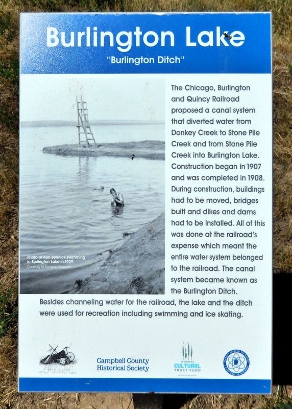
The Chicago, Burlington and Quincy Railroad proposed a canal system that diverted water from Donkey Creek to Stone Pile Creek and from Stone Pile Creek into Burlington Lake. Construction began in 1907 and was completed in 1908. During construction, buildings had to be moved, bridges built and dikes and dams had to be installed. All of this was done at the railroad's expense which meant the entire water system belonged to the railroad. The canal system became known as the Burlington Ditch. Besides channeling water for the railroad, the lake and the ditch were used for recreation including swimming and ice skating.
Erected by Campbell County Historical Society and Wyoming Cultural Trust Fund.
Topics. This historical marker is listed in these topic lists: Parks & Recreational Areas • Railroads & Streetcars • Waterways & Vessels. A significant historical year for this entry is 1907.
Location. 44° 18.027′ N, 105° 29.926′ W. Marker is in Gillette, Wyoming, in Campbell County. It can be reached from the intersection of East Warlow Drive and North Osborne Avenue, on the left when traveling east. The marker is on the
this page online

Regionally, this marker is in the Powder River Basin. It is also in the American Mountain West, on the Great Plains, on the Northern Plains, and specifically on the High Plains. Globally, it is in North America, the Western Hemisphere, the Western World, and the Anglosphere. Historically, it finds itself in what was once the Louisiana Purchase.
Other nearby markers. At least 8 other markers are within walking distance of this marker: Watering Hole (about 300 feet away, measured in a direct line); Champion of Gillette's Green Spaces (about 600 feet away); McManamen Park Walkway Improved (approx. 0.2 miles away); Dog-Banning Proposal (approx. 0.2 miles away); Improvements After the War (approx. 0.3 miles away); Gillette Beautification (approx. 0.3 miles away); Fred & Florence Hicks Homestead (approx. 0.3 miles away); 1912 Flood Disaster (approx. 0.3 miles away). Touch for a list and map of all markers in Gillette.
Related markers.
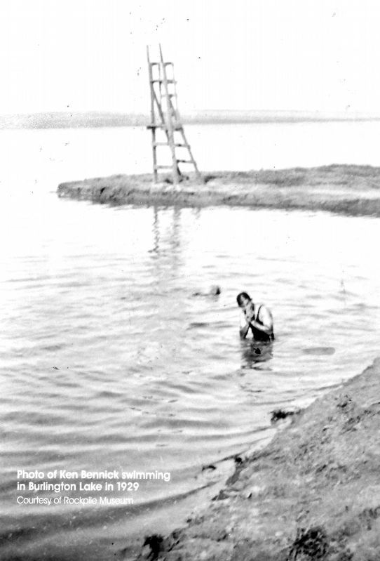
Courtesy Rockpile Museum
2. Marker detail: Ken Bennick swimming in Burlington Lake in 1929
Also see . . . Discover more about The Burlington Ditch.
Excerpt: The Burlington Ditch stands as a testament to the pioneering spirit that shaped the American West. Constructed in the late 1800s, this historical landmark is not just a ditch but a significant engineering feat that enabled agricultural development in an otherwise arid region. Visitors to the Burlington Ditch can appreciate the historical context of this site, which played a crucial role in the irrigation practices of early settlers seeking to cultivate the land. The Burlington Ditch serves as a reminder of the perseverance and resourcefulness of the early settlers, who faced numerous challenges to create a sustainable living environment.(Submitted on July 23, 2026, by Cosmos Mariner of Cape Canaveral, Florida.)
Photographed by Cosmos Mariner, July 29, 2022
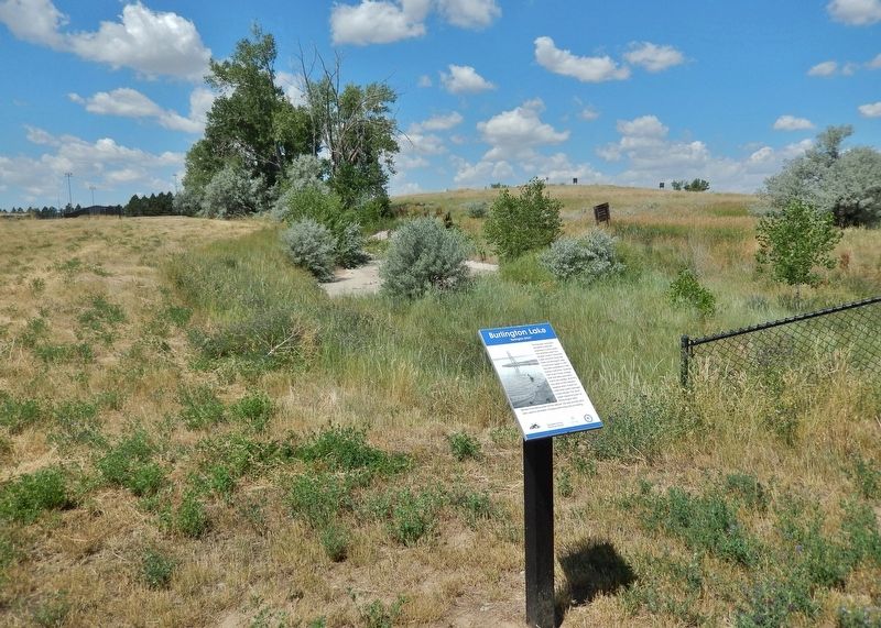
3. Burlington Ditch Marker
Looking west from Burlington Lake Trail.
Photographed by Cosmos Mariner, July 29, 2022
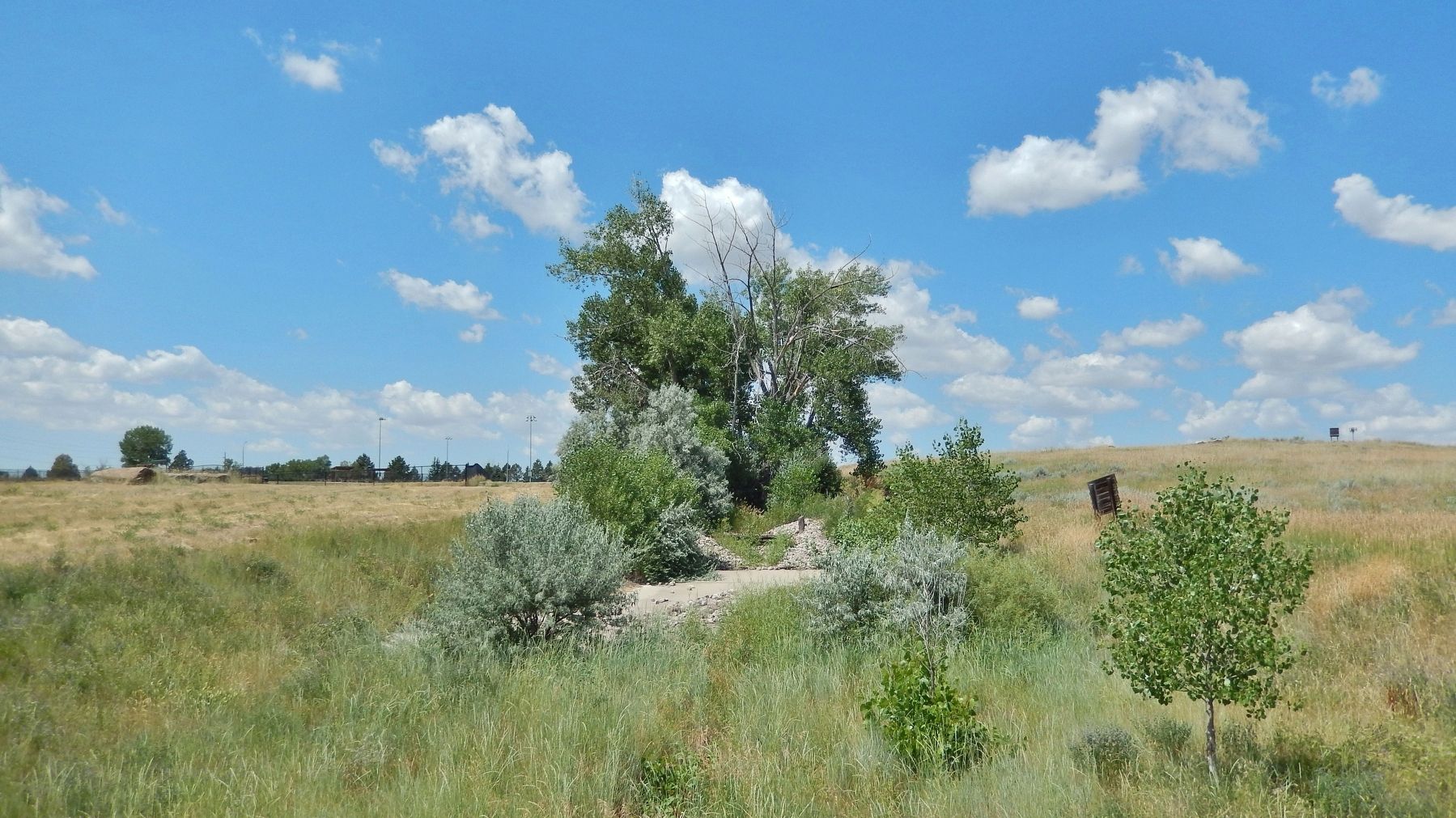
4. Burlington Ditch Today
Looking west from Burlington Lake Trail.
Credits. This page was last revised on July 25, 2026. It was originally submitted on July 22, 2026, by Cosmos Mariner of Cape Canaveral, Florida. This page has been viewed 15 times since then. Photos: 1, 2, 3, 4. submitted on July 23, 2026, by Cosmos Mariner of Cape Canaveral, Florida.
