Sarah Ann in Logan County, West Virginia — The American South (Appalachia)
The Land
Photographed by Mark Parker, July 11, 2026
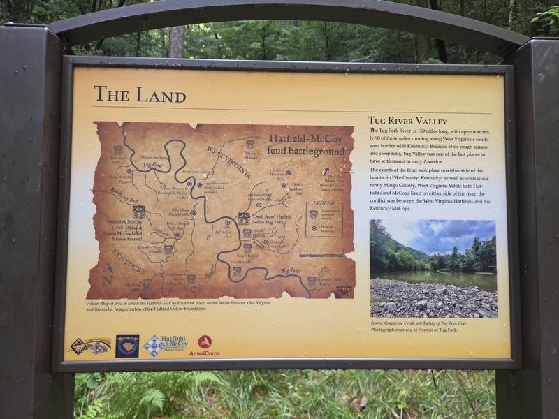
1. The Land Marker
The Tug Fork River is 159 miles long, with approximately 90 of those miles running along West Virginia's southwest border with Kentucky. Because of its rough terrain and steep hills, Tug Valley was one of the last places to have settlements in early America.
The events of the feud took place on either side of the border in Pike County, Kentucky, as well as what is currently Mingo County, West Virginia. While both Hatfields and McCoys lived on either side of the river, the conflict was between the West Virginia Hatfields and the Kentucky McCoys.
[Captions]
Above: Map of area in which the Hatfield McCoy Feud took place, on the border between West Virginia and Kentucky.
Image courtesy of the Hatfield McCoy Foundation
Above: Grapevine Creek, a tributary of Tug Fork River. Photograph courtesy of Friends of Tug Fork.
Erected by National Coal Heritage Area, Logan County Commission, Hatfield & McCoy Convention & Visitors Bureau, AmeriCorp.
Topics. This historical marker is listed in these topic lists: Notable Events • Political Subdivisions • Settlements & Settlers • Waterways & Vessels.
Location. 37° 42.174′ N,
this page online

Regionally, this marker is in the Southern Coalfields. It is also in the American South, specifically in the Upper South, in Appalachia, and specifically in Southern Appalachia. Globally, it is in North America, the Western Hemisphere, the Western World, and the Anglosphere. Historically, it finds itself in what was once the territory of the Mississippian Culture.
Other nearby markers. At least 8 other markers are within walking distance of this marker: The Feud (within shouting distance of this marker); The Man: "Devil Anse" Hatfield (within shouting distance of this marker); The Resting Place (about 500 feet away, measured in a direct line); The Family (about 500 feet away);
Photographed by Mark Parker, July 11, 2026
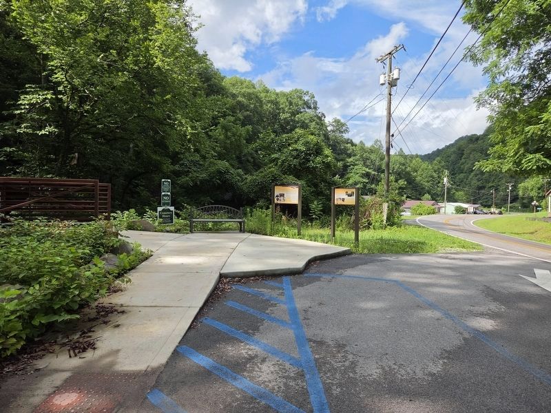
2. Trailhead of the Hatfield Cemetery trial. Along The WV Hwy 44
Marker is at the end of the first lengthy incline.
Photographed by Mark Parker, July 11, 2026
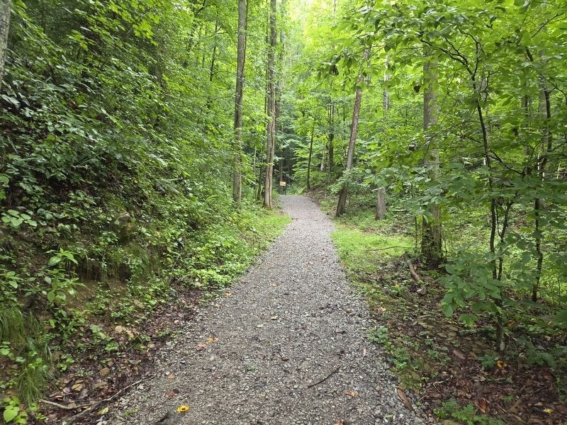
3. First incline in the trail. Marker is at the end.
Credits. This page was last revised on July 23, 2026. It was originally submitted on July 23, 2026, by Mark Parker of Hickory, North Carolina. This page has been viewed 12 times since then. Photos: 1, 2, 3. submitted on July 23, 2026, by Mark Parker of Hickory, North Carolina. • Devry Becker Jones was the editor who published this page.
