Gillette in Campbell County, Wyoming — The American West (Mountains)
Champion of Gillette's Green Spaces
Burlington Lake
| — | Burlington Lake Trail | — |
Photographed by Cosmos Mariner, July 29, 2022
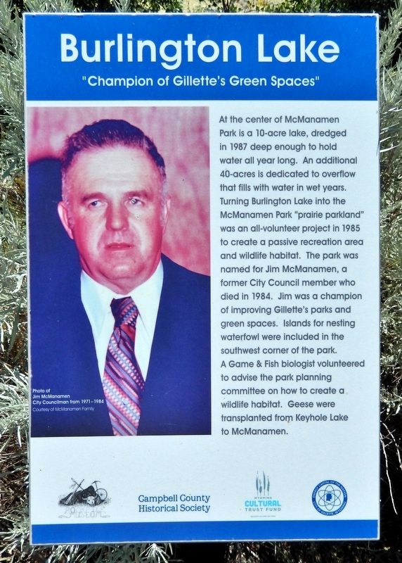
1. Champion of Gillette's Green Spaces Marker
At the center of McManamen Park is a 10-acre lake, dredged in 1987 deep enough to hold water all year long. An additional 40-acres is dedicated to overflow that fills with water in wet years. Turning Burlington Lake into the McManamen Park “prairie parkland” was an all-volunteer project in 1985 to create a passive recreation area and wildlife habitat. The park was named for Jim McManamen, a former City Council member who died in 1984. Jim was a champion of improving Gillette's parks and green spaces. Islands for nesting waterfowl were included in the southwest corner of the park. A Game & Fish biologist volunteered to advise the park planning committee on how to create a wildlife habitat. Geese were transplanted from Keyhole Lake to McManamen.
[photo caption] Jim McManamen, City Councilman from 1971-1984
Erected by Campbell County Historical Society and Wyoming Cultural Trust Fund.
Topics. This historical marker is listed in these topic lists: Charity & Public Work • Environment • Parks & Recreational Areas. A significant historical year for this entry is 1985.
Location. 44° 18.103′ N, 105° 29.85′ W. Marker
this page online

Regionally, this marker is in the Powder River Basin. It is also in the American Mountain West, on the Great Plains, on the Northern Plains, and specifically on the High Plains. Globally, it is in North America, the Western Hemisphere, the Western World, and the Anglosphere. Historically, it finds itself in what was once the Louisiana Purchase.
Other nearby markers. At least 8 other markers are within walking distance of this marker: Dog-Banning Proposal (about 500 feet away, measured in a direct line); Burlington Ditch (about 600 feet away); Watering Hole (about 800 feet away); McManamen Park Walkway Improved (approx. 0.2 miles away); Gillette Beautification (approx. 0.2 miles away); Fred & Florence Hicks Homestead (approx. 0.2 miles away); 1912 Flood Disaster
Photographed by Cosmos Mariner, July 29, 2022
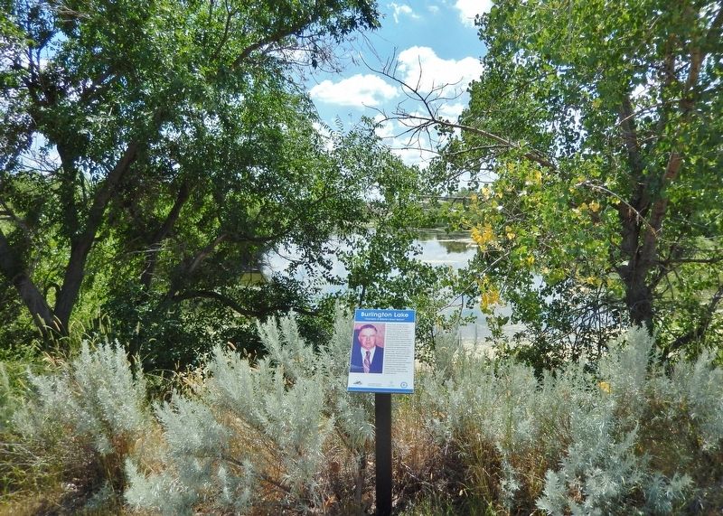
2. Champion of Gillette's Green Spaces Marker
Looking south from the Burlington Lake Trail.
Related markers. Click here for a list of markers that are related to this marker. Burlington Lake Trail
Credits. This page was last revised on July 25, 2026. It was originally submitted on July 23, 2026, by Cosmos Mariner of Cape Canaveral, Florida. This page has been viewed 14 times since then. Photos: 1, 2. submitted on July 23, 2026, by Cosmos Mariner of Cape Canaveral, Florida.
