Germantown in Columbia County, New York — The American Northeast (Mid-Atlantic)
Sharp's Dock

Photographed by Trudi Jacobson, July 24, 2026
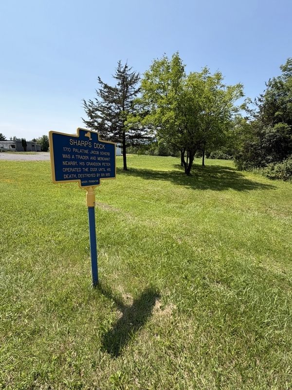
1. Sharp's Dock Marker
1710 Palatine Jacob Scherb was a trader and merchant nearby. His grandson Peter operated the dock until his death. Destroyed by RR 1851
Erected by Hover Foundation.
Topics. This historical marker is listed in these topic lists: Colonial Era • Industry & Commerce • Railroads & Streetcars • Waterways & Vessels. A significant historical year for this entry is 1710.
Location. 42° 8.616′ N, 73° 53.209′ W. Marker is in Germantown, New York, in Columbia County. It is on New York State Route 9G just north of Sharps Landing Road, on the right when traveling south. Touch for map. Marker is in this post office area: Germantown NY 12526, United States of America. Touch for directions.

Regionally, this marker is in Upstate New York and in the Hudson Valley. It is also in the American Northeast and in the Mid-Atlantic. Globally, it is in North America, the Western Hemisphere, the Western World, and the Anglosphere. Historically, it finds itself in what was once New Netherland and also one of the original Thirteen Colonies.
Other nearby markers. At least 8 other markers are within 2 miles of this marker,
this page online
Photographed by Trudi Jacobson, July 24, 2026
2. Sharp's Dock Marker
Credits. This page was last revised on July 29, 2026. It was originally submitted on July 24, 2026, by Trudi Jacobson of Slingerlands, New York. This page has been viewed 17 times since then. Photos: 1, 2. submitted on July 24, 2026, by Trudi Jacobson of Slingerlands, New York. • Michael Herrick was the editor who published this page.
