Emerson in Emerson – Franklin Municipality, Manitoba — Canada’s Prairie Region (North America)
Fort Dufferin
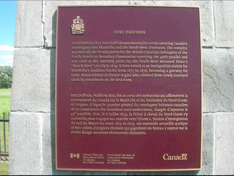
Photographed by Jimmy Emerson, June 24, 2013
1. Fort Dufferin Marker

this page online
Erected by Historic Sites and Monuments Board of Canada.
Topics and series. This historical marker is listed in these topic lists: Forts and Castles • Immigration • Law Enforcement • Political Subdivisions. In addition, it is included in the Canada, Historic Sites and Monuments Board series list. A significant historical year for this entry is 1872.
Location. 49° 1.896′ N, 97° 12.315′ W. Marker is in Emerson, Manitoba, in Emerson – Franklin Municipality. It is on Manchester Avenue, on the left when traveling east. Touch for map. Marker is at or near this postal address: 393 Manchester Avenue, Emerson MB R0A 0L0, Canada. Touch for directions.

Regionally, this marker is in the Red River Valley. It is also in the Prairies. Globally, it is in North America, the Western Hemisphere, the Western World, and the Anglosphere. Historically, it finds itself in what was once a British colony, the Viceroyalty of New France, and Rupert’s Land.
Other nearby markers. At least 8 other

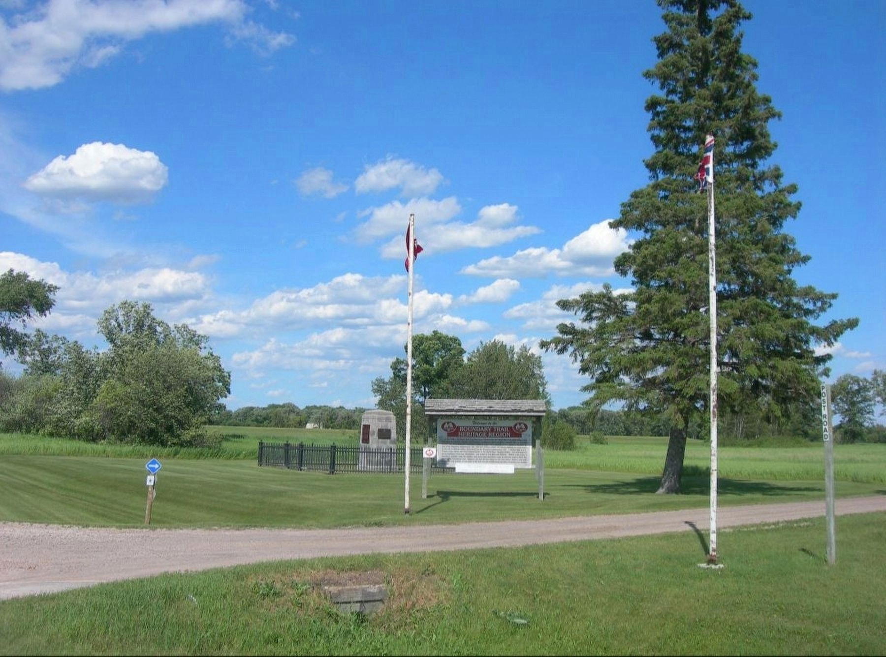
Photographed by Jimmy Emerson, June 24, 2013
2. Fort Dufferin Marker and Monument
Another marker is no longer nearby. The March West / La Marche Vers L'ouest (was a few steps from this marker but has been permanently removed).
Also see . . . Fort Dufferin (Wikipedia). Excerpt:
Fort Dufferin is a former Canadian government post near the Canada–United States border at Emerson, Manitoba. The fort was used during the 1870s as a base for the North American Boundary Commission and the North-West Mounted Police (NWMP), and as an immigration station. It was designated a national(Submitted on November 23, 2025.)historic site of Canada in 1937.Photographed by Jimmy Emerson, June 24, 20133. Fort Dufferin Marker and Monument
Credits. This page was last revised on July 26, 2026. It was originally submitted on November 18, 2025, by Jimmy Emerson of Dalton, Georgia. This page has been viewed 80 times since then and 56 times this year. Last updated on July 25, 2026, by Jimmy Emerson of Dalton, Georgia. Photos: 1, 2, 3. submitted on November 18, 2025, by Jimmy Emerson of Dalton, Georgia. • Andrew Ruppenstein was the editor who published this page.
