Goderich in Huron County, Ontario — Central Canada (North America)
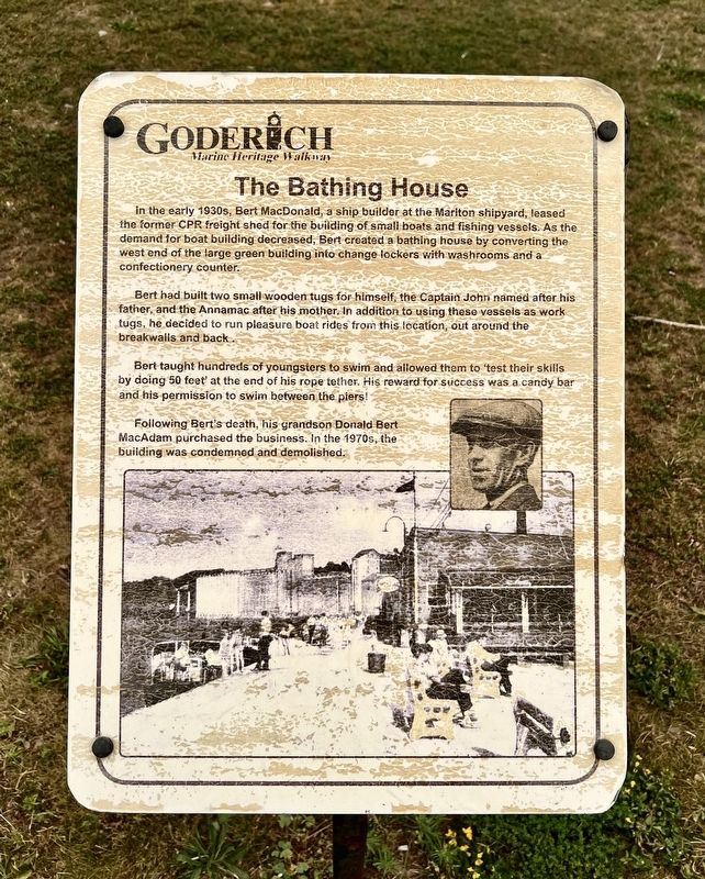
The Bathing House
| — | Goderich Waterfront Heritage Walkway | — |
Photographed by Tim Boyd, July 15, 2026
1. The Bathing House Marker
Bert had built two small wooden tugs for himself, the Captain John named after his father, and the Annamac after his mother. In addition to using these vessels as work tugs, he decided to run pleasure boat rides from this location, out around the breakwalls and back.
Bert taught hundreds of youngsters to swim and allowed them to ‘test their skills by doing 50 feet’ at the end of his rope tether. His reward for success was a candy bar and his permission to swim between the piers!
Following Bert's death, his grandson Donald Bert MacAdam purchased the business. In the 1970s, the building was condemned and demolished.
Topics. This historical marker is listed in these topic lists: Parks & Recreational Areas • Waterways & Vessels.
Location. 43° 44.695′ N,
this page online

Regionally, this marker is in the Huron-Perth-Waterloo-Wellington Area and in Southwestern Ontario. It is also in Central Canada. Globally, it is in North America, on the Great Lakes, in the Western Hemisphere, in the Western World, and in the Anglosphere. Historically, it finds itself in what was once a British colony, the Viceroyalty of New France, the Haudenosaunee (Iroquois) Confederacy, and Rupert’s Land.
Other nearby markers. At least 8 other markers are within walking distance of this marker: Goderich Harbour (here, next to this marker); The CPR Freight Shed (here, next to this marker); Working at the Bathing House (here, next to this marker); Vicki Keith (here, next to this marker); Goderich Salt Mine (here, next to this marker); Fish Shanties
Photographed by Tim Boyd, July 15, 2026
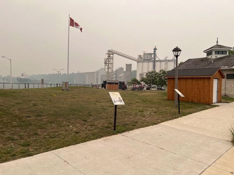
2. The Bathing House Marker
Center of photo
Photographed by Tim Boyd, July 15, 2026
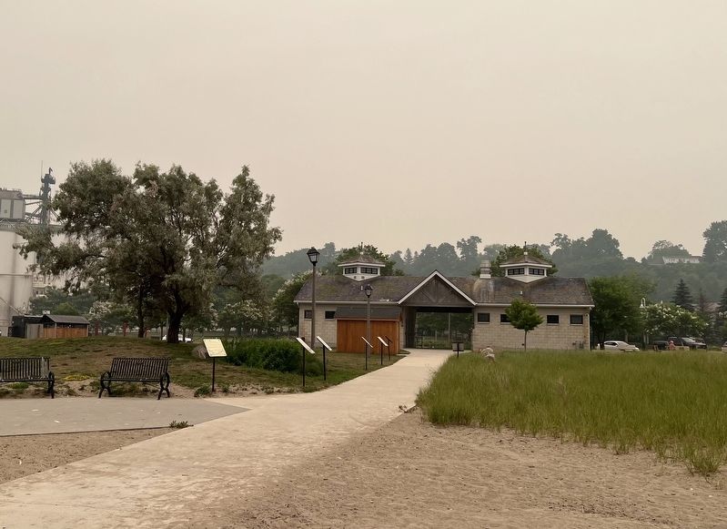
3. The Bathing House Marker
Facing toward the Rotary Beach House and Harbour Street, the marker is the fifth from the camera on the left side of the walkway
Credits. This page was last revised on July 29, 2026. It was originally submitted on July 26, 2026, by Tim Boyd of Hamilton, Ontario. This page has been viewed 28 times since then. Photos: 1, 2, 3. submitted on July 26, 2026, by Tim Boyd of Hamilton, Ontario. • Andrew Ruppenstein was the editor who published this page.
