Kelleys Island in Erie County, Ohio — The American Midwest (Great Lakes)
The Crusher Trail
Kelleys Island State Park

Photographed by Craig Doda, July 4, 2026
1. The Crusher Trail Marker
Explore Kelleys Island's Limestone Past
Follow this 0.4-mile path to explore the history of limestone quarrying on Kelleys Island that shaped island history, fueled industry, and created the landscape we see today. The stone pulled from these quarries is found in structures across the Great Lakes region. At the end of the trail, step back in time to the Crusher Building, where workers transformed island limestone into the materials that built a region.
Erected by Ohio Department Of Natural Resources, Ohio State Parks & Watercraft.
Topics. This historical marker is listed in these topic lists: Indigenous Peoples and Communities • Industry & Commerce • Natural Resources • Parks & Recreational Areas.
Location. 41° 36.964′ N, 82° 42.381′ W. Marker is on Kelleys Island, Ohio, in Erie County. It is at the intersection of Division Street and Titus Road, on the right when traveling south on Division Street. Touch for map. Marker is at or near this postal address: 739 Division St, Kelleys Island OH 43438, United States of America. Touch for directions.

Regionally,
this page online
Other nearby markers. At least 8 other markers are within walking distance of this marker: Welcome to Glacial Grooves Geological Preserve (a few steps from this marker); Island History (a few steps from this marker); Excavation (about 300 feet away, measured in a direct line); Quarrying (about 400 feet away); The Crusher Process (about 600 feet away); a different marker also named The Crusher Trail (about 700 feet away); Columbus Limestone / Kelleys Island Lime & Transport Co. (about 700 feet away); The Small, but Mighty (about 700 feet away). Touch for a list and map of all markers in Kelleys Island.
Another marker is no longer nearby. Glacial Grooves State Memorial (was within shouting distance of this marker
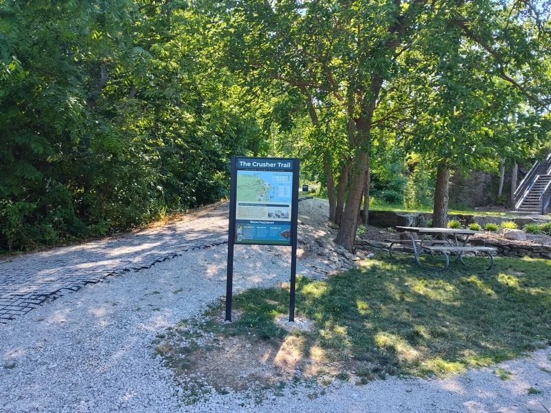
Photographed by Craig Doda, July 4, 2026
2. The Crusher Trail Marker
Credits. This page was last revised on August 5, 2026. It was originally submitted on July 27, 2026, by Craig Doda of Napoleon, Ohio. This page has been viewed 21 times since then. Photos: 1, 2. submitted on July 27, 2026, by Craig Doda of Napoleon, Ohio. • Devry Becker Jones was the editor who published this page.
