Near Brookneal in Campbell County, Virginia — The American South (Mid-Atlantic)
Patrick Henry’s Red Hill
“One of the garden spots of the world”
| — | Road to Revolution | — |
Photographed by Tom Bosse, July 4, 2026
1. Patrick Henry’s Red Hill Marker
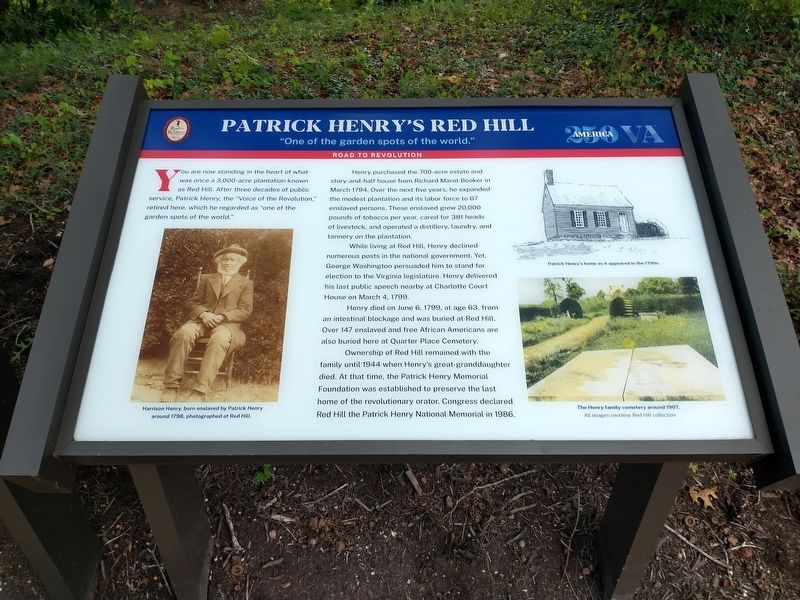
Henry purchased the 700-acre estate and story-and-half house from Richard Marot Booker in March 1794. Over the next five years, he expanded the modest plantation and its labor force to 67 enslaved persons. These enslaved grew 20,000 pounds of tobacco per year, cared for 381 heads of livestock, and operated a distillery, laundry, and tannery on the plantation.
While living at Red Hill, Henry declined numerous posts in the national government. Yet, George Washington persuaded him to stand for election to the Virginia legislature. Henry delivered his last public speech at nearby Charlotte Court House on March 4, 1799.
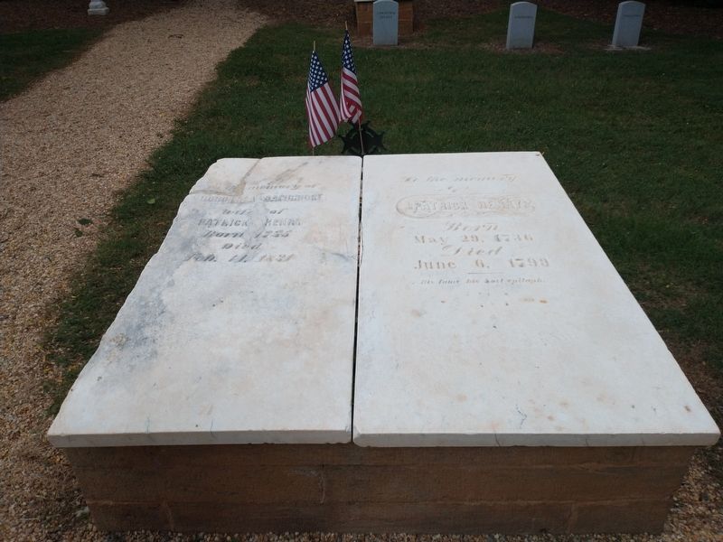
Henry died on June 6, 1799, at age 63, from an intestinal blockage and was buried at Red Hill. Over 147 enslaved and free African Americans are also buried here at Quarter Place Cemetery.
Ownership of Red Hill remained with the family until 1944 when
this page online
(captions)
Harrison Henry, born enslaved by Patrick Henry around 1798, photographed at Red Hill.
Patrick Henry’s home as it appeared in the 1790s
The Henry family cemetery around 1907. All images courtesy Red Hill collection.
Topics. This historical marker is listed in these topic lists: African Americans • Agriculture • Cemeteries & Burial Sites • Patriots & Patriotism. A significant historical month for this entry is March 1794.
Location. 37° 2.007′ N, 78° 53.909′ W. Marker is near Brookneal, Virginia, in Campbell County. It can be reached from Red Hill Road (County Route 677) 1.2 miles south of Patrick Henry Road, on the right when traveling south. Touch for map. Marker is at or near this postal address: 1250 Red Hill Road, Brookneal VA 24528, United States of America. Touch for directions.

Regionally, this marker is in the Piedmont and in Central Virginia. It is also in the American South
Photographed by Tom Bosse, July 4, 2026
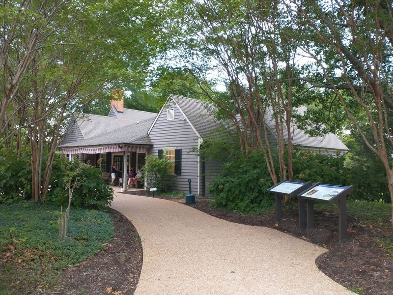
2. Patrick Henry’s Red Hill Marker
Marker is on the right.
Other nearby markers. At least 8 other markers are within walking distance of this marker: Patrick Henry (here, next to this marker); Red Hill (a few steps from this marker); Quarter Place Trailhead (a few steps from this marker); a different marker also named Red Hill (within shouting distance of this marker); Slave and African American Cemetery (within shouting distance of this marker); Quarter Place Entrance (within shouting distance of this marker); Reconstructed Cabin (within shouting distance of this marker); Henry Family Graveyard (about 300 feet away, measured in a direct line). Touch for a list and map of all markers in Brookneal.
Also see . . . Road to Revolution Heritage Trail. (Submitted on August 2, 2026.)
Photographed by Tom Bosse, July 4, 2026
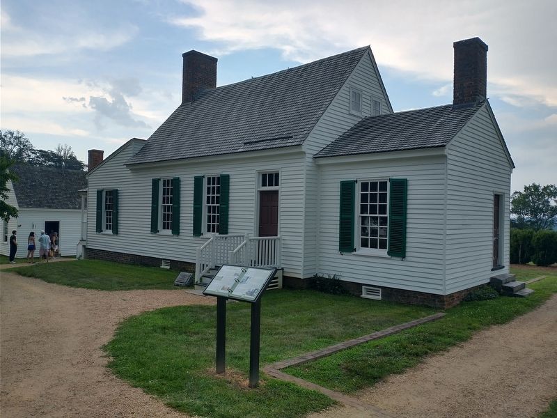
3. Red Hill Plantation - Main House
Photographed by Tom Bosse, July 4, 2026
4. Patrick Henry’s Grave
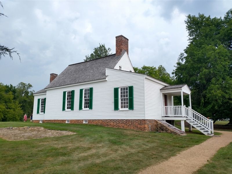
Photographed by Tom Bosse, July 4, 2026
5. Red Hill Plantation - Main House (Back)
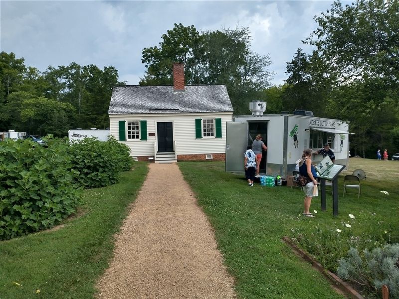
Photographed by Tom Bosse, July 4, 2026
6. Patrick Henry’s Law Office at Red Hill Plantation
Credits. This page was last revised on August 2, 2026. It was originally submitted on July 27, 2026, by Tom Bosse of Jefferson City, Tennessee. This page has been viewed 12 times since then. Photos: 1, 2, 3, 4, 5, 6. submitted on July 27, 2026, by Tom Bosse of Jefferson City, Tennessee. • Bernard Fisher was the editor who published this page.
