Near Feura Bush in Albany County, New York — The American Northeast (Mid-Atlantic)
Slingerland-Lagrange Farm
Photographed by Steve Stoessel, October 11, 2019
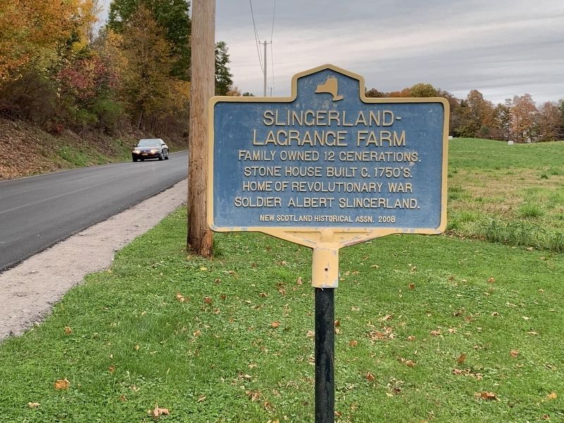
1. Slingerland-Lagrange Farm Marker
Family owned 12 Generations. Stone house built c.1750's. Home of Revolutionary War soldier Albert Slingerland.
Erected by New Scotland Historical Society.
Topics. This historical marker is listed in these topic lists: Agriculture • Colonial Era • Settlements & Settlers • War, US Revolutionary.
Location. 42° 34.56′ N, 73° 55.083′ W. Marker is near Feura Bush, New York, in Albany County. It is on LaGrange Lane 0.1 miles north of Indian Fields Road (State Highway 32), on the right when traveling north. Touch for map. Marker is at or near this postal address: 50 LaGrange Lane, Feura Bush NY 12067, United States of America. Touch for directions.

Regionally, this marker is in Upstate New York, in the Capital District, and in the Albany Metropolitan Area. It is also in the American Northeast and in the Mid-Atlantic. Globally, it is in North America, the Western Hemisphere, the Western World, and the Anglosphere. Historically, it finds itself in what was once New Netherland and also one of the original Thirteen Colonies.
Other nearby markers. At
this page online
Photographed by Steve Stoessel, October 11, 2019
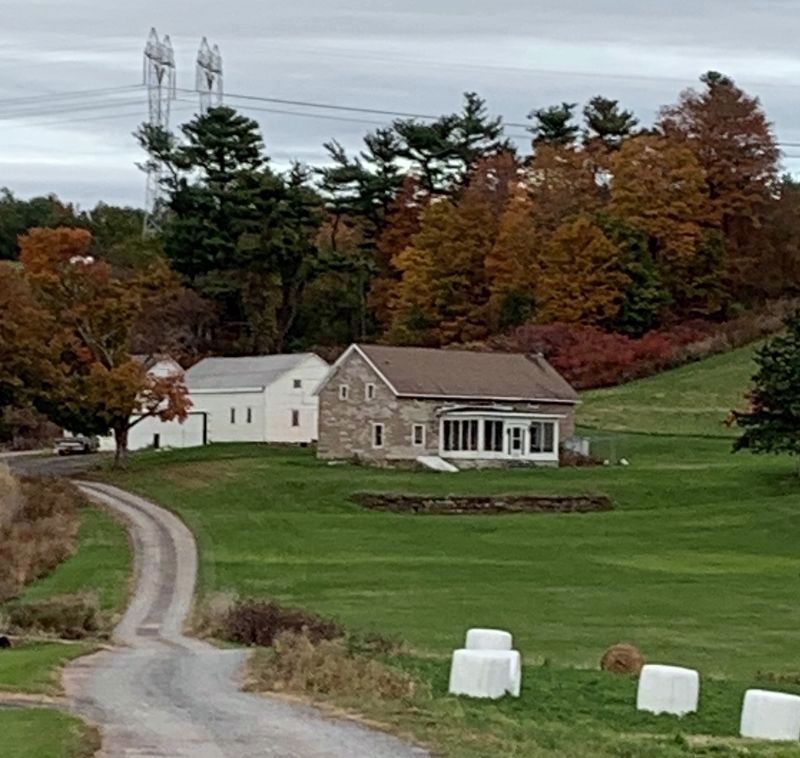
2. Stone House Slingerland Farm
Photographed by Steve Stoessel
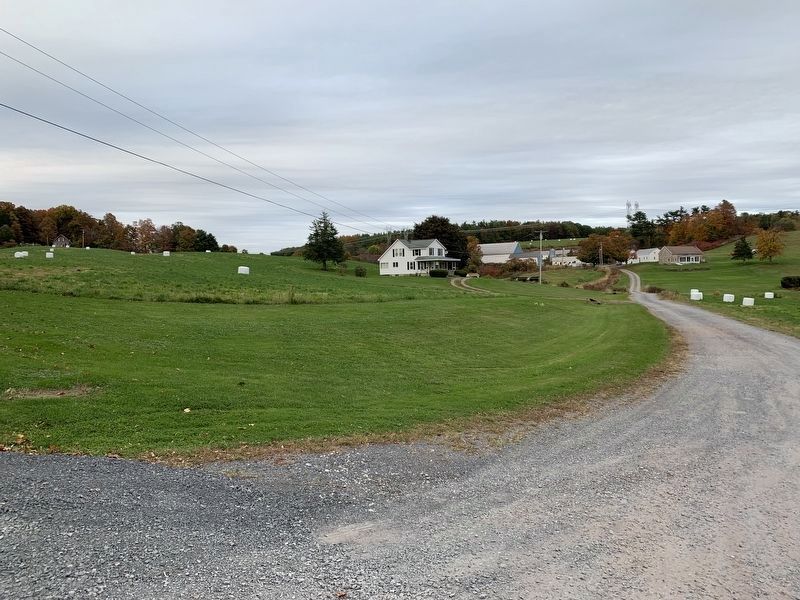
3. Slingerland-Lagrange Farm

Photographed by Trudi Jacobson, December 31, 2024
4. Slingerland-Lagrange Farm Marker
Credits. This page was last revised on July 28, 2026. It was originally submitted on October 11, 2019, by Steve Stoessel of Niskayuna, New York. This page has been viewed 1,115 times since then and 105 times this year. Last updated on July 27, 2026, by Trudi Jacobson of Slingerlands, New York. Photos: 1, 2, 3. submitted on October 11, 2019, by Steve Stoessel of Niskayuna, New York. 4. submitted on December 31, 2024, by Trudi Jacobson of Slingerlands, New York. • Devry Becker Jones was the editor who published this page.
