Goderich in Huron County, Ontario — Central Canada (North America)
Vicki Keith
Lake Huron Swim

Photographed by Tim Boyd, July 15, 2026
1. Vicki Keith Marker
Erected 1989.
Topics. This historical marker is listed in these topic lists: Charity & Public Work • Notable Events • Sports • Women. A significant historical date for this entry is July 17, 1988.
Location. 43° 44.696′ N, 81° 43.563′ W. Marker is in Goderich, Ontario, in Huron County. It is on Harbour Street, on the
this page online

Regionally, this marker is in the Huron-Perth-Waterloo-Wellington Area and in Southwestern Ontario. It is also in Central Canada. Globally, it is in North America, on the Great Lakes, in the Western Hemisphere, in the Western World, and in the Anglosphere. Historically, it finds itself in what was once a British colony, the Viceroyalty of New France, the Haudenosaunee (Iroquois) Confederacy, and Rupert’s Land.
Other nearby markers. At least 8 other markers are within walking distance of this marker: Goderich Salt Mine (here, next to this marker); Working at the Bathing House (here, next to this marker); Goderich Harbour (here, next to this marker); The Bathing House (here, next to this marker); The CPR Freight Shed (a few steps from this marker); Fish Shanties (a few steps from this marker); Ship Island (a few steps from this marker);
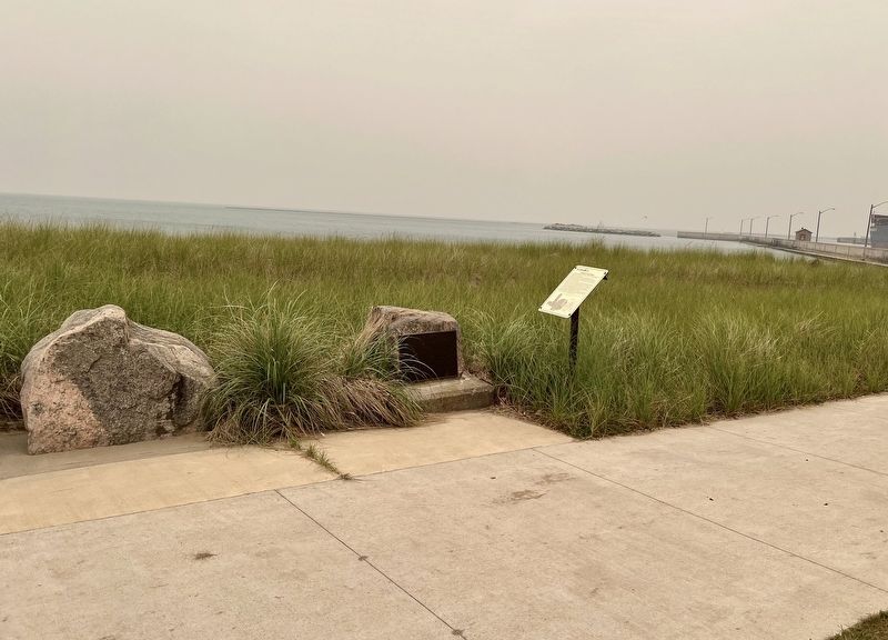
Photographed by Tim Boyd, July 15, 2026
2. Vicki Keith Marker
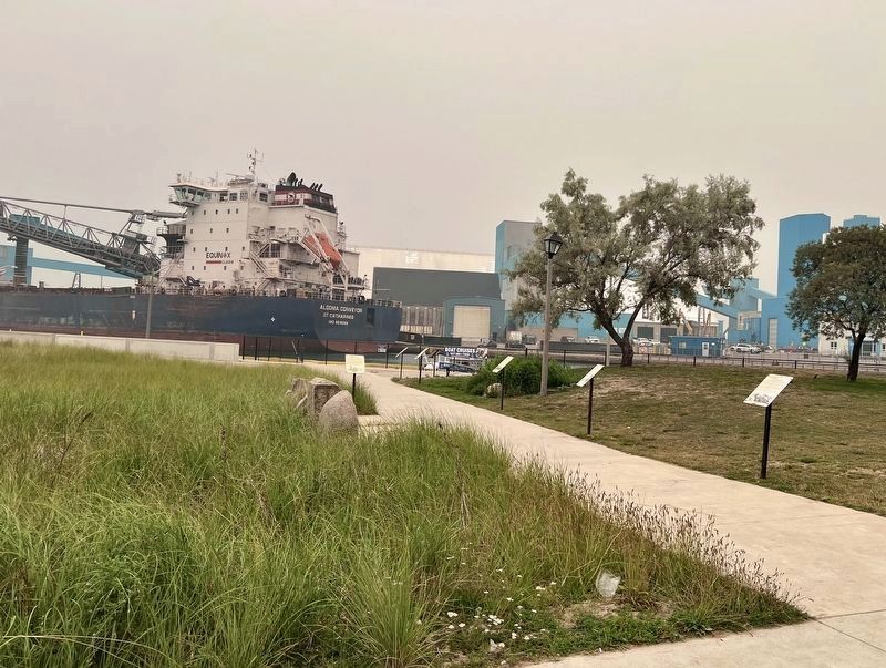
Photographed by Tim Boyd, July 15, 2026
3. Vicki Keith Marker
Looking from the Rotary Brach Hut, the marker is attached to a stone on the lefthand side of the walkway
Credits. This page was last revised on July 28, 2026. It was originally submitted on July 28, 2026, by Tim Boyd of Hamilton, Ontario. This page has been viewed 13 times since then. Photos: 1, 2, 3. submitted on July 28, 2026, by Tim Boyd of Hamilton, Ontario. • Andrew Ruppenstein was the editor who published this page.
