Near Brookneal in Campbell County, Virginia — The American South (Mid-Atlantic)
Quarter Place Entrance
Patrick Henry's Red Hill
Photographed by Tom Bosse, July 4, 2026
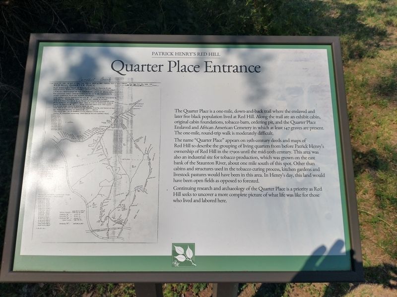
1. Quarter Place Entrance Marker
The name "Quarter Place" appears on 19th-century deeds and maps of Red Hill to describe the grouping of living quarters from before Patrick Henry's ownership of Red Hill in the 1790s until the mid-20th century. This area was also an industrial site for tobacco production, which was grown on the east bank of the Staunton River, about one mile south o this spot. Other than cabins and structures used in the tobacco curing process, kitchen gardens and livestock pastures would have been in this area. In henry's day, this land would have been open fields as opposed to forested.
Continuing research and archaeology of the Quarter Place is a priority as Red Hill seeks to uncover a more complete picture of what life was like for those who lived and labored
this page online
Erected by Patrick Henry National Memorial.
Topics. This historical marker is listed in these topic lists: African Americans • Anthropology & Archaeology • Cemeteries & Burial Sites.
Location. 37° 2.02′ N, 78° 53.946′ W. Marker is near Brookneal, Virginia, in Campbell County. It can be reached from Red Hill Road (County Route 677) 1.2 miles south of Patrick Henry Road, on the right when traveling south. Marker is located at Red Hill Patrick Henry National Memorial. Touch for map. Marker is at or near this postal address: 1250 Red Hill Road, Brookneal VA 24528, United States of America. Touch for directions.

Regionally, this marker is in the Piedmont and in Central Virginia. It is also in the American South and specifically in the Upper South. Globally, it is in North America, the Western Hemisphere, the Western World, and the Anglosphere. Historically, it finds itself in what was once the territory of the Mississippian Culture, one of the original Thirteen Colonies, one of the Confederate States of America, and the Antebellum South.
Other nearby markers. At
Photographed by Tom Bosse, July 4, 2026
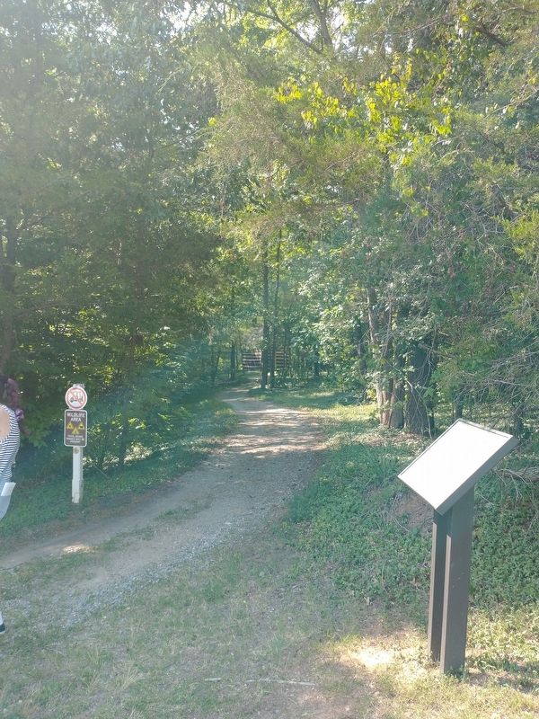
2. Quarter Place Entrance Marker
Related markers. Click here for a list of markers that are related to this marker. The Quarter Place at Patrick Henry's Red Hill Plantation
Also see . . . Red Hill. Patrick Henry National Memorial (Submitted on July 28, 2026, by Tom Bosse of Jefferson City, Tennessee.)
Photographed by Tom Bosse, July 4, 2026
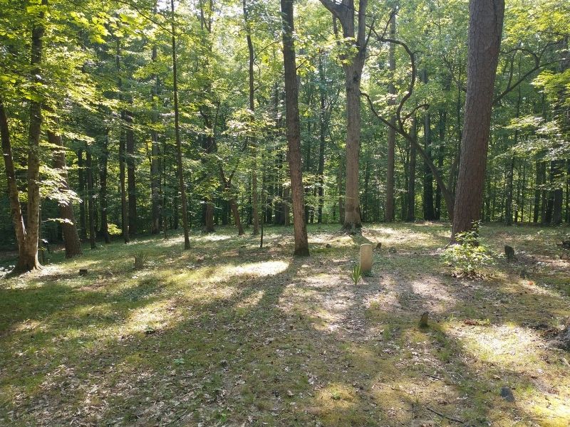
3. The Quarter Place Cemetery
Photographed by Tom Bosse, July 4, 2026
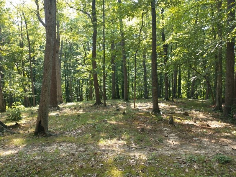
4. The Quarter Place Cemetery
Credits. This page was last revised on August 1, 2026. It was originally submitted on July 28, 2026, by Tom Bosse of Jefferson City, Tennessee. This page has been viewed 9 times since then. Photos: 1, 2, 3, 4. submitted on July 28, 2026, by Tom Bosse of Jefferson City, Tennessee. • Bernard Fisher was the editor who published this page.
