Mount Holly in Gaston County, North Carolina — The American South (South Atlantic)
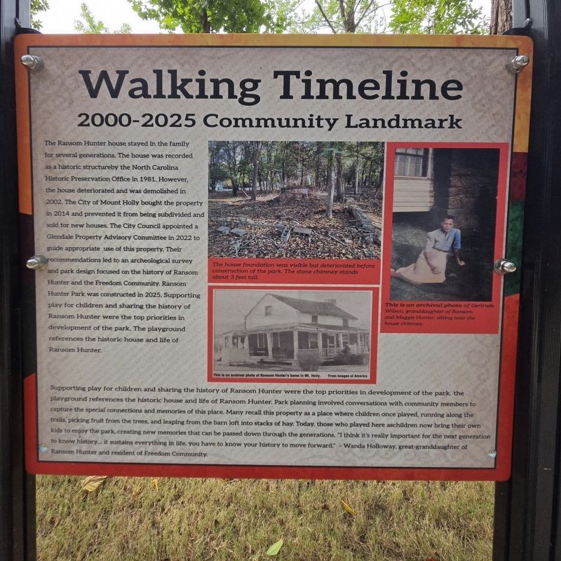
2000-2025 Community Landmark
Walking Timeline
Photographed by Mark Parker, July 28, 2026
1. 2000-2025 Community Landmark Marker
Supporting play for children and sharing the history of Ransom Hunter were the top priorities in development of the park. The playground references the historic house and life of Ransom Hunter. Park planning involved conversations with community members to capture the special connections and
this page online
(captions)
The house foundation was visible but deteriorated before construction of the park. The stone chimney stands about 3 feet tall.
This is an archival photo of Ransom Hunter's home in Mount Holly. From Images of America
This is an archival photo of Gertrude Wilson, granddaughter of Ransom and Maggie Hunter sitting near the house chimney.
Erected 2025 by Town of Mt Holly.
Topics. This historical marker is listed in these topic lists: African Americans • Anthropology & Archaeology • Parks & Recreational Areas.
Location. 35° 17.649′ N,
Photographed by Mark Parker, July 28, 2026
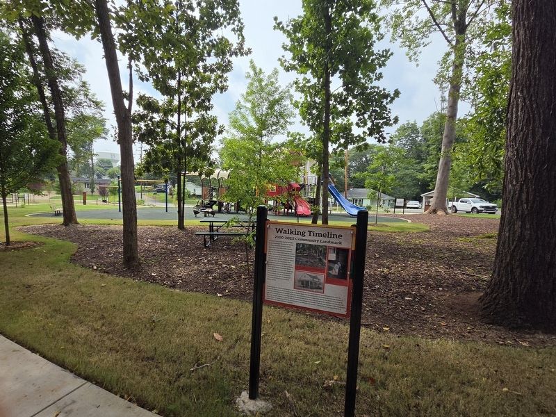
2. 2000-2025 Community Landmark Marker and playground

Regionally, this marker is in the Piedmont and in Greater Charlotte. It is also in the American South and specifically in the Upper South. Globally, it is in North America, the Western Hemisphere, the Western World, and the Anglosphere. Historically, it finds itself in what was once the territory of the Mississippian Culture, one of the original Thirteen Colonies, one of the Confederate States of America, and the Antebellum South.
Other nearby markers. At least 8 other markers are within walking distance of this marker: 1910-1960s Building the Freedom Community (a few steps from this marker); 1830-1910 Life on Freedom Farm (a few steps from this marker); The Mighty Oak Tree (within shouting distance of this marker); 1830-1910 Enslavement to Landowner (within shouting distance of this marker); Historic Homesite and Landscape (within shouting distance of this marker); Ransom Hunter & Freedom Rock (within shouting distance of this marker); 128 South Main Street (approx. 0.3 miles away); 126 South Main Street (approx. 0.3 miles away). Touch for a list and map of all markers in Mount Holly.
More about this marker. The marker is the first of four that gives a timeline of the life of Ransom Hunter and the future community he influenced.
Credits. This page was last revised on August 4, 2026. It was originally submitted on July 28, 2026, by Mark Parker of Hickory, North Carolina. This page has been viewed 18 times since then. Photos: 1, 2. submitted on July 28, 2026, by Mark Parker of Hickory, North Carolina. • Bernard Fisher was the editor who published this page.
