Near Brookneal in Campbell County, Virginia — The American South (Mid-Atlantic)
Quarter Place Cemetery
Patrick Henry's Red Hill

Photographed by Tom Bosse, July 4, 2026
1. Quarter Place Cemetery Marker
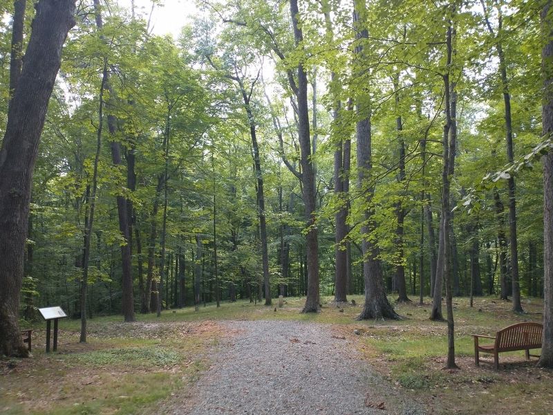
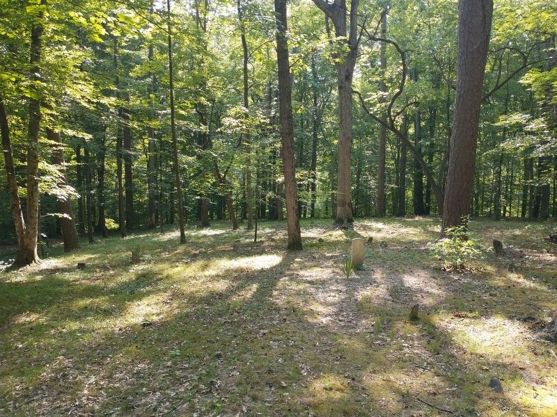
This cemetery shows patterns of placement, condition, and size consistent with other Black cemeteries on southern plantations. Burial sites for the enslaved were usually chosen due to their lack of agricultural potential and uneven layout, which is evident here. In 2019 Red Hill partnered with the University of Longwood's Institute of Archaeology to map and survey this cemetery. Using LiDAR technology, 147 graves were identified. Most graves are marked by a headstone and footstone, varying between two feet and seven feet in length. Additional gravesites in other areas of Quarter Place were identified as well.
Matilda Pannell is the only burial with an inscribed headstone. Born in 1861 at Red Hill, she was enslaved by John Henry until the end of the Civil War in 1865. Matilda died free in 1923 and requested to be buried with her ancestors. In the summer of 2020, Red Hill began research to identify the individuals buried
this page online
Acquiring this cemetery and Quarter Place as a whole allows us to integrate, in a meaningful way, the birth, life, perseverance, and resilience of those enslaved by the Henry family into the history of Red Hill and the nation's founding. Research on this project is ongoing, and it is hoped to uncover all names of those interred here as well as information about their lives and descendants.
(captions)
Map of Quarter Place Cemetery with all located burials. Courtesy of Dr. Brian Bates, Longwood University.
Harrison Henry pictured at Red Hill, ca. 1890. Harrison was buried here around 1906. Red Hill Collection.
Erected by Patrick Henry National Memorial.
Topics. This historical marker is listed in these topic lists: African Americans • Anthropology & Archaeology • Cemeteries & Burial Sites.
Location. 37° 2.059′ N, 78° 54.096′ W. Marker is near Brookneal, Virginia, in Campbell County. It can be reached from
Photographed by Tom Bosse, July 4, 2026
2. Quarter Place Cemetery Marker

Regionally, this marker is in the Piedmont and in Central Virginia. It is also in the American South and specifically in the Upper South. Globally, it is in North America, the Western Hemisphere, the Western World, and the Anglosphere. Historically, it finds itself in what was once the territory of the Mississippian Culture, one of the original Thirteen Colonies, one of the Confederate States of America, and the Antebellum South.
Other nearby markers. At least 8 other markers are within walking distance of this marker: Tobacco Barn (within shouting distance of this marker); Ordering Pit (within shouting distance of this marker); Cabin Foundations (about 600 feet away, measured in a direct line); Reconstructed Cabin (about 700 feet away); Quarter Place Entrance (about 800 feet away); Slave and African American Cemetery
Photographed by Tom Bosse, July 4, 2026
3. Quarter Place Cemetery
Related markers. Click here for a list of markers that are related to this marker. The Quarter Place at Patrick Henry's Red Hill Plantation
Also see . . . Red Hill. Patrick Henry National Memorial (Submitted on August 1, 2026.)

Photographed by Tom Bosse, July 4, 2026
4. Quarter Place Cemetery
Credits. This page was last revised on August 4, 2026. It was originally submitted on July 29, 2026, by Tom Bosse of Jefferson City, Tennessee. This page has been viewed 16 times since then. Photos: 1, 2, 3, 4. submitted on July 29, 2026, by Tom Bosse of Jefferson City, Tennessee. • Bernard Fisher was the editor who published this page.
