Monroe Township in West Liberty in Logan County, Ohio — The American Midwest (Great Lakes)
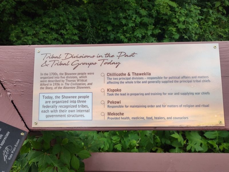
Tribal Divisions in the Past & Tribal Groups Today
Photographed by Craig Doda, July 11, 2026
1. Tribal Divisions in the Past & Tribal Groups Today Marker
In the 1700s, the Shawnee people were organized into five divisions, which were described by Thomas Wildcat Alford in 1936 in The Civilization, and the Story, of the Absentee Shawnees.
Today, the Shawnee people are organized into three federally recognized tribes, each with their own internal government structures.
Chillicothe & Thawekila
The two principal divisions – responsible for political affairs and matters affecting the whole tribe and generally supplied the principal tribal chiefs.
Kispoko
Took the lead in preparing and training for war and supplying war chiefs.
Pekowi
Responsible for maintaining order and for matters of religion and ritual.
Mekoche
Provided health, medicine, food, healers, and counselors.
Erected by Piatt Castle Mac-A-Cheek; The Mac-A-Cheek Foundation for the Humanities; America 250: Ohio Commission.
Topics and series. This historical marker is listed in these topic lists: Anthropology & Archaeology • Government & Politics • Indigenous Peoples and Communities • Settlements & Settlers. In addition, it is included in the America 250: Ohio Commission
this page online
Location. 40° 15.062′ N, 83° 43.627′ W. Marker is in West Liberty, Ohio, in Logan County. It is in Monroe Township. It is at the intersection of County Route 47 and Ohio Route 245, on the right when traveling north on County Route 47. Touch for map. Marker is at or near this postal address: 10051 Township Rd 47, West Liberty OH 43357, United States of America. Touch for directions.

Regionally, this marker is in the Till Plains. It is also in the American Midwest and in the Corn Belt. Globally, it is in North America, the Western Hemisphere, the Western World, and the Anglosphere. Historically, it finds itself in what was once the Viceroyalty of New France, the Haudenosaunee (Iroquois) Confederacy, the territory of the Mississippian Culture, and the Northwest Territory.
Other nearby markers. At least 8 other markers are within walking distance of this marker: Past Shawnee Villages (here, next to this marker); Great Council State Park (here, next to this marker); Why aren't we standing in a Shawnee village? (here, next to this marker); How the Mekoche Were Remembered
Photographed by Craig Doda, July 11, 2026
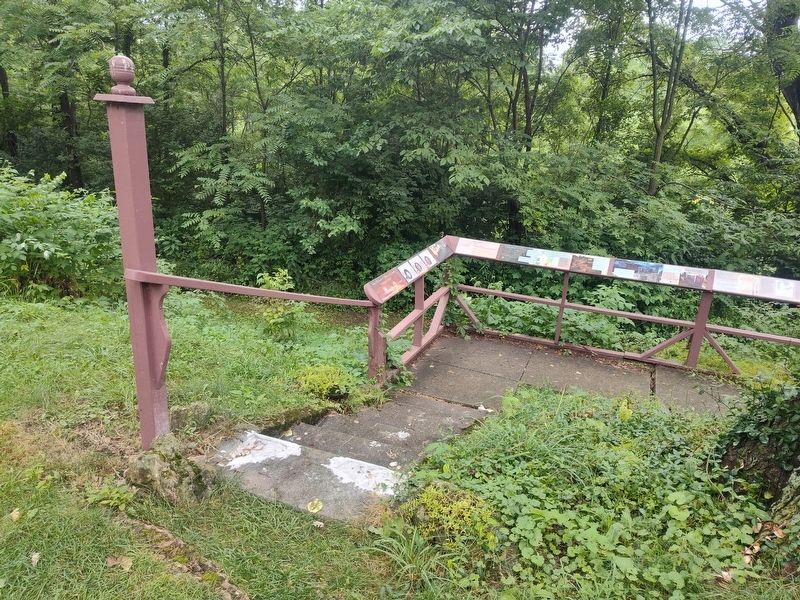
2. Tribal Divisions in the Past & Tribal Groups Today Marker
Photographed by Craig Doda, July 11, 2026
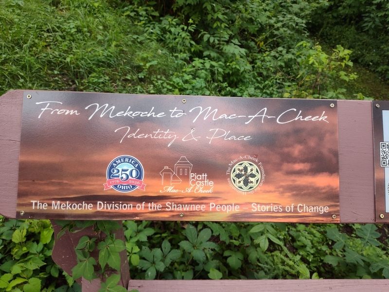
3. Tribal Divisions in the Past & Tribal Groups Today Marker
Credits. This page was last revised on August 6, 2026. It was originally submitted on July 30, 2026, by Craig Doda of Napoleon, Ohio. This page has been viewed 13 times since then. Photos: 1, 2, 3. submitted on July 30, 2026, by Craig Doda of Napoleon, Ohio. • Devry Becker Jones was the editor who published this page.
