Monroe Township near West Liberty in Logan County, Ohio — The American Midwest (Great Lakes)
Hopewell Ceremonial Earthworks
Photographed by Craig Doda, July 11, 2026
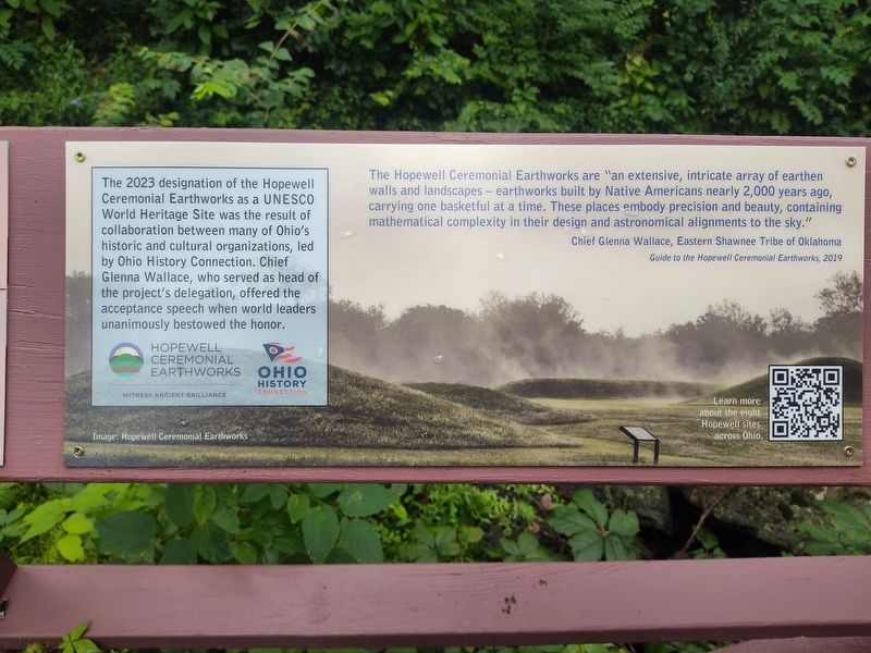
1. Hopewell Ceremonial Earthworks Marker
The 2023 designation of the Hopewell Ceremonial Earthworks as a UNESCO World Heritage Site was the result of collaboration between many of Ohio's historic and cultural organizations, led by Ohio History Connection. Chief Glenna Wallace, who served as head of the project's delegation, offered the acceptance speech when world leaders unanimously bestowed the honor.
The Hopewell Ceremonial Earthworks are "an extensive, intricate array of earthen walls and landscapes – earthworks built by Native Americans nearly 2,000 years ago, carrying one basketful at a time. These places embody precision and beauty, containing mathematical complexity in their design and astronomical alignments to the sky."
Chief Glenna Wallace, Eastern Shawnee Tribe of Oklahoma
Guide to the Hopewell Ceremonial Earthworks, 2019
Erected by Piatt Castle Mac-A-Cheek; The Mac-A-Cheek Foundation for the Humanities; America 250: Ohio Commission.
Topics and series. This historical marker is listed in these topic lists: Anthropology & Archaeology • Indigenous Peoples and Communities. In addition, it is included in the America 250: Ohio Commission
this page online
Location. 40° 15.062′ N, 83° 43.622′ W. Marker is near West Liberty, Ohio, in Logan County. It is in Monroe Township. It is at the intersection of Local Road 47 and State Route 245, on the right when traveling north on Local Road 47. Touch for map. Marker is at or near this postal address: 10051 Township Rd 47, West Liberty OH 43357, United States of America. Touch for directions.

Regionally, this marker is in Ohio’s Till Plains. It is also in the American Midwest and in the Corn Belt. Globally, it is in North America, the Western Hemisphere, the Western World, and the Anglosphere. Historically, it finds itself in what was once the Viceroyalty of New France, the Haudenosaunee (Iroquois) Confederacy, the territory of the Mississippian Culture, and the Northwest Territory.
Other nearby markers. At least 8 other markers are within walking distance of this marker: A History of Historic Markers (here, next to this marker); Finding the Balance Between History & Legacy (here, next to this marker); How the Mekoche Were Remembered (here, next to this marker); Why aren't we standing in a Shawnee village?
Photographed by Craig Doda, July 11, 2026
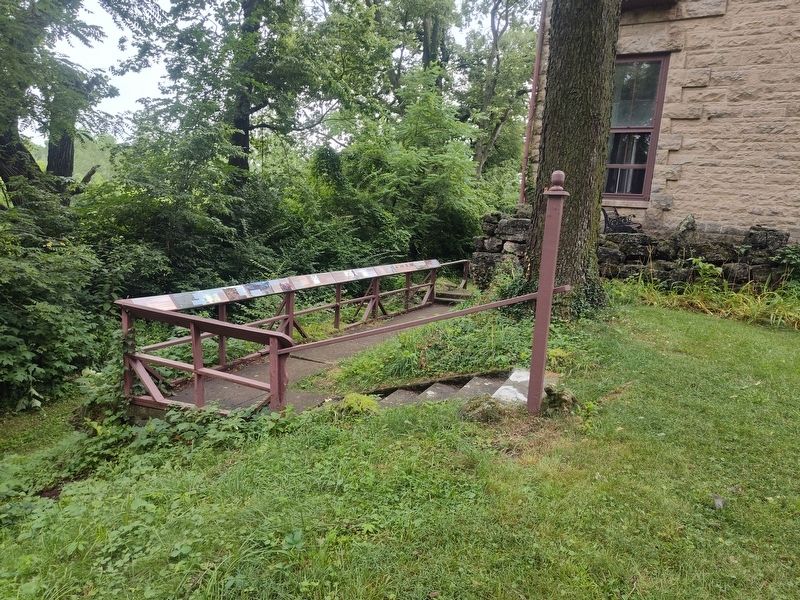
2. Hopewell Ceremonial Earthworks Marker
Photographed by Craig Doda, July 11, 2026
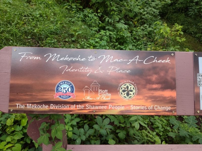
3. Hopewell Ceremonial Earthworks Marker
Credits. This page was last revised on August 7, 2026. It was originally submitted on July 30, 2026, by Craig Doda of Napoleon, Ohio. This page has been viewed 12 times since then. Photos: 1, 2, 3. submitted on July 30, 2026, by Craig Doda of Napoleon, Ohio. • Devry Becker Jones was the editor who published this page.
