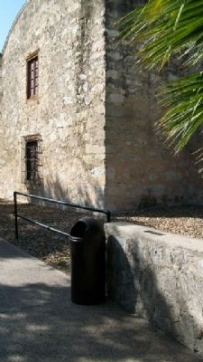
Alamo Plaza in San Antonio in Bexar County, Texas — The American South (West South Central)
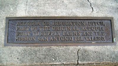
Acequia (Irrigation Ditch)
part of the original acequia
built to supply farms and the
Mission San Antonio del Valero.
Topics and series. This historical marker is listed in these topic lists: Churches & Religion • Man-Made Features • Settlements & Settlers • Waterways & Vessels. In addition, it is included in the El Camino Real de los Tejas National Historic Trail series list.
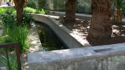
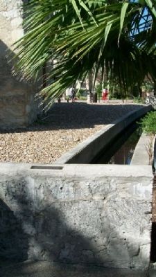
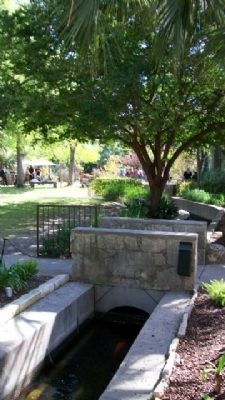
Location. 29° 25.566′ N, 98° 29.14′ W. Marker is in San Antonio, Texas, in Bexar County. It is in Alamo Plaza. Idential markers are on the footbridges over the acequia running near the east wall of the Gift Shop building on the Alamo grounds. Touch for map. Marker is at or near this postal address: 300 Alamo Plaza, San Antonio TX 78205, United States of America. Touch for directions.
Other nearby markers. At least 8 other markers are within walking distance of this marker. The Alamo in 1836 (within shouting distance of this marker); From Warehouse to Shrine (within shouting distance of this marker); From Republic to Early Statehood (within shouting distance of this marker); The Birth of the Republic of Texas (within shouting distance of this marker); Juan Nepomuceno Seguín (within shouting distance of this marker); The Struggle for Independence (within shouting distance of this marker); The Decline of Spanish Rule (within shouting distance of this marker); The Mission Period (within shouting distance of this marker). Touch for a list and map of all markers in San Antonio.
Also see . . . Acequias Along the San Antonio River. (Submitted on May 15, 2010, by William Fischer, Jr. of Scranton, Pennsylvania.)
Credits. This page was last revised on February 2, 2023. It was originally submitted on May 15, 2010, by William Fischer, Jr. of Scranton, Pennsylvania. This page has been viewed 1,255 times since then and 18 times this year. Photos: 1, 2, 3, 4, 5. submitted on May 15, 2010, by William Fischer, Jr. of Scranton, Pennsylvania.
