Cape Girardeau in Cape Girardeau County, Missouri — The American Midwest (Upper Plains)
Capaha Park
Photographed by Jason Voigt, July 29, 2026
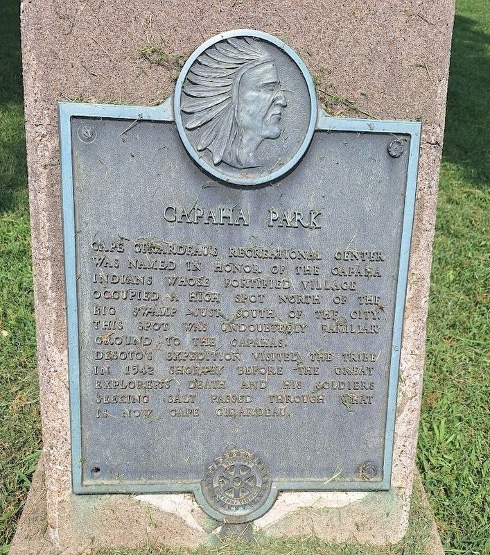
1. Capaha Park Marker
Cape Girardeau's recreational center was named in honor of the Capaha Indians whose fortified village occupied a high spot north of the big swamp just south of the city. This spot was undoubtedly familiar ground to the Capahas.
Desoto's expedition visited the tribe in 1542 shortly before the great explorer's death and his soldiers seeking salt passed through what is now Cape Girardeau.
Erected by Rotary International.
Topics and series. This historical marker is listed in these topic lists: Indigenous Peoples and Communities • Parks & Recreational Areas. In addition, it is included in the Rotary International series list. A significant historical year for this entry is 1542.
Location. 37° 18.617′ N, 89° 32.156′ W. Marker is in Cape Girardeau, Missouri, in Cape Girardeau County. It is on Broadway Street west of North West End Boulevard, on the right when traveling west. Marker is located near the southeast corner of the park. Touch for map. Marker is at or near this postal address: 1401 Broadway St, Cape Girardeau MO 63701, United States of America. Touch for directions.

Regionally, this marker is in Southeast
this page online
Other nearby markers. At least 8 other markers are within walking distance of this marker: World War I Memorial (a few steps from this marker); Korean Memorial (a few steps from this marker); World War II Memorial (within shouting distance of this marker); Vietnam Memorial (within shouting distance of this marker); Replica of the Statue of Liberty (within shouting distance of this marker); The Battle of Cape Girardeau (approx. 0.4 miles away); St. James African Methodist Episcopal Church (approx. 0.7 miles away); H&H Building (approx. 0.8 miles away). Touch for a list and map of all markers in Cape Girardeau.
Regarding Capaha Park. Capaha Park is home to Capaha Field, which has a capacity of just over 2,000. The semi-pro teams that play there are are the
Photographed by Jason Voigt, July 29, 2026
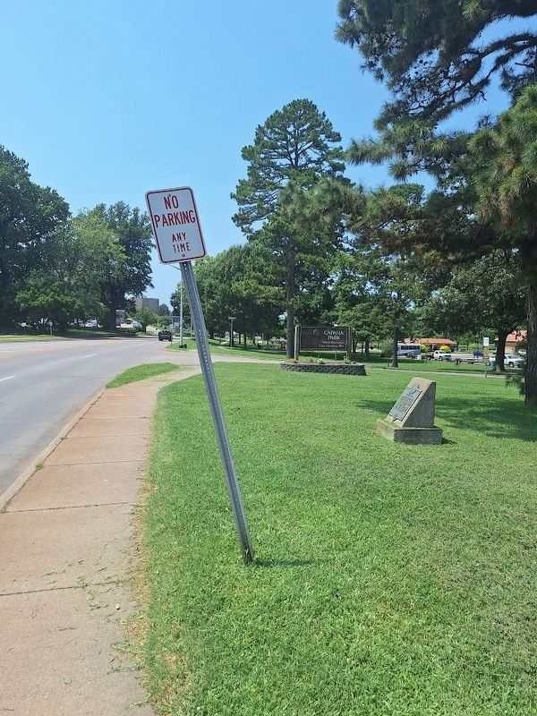
2. Capaha Park Marker
Looking west on Broadway
Also see . . . Capaha Park (City of Cape Girardeau). Capaha Park is the City of Cape Girardeau's oldest park, dating back to 1914. (Submitted on July 30, 2026, by Jason Voigt of Glen Carbon, Illinois.)
Credits. This page was last revised on July 30, 2026. It was originally submitted on July 30, 2026, by Jason Voigt of Glen Carbon, Illinois. This page has been viewed 14 times since then. Photos: 1, 2. submitted on July 30, 2026, by Jason Voigt of Glen Carbon, Illinois.
